This is part five of our hike around Anglesey. Here are parts one, two, three, and four.
Aberffraw to Rhosneigr
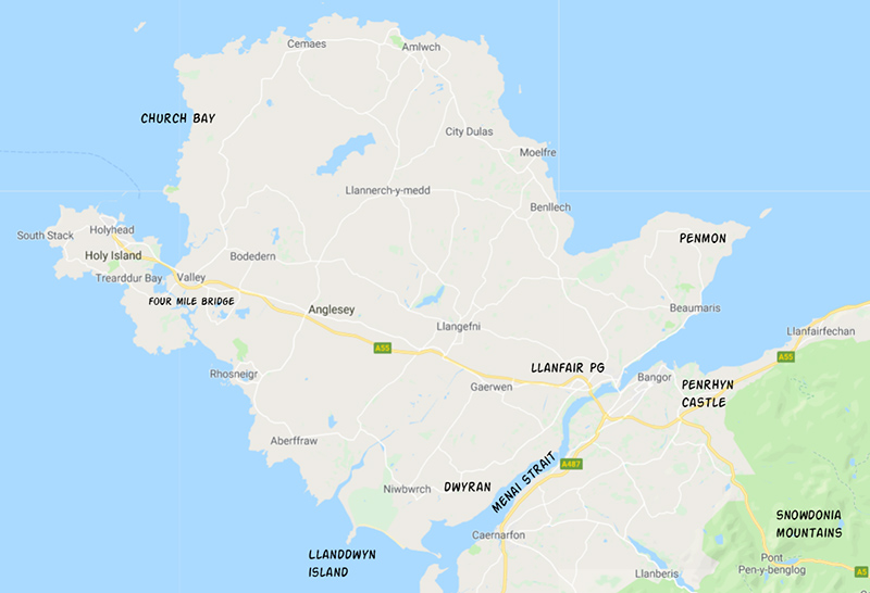
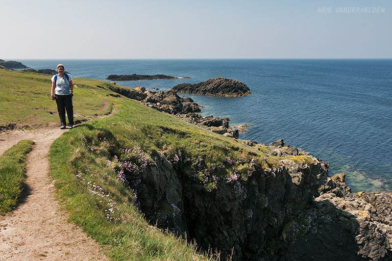
After a very long hike the previous day we were looking forward to an easier walk. Aberffraw to Rhosneigr is only seven miles – a piece of cake! A Welsh cake perhaps? Anyways, past Aberffraw the trail follows a shoreline of rocky headlands.
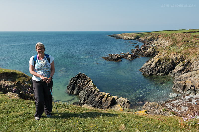
Once again we had spectacular weather to enjoy the outstanding scenery.
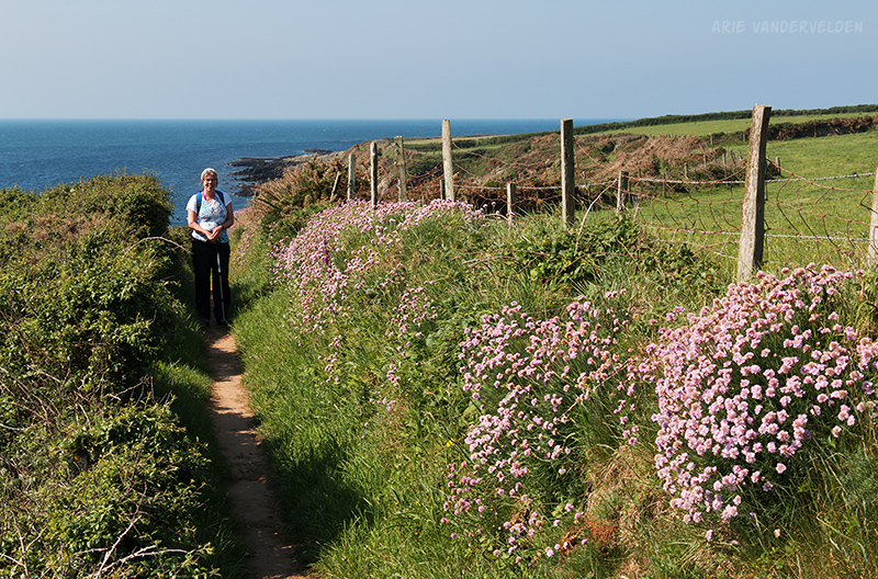
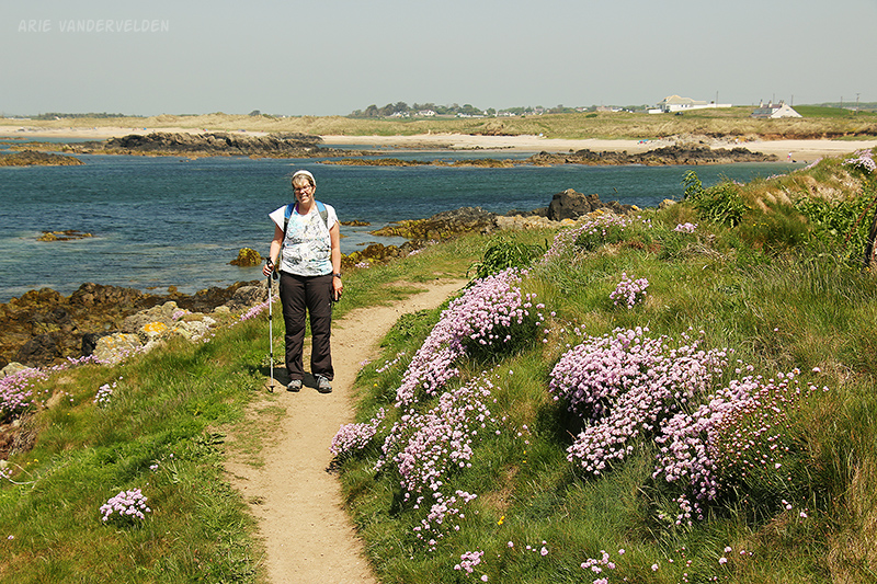
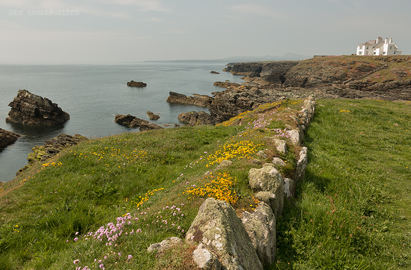
Sea-pinks were particularly abundant along this stretch of coastline.
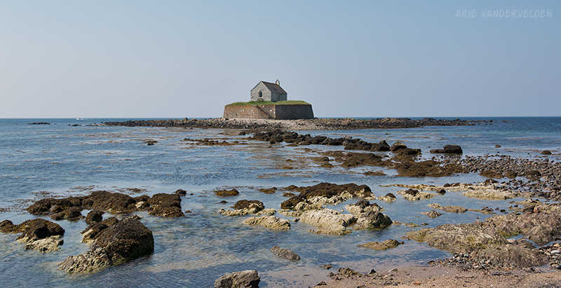
At Porth Cwyfan there is a little church on a skerry. It is only accessible at low tide.
Just beyond Porth Cwyfan is the Anglesey racetrack. Here we had to detour inland to circumvent it. Back at the coast the nice scenery continued.
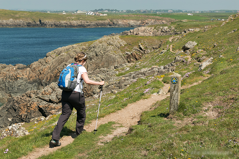
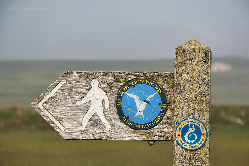
Earlier in the day, in one spot the trail was not well marked and we got stuck on the wrong side of a fence. But here the trail was well marked with signposts.
We passed some car-accessible beaches, some of which were packed with people making the best of the great weather. Porth Trecastell at the head of the bay in the previous picture is a good example. Past Porth Trecastell we passed an ancient Celtic burial mound called Barclodiad y Gawres. The gate was locked, but we were able to peek inside using a flashlight. This was payback after having missed Bryn Celli Dhu a few days earlier due to confusing signage.
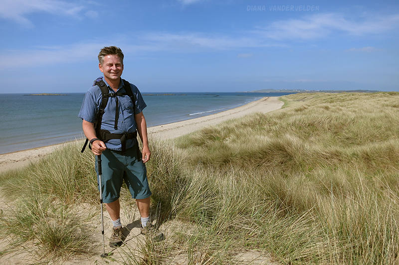
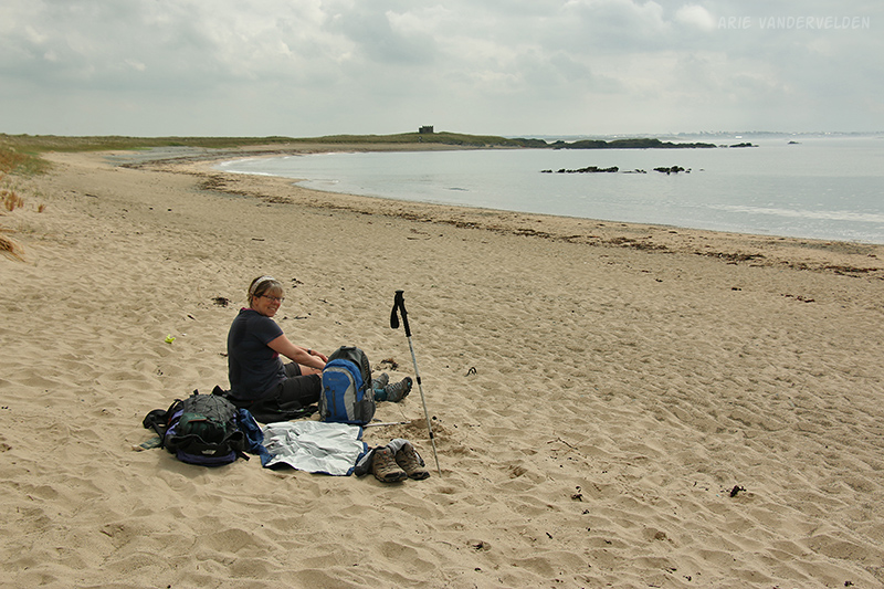
Ahead was Traeth Llydan, a long sandy beach leading up to Rhosneigr, our destination for the day. It was still early in the day so we decided to plunk down in the sand and take it easy for a while. We read novels and did sudoku puzzles. I took the opportunity to soak my tired feet in the ice-cold Irish Sea. It felt good. After checking in at our hotel we came back to the beach, this time armed with some cold cans of cider.
We enjoyed the laid-back beach vibe in the town of Rhosneigr. We ordered a pizza at “Aydin’s takeaway pizza” and sat out on the patio, sipping an Efes beer while waiting for the pizza to cook, watching the world go by. By outwards appearances, our restaurant of choice looked like a greasy-spoon staffed by zit-faced teenagers. However the pizza was surprisingly good, and said teenagers did a great job keeping up with the long line of people placing orders.
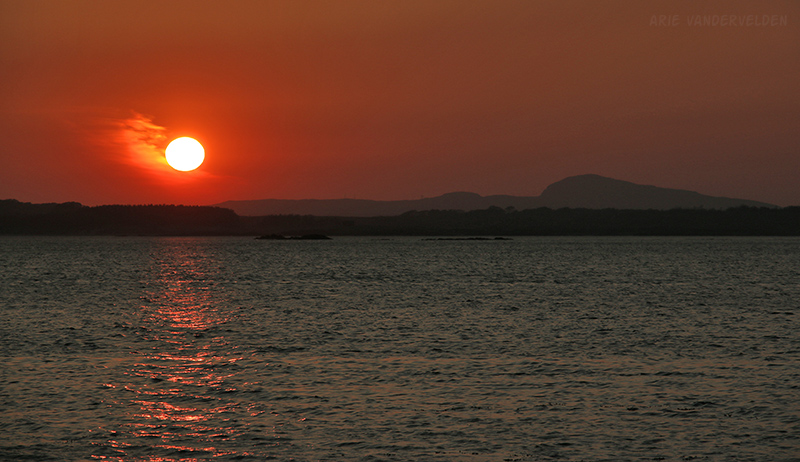
At sunset I went out and took some pictures. The sun set behind Holy Island and Holy Mountain, our final destination, now only just a few days ahead.
Rhosneigr to Four Mile Bridge
North of Rhosneigr is a creek, which required a detour inland to cross, and north of there is an RAF airforce base. Prince William was stationed here for a while, at the time in his life when he was courting Kate. The locals in Rhosneigr pride themselves in royal sightings, and they told us the details of how they spotted the royal couple in the local pubs.
We detoured around the RAF base by hiking the beach that parallels the runway.
Since we didn’t have far to go this day we took it easy for a while on the beach.
All too soon the spectacular beach came to an end. The trail now turned inland, circling around as estuary. The first bit was right underneath the final approach to the runway, and had a fighter jet come in just then it would have been very very loud. But, just then the pilots must have been on a tea break because none came.
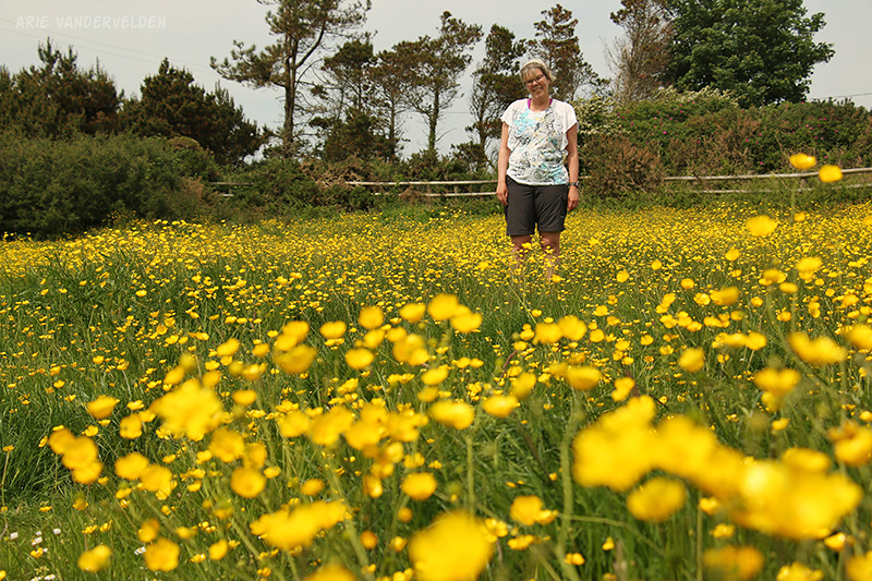
The scenery in the estuary was ho-hum. One section led through fields freshly sprayed with manure – yuk. One highlight, though, was a pretty pasture completely overgrown with buttercups.
At Four Mile Bridge we crossed – you guessed it – a bridge to arrive back on Holy Island where we had started our trip. There is not much to see and do in Four Mile Bridge. It was just a stop for the night.
Four Mile Bridge to Trearddur Bay
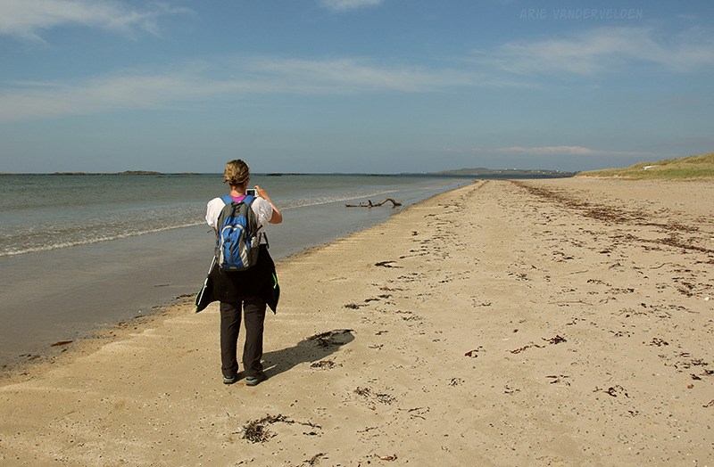
From Four Mile Bridge we hiked some country roads and a section of bushland to arrive at Traeth Llydan (Silver Bay). Silver Bay is a pretty sweep of silver-colored sand.
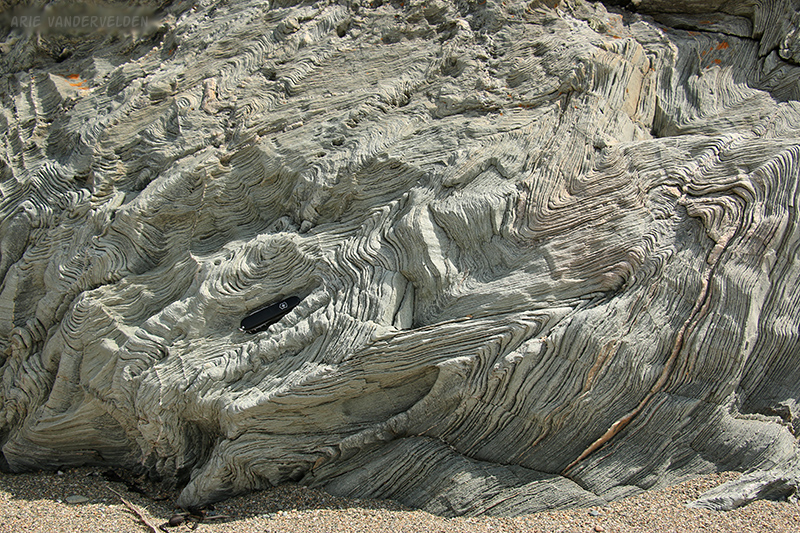
It was a nice day: warm and mostly cloudy. I walked to the far end of the beach to examine the defensive structure on the headland. However it was fenced off and there were lots of signs informing me to keep out. Nearby, though, were some interesting folded rocks.
After dawdling for a while at Silver Bay we continued on towards the village of Rhoscolyn.
Past Rhoscolyn the trail climbs up a tall headland. The coastguard has a watchtower here, and we stopped for a cup of tea just below the tower.
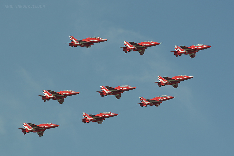
At the nearby airbase, the Red Arrows were practicing their maneuvers. We pretty much got a private airshow.
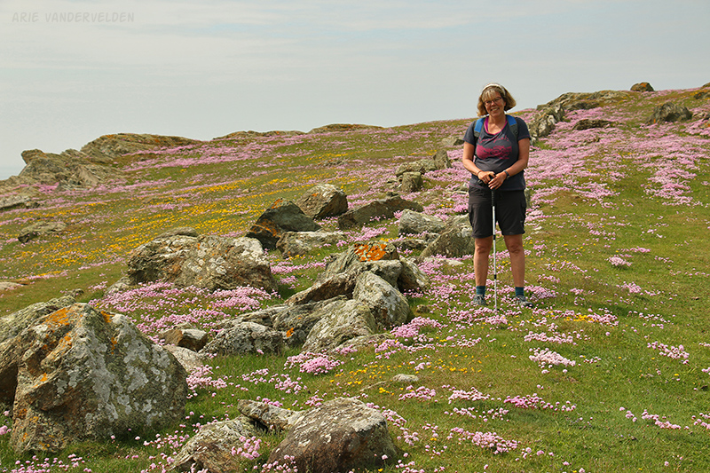
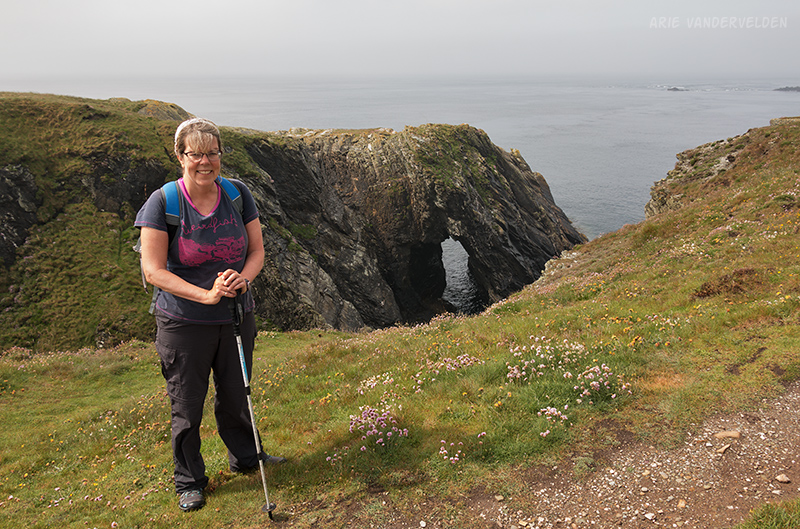
Ahead, the trail went up a steep cliff just behind a stone wall. After looking over the cliff edge and inspecting the tremendous drop-off, I posed for a picture.

Just down below was a very pretty meadow covered in sea-pinks.
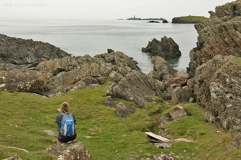
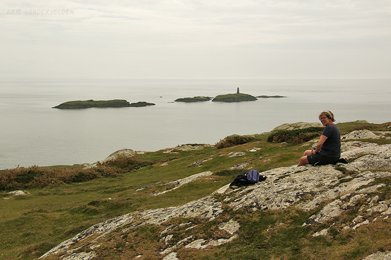
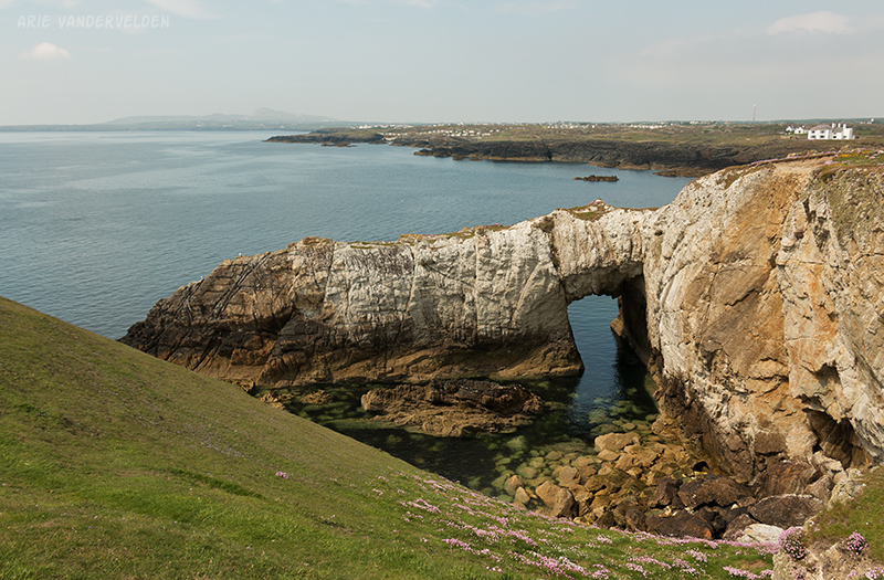
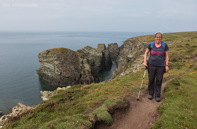
So far we hiked some very pretty headlands, but Mother Nature seemed to have pulled out all the stops in this area. There was a sea-arch:
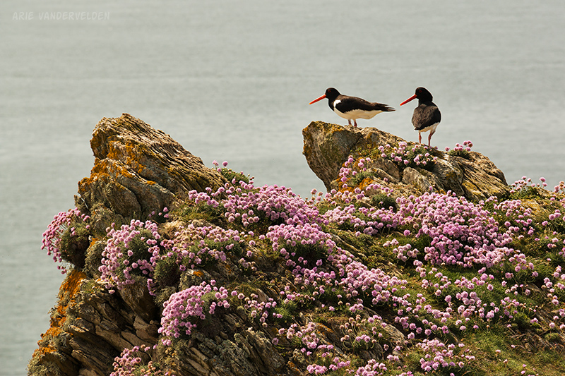
I snuck up on some oystercatchers and got their picture.
More scenery near a pretty Welsh farmhouse:
After a while we connected up with a road and stumbled into Trearddur Bay. There are a number of small cove beaches at the outskirts of Trearddur Bay, as well as a big sweep of sand right in town with a nice esplanade behind it for walking.
Trearddur Bay to Holyhead
Our last day of hiking started out drizzly but soon the weather cleared. The trail looped around small headlands, and at bays it generally followed the road. Past Porth Dafarch the trail wound around a large headland that jutted far out into the sea.
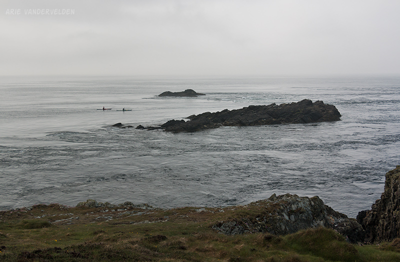
We watched some sea kayakers play around in the tidal currents.
The scenery was very nice.
Once we rounded the tip of the headland,the trail met up with the road. Now the clouds had parted, the sun shone, and it got really hot. We stopped to slap on the sunscreen.
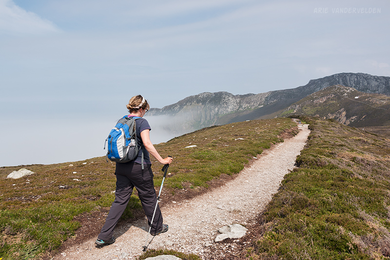
The trail led up a steep road, gaining a lot of elevation.
We were now approaching South Stack.. At South Stack there are large seacliffs that are a breeding ground for seabirds. We could hear them in the distance. At the foot of these cliffs is an island with a lighthouse on it.
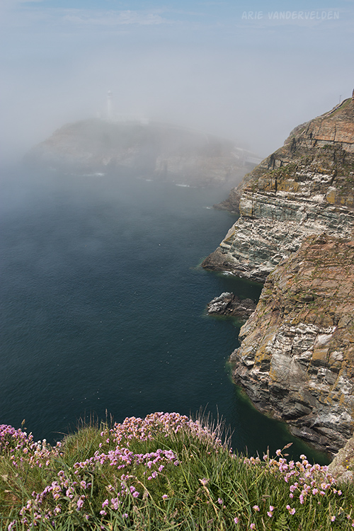
This lighthouse is a major attraction on Anglesey, and there were a lot of tourists around. From the parking lot a steep trail descends down the cliffs to the lighthouse. We considered having a look, but as we were discussing it more fog rolled in.
Only the tip of the lighthouse stuck out above the fog. What’s more, they wanted four pounds 50 p per person to hike this spur trail, with tickets to be bought at the info center which was a quarter mile back the way we came. We decided to skip it and move on.
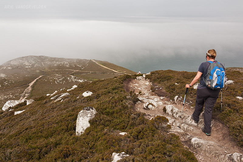
Beyond South Stack the trail followed a ridgeline high above the sea. Normally one would have far-reaching views of the sea here, but all we could see was fog down below.
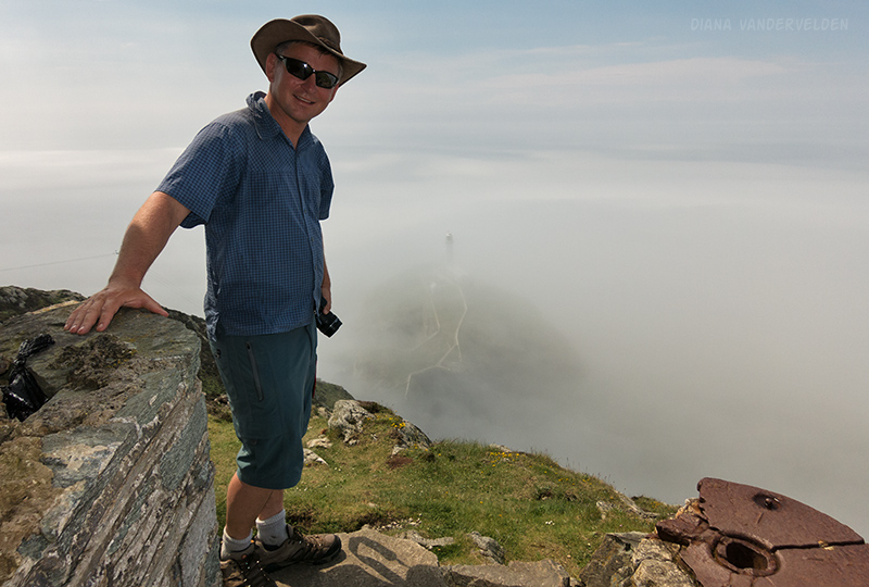
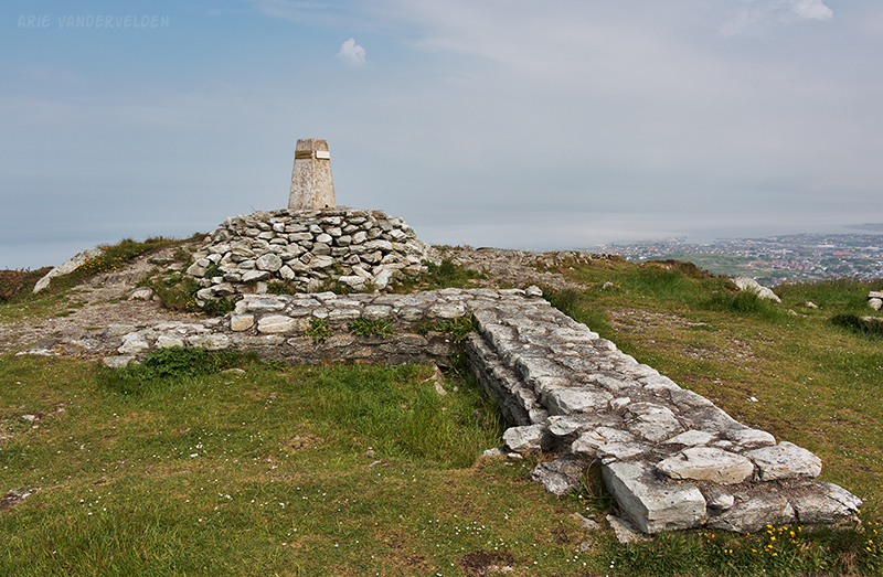
After the ridge the trail continued to climb, heading for a pass just below the summit of Holyhead Mountain. While it’s called a mountain, it really is just a tall hill covered in heather. I decided to take a quick sidetrip to the summit where there was a survey marker and some old foundations of a watchtower. I watched a ferry leave port and disappear into the fog.
On the other side of the pass we followed a trail towards North Stack, a lighthouse on the northern tip of Holy Island.
As we approached the lighthouse we descended into thick fog, and we could not see the lighthouse. So, we decided to turn towards the town of Holyhead. At the foot of Holy Mountain we passed the old quarry where the rock for the Holyhead breakwater was mined. It is now overgrown with weeds and flowers.
Near the breakwater we encountered a strange sight: an old castle overgrown with ivy. When we asked about it at our B&B that evening, we were told that this is a fake castle, built in the 19th century at the same time as the breakwater. It was a hotel, but it went bankrupt. Supposedly there are plans to redevelop it.

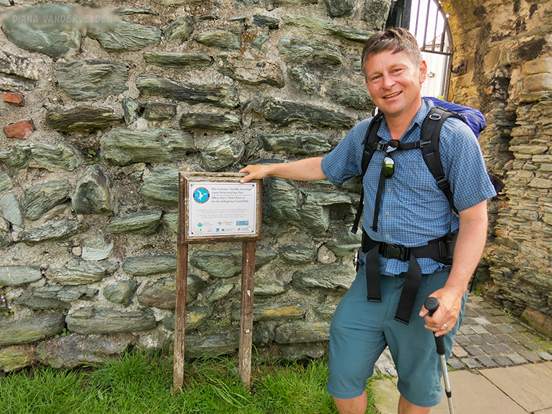
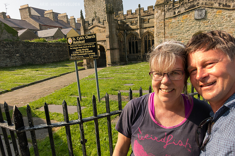
Past the fake castle was the marina. We now recognized our surroundings. We had come here two weeks ago to sit by the water. We walked up high street, the final few steps, and entered the grounds of St. Cybi’s church. We took turns touching the plaque that marks the start and finish of this 210 km circular hike.
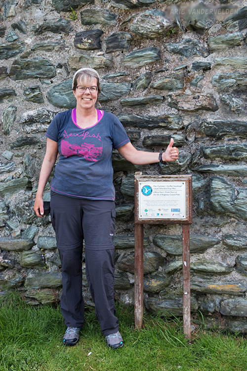
Big smiles as we touched the finish line.
We were both happy and sad to finish the hike. We had had two weeks of great weather to enjoy the stunning scenery. We had gotten into the groove of getting up each day, putting on the boots, and spending the day outside. It wasn’t long before Diana asked me “Can we go around one more time?”
Logistics
In part one of our hike I describe how to organize a hike on Anglesey.
In Rhosneigr we stayed at the Glan Neigr hotel (good). In Four Mile Bridge we stayed at the Little Boathouse. It’s essentially a garage conversion. It’s quite small and cramped but the owner is friendly and the price was right. In Trearddur Bat we stayed at the Beach Motel (good). We did not like the food at the Sea Shanty Cafe. In Holyhead we stayed at the Holyhead Lodge (excellent. highly recommended).
Aberffraw to Rhosneigr is 7 miles (11 km). Rhosneigr to Four Mile Bridge is also 7 miles. Keen hikers can hike from Aberffraw to Four Mile Bridge in a day, but you’d be rushing past some of Anglesey’s nicest beaches. Instead of taking a rest day we did two easy days.
Four Mile Bridge to Trearddur Bay is 9.5 miles (15 km). Trearddur Bay to Holyhead is 11.5 miles (18 km)