This is part two of our hike around the Isle of Anglesey. Read part one of our hike here.
Cemaes to Amlwch
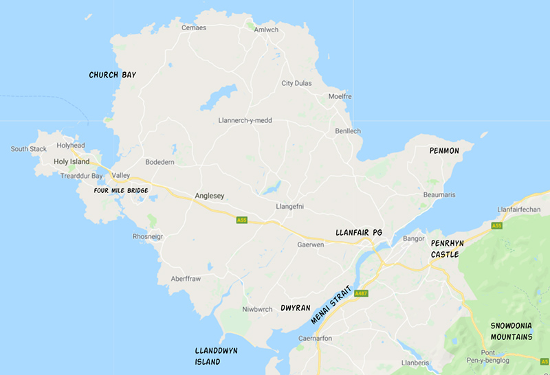
It was an overcast day, breezy, but otherwise fine. We started our day by hiking around Cemaes Bay to Llanbadrig church. The church is said to have been founded by St. Patrick in 440 AD when, on his way to Ireland, he got shipwrecked on nearby Middle Mouse Island. St. Patrick made it to shore and found shelter in a sea-cave. Once recovered, he built a wooden church to give thanks for his survival. The wooden church got replaced by a stone building in the early 14th century. It was then renovated in 1884 by Henry Stanley, the third Baron of Alderley, who had converted to Islam. Blue tiles and stained glass with geometric patterns now give the church a Moorish flair. More recently, a movie called “Half Light” starring Demi Moore was shot at this location.
The surroundings of the church seemed bleak to us. There was a grey sky, grey seas, and grey slate gravestones. There was grass and moorland all around with not a tree in sight. A cold wind was whistling across the slate roof. Yet the interior of the church was quite peaceful.
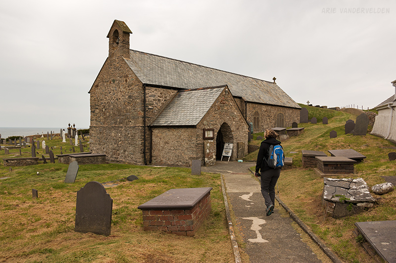
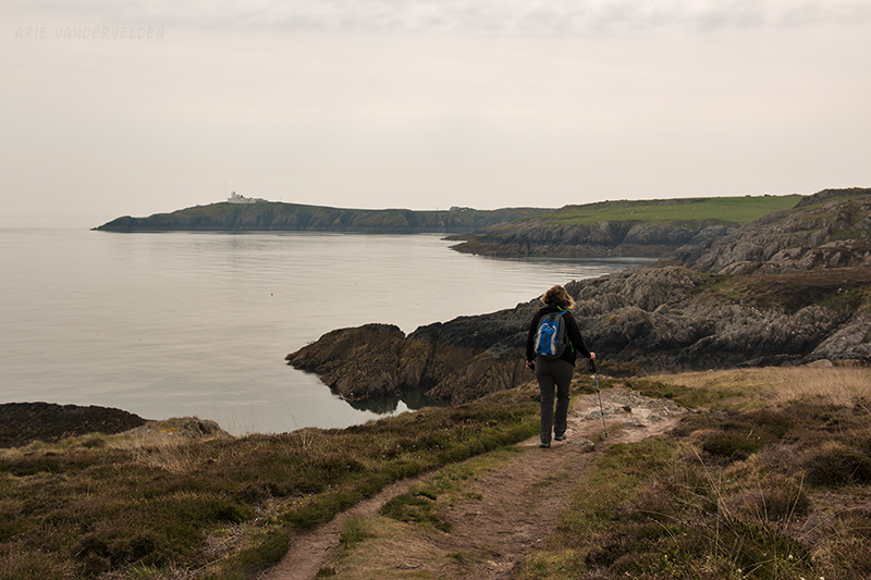
Beyond Llanbadrig the trail went across headlands facing the sea. There were a lot of ups-and-downs as the trail dropped down to sealevel in places.
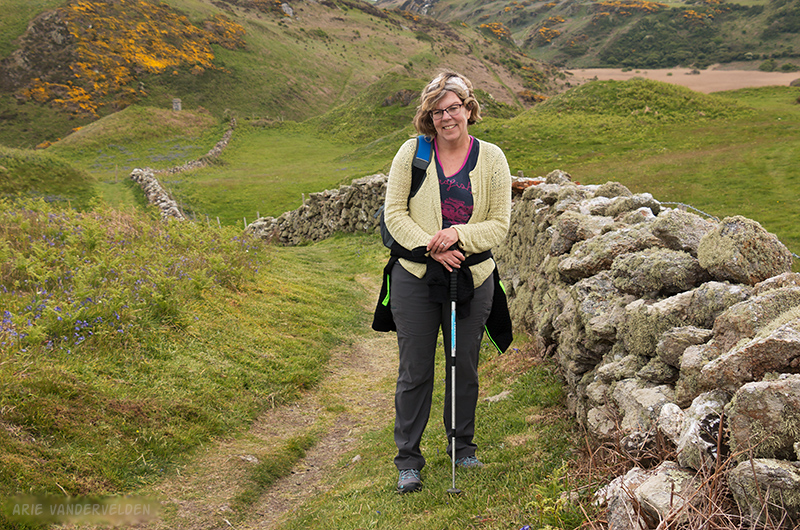
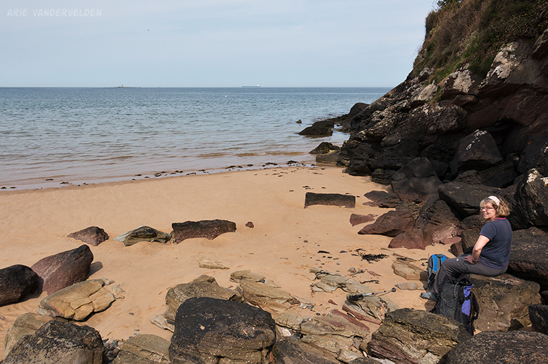
At Porth Wen, a steep sidetrail led down to an old brick factory. There were crumbling brick buildings, towering smokestacks, rusting boilers, and round kilns overgrown with ivy. We sat down and snacked on some Welshcakes.
This brickworks is part of Wales’ industrial heritage. I think it adds to the landscape rather than detracting from it.
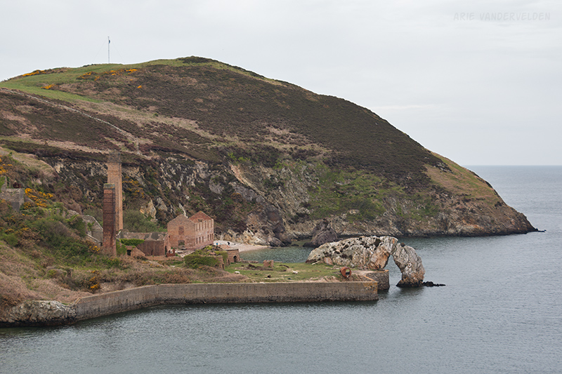
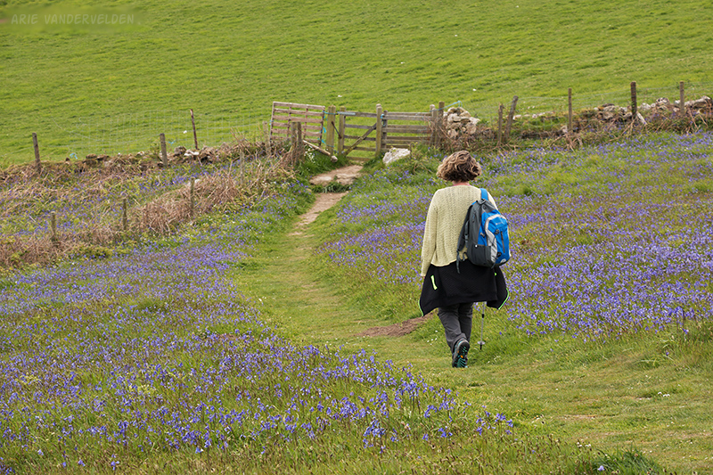
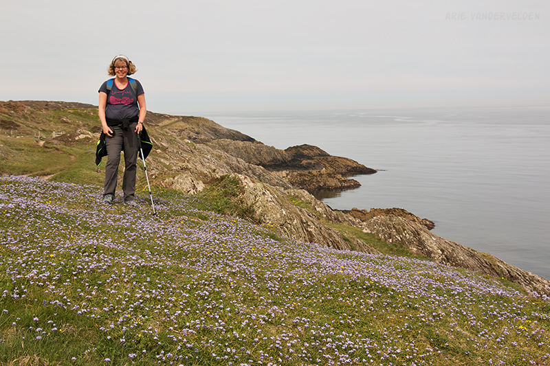
The brick factory is set in a pretty bay of Porth Wen, and the fields around the bay were covered with bluebells. Usually bluebells flower earlier in the season, but a particularly harsh winter (culminating in “The Beast From The East”) had resulted in an unusually late spring.
On the other side of Porth Wen there was some pretty countryside.
Past Porth Wen the trail led around some more headlands to Bull Bay. There we saw a pod of porpoises just offshore, their dorsal fins slicing the water’s surface. Past Bull Bay we hiked along the road into the old mining town of Amlwch (pronounced ahm-loch with a guttural g at the end). We covered only eight miles this day, but it still took us a full day to reach our destination.
Amlwch to Benllech
In Amlwch we stayed at the Dinorben Arms pub. Their kitchen was undergoing renovations, so in the morning they sent us to the cafe across the street. It was a meeting place for locals, and we sat and watched the locals come and go as we ate our humongous Welsh breakfasts. Most conversations were in Welsh.
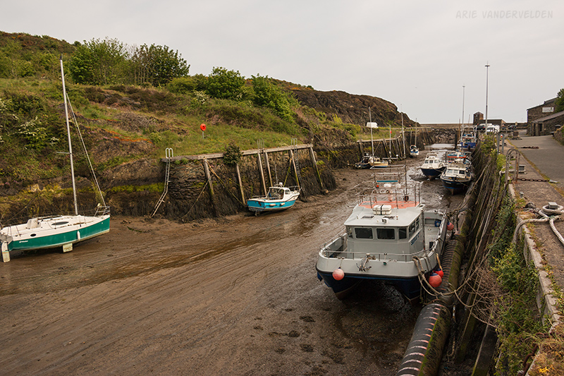
After breakfast we started out at Amlwch port.
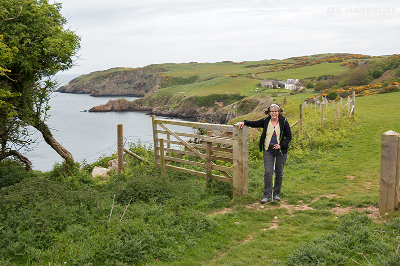
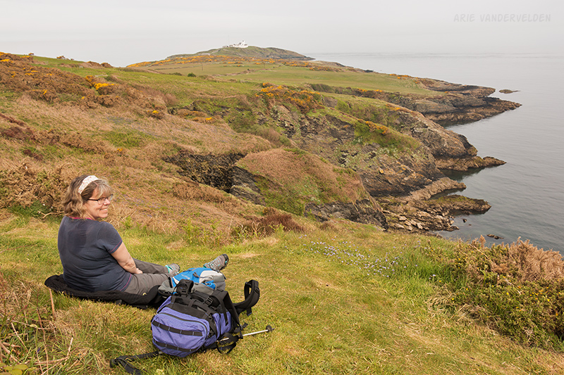
It was a cloudy, grey day with not a breath of wind. The sea was was like glass – not a ripple on it. In places we could not see the horizon and the grey sea seemed to blend with the grey sky. Up ahead was Porth Eilian lighthouse, on a promontory where the coastline changes from an east-west to a north-south heading.
We enjoyed the pretty scenery at Porth Eilian.
Beyond Porth Eilian the trail climbed up a tall hill. We stopped for a snack, and we spotted more porpoises offshore.
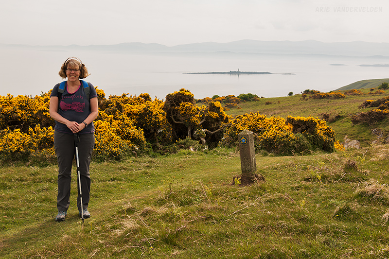
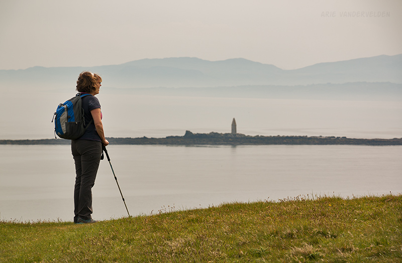
We were now heading in a southerly direction, and the Snowdonia Mountains on the Welsh mainland now formed a backdrop to the scenery.
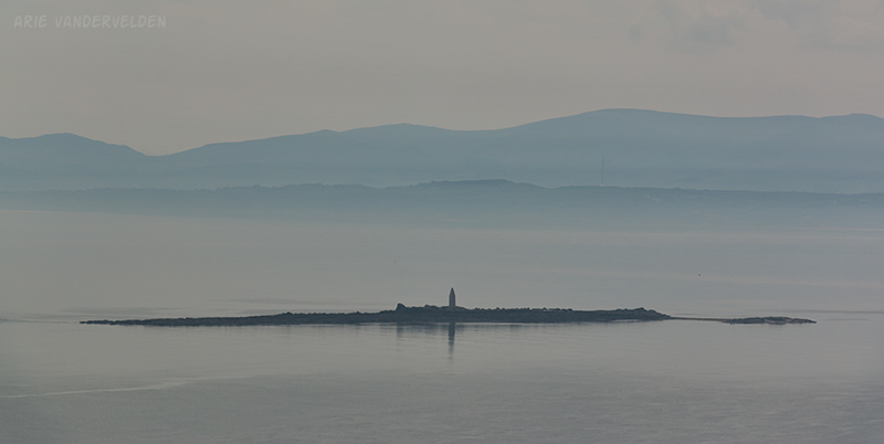
In the distance was a skerry with a light beacon on it.
We stopped to take in the views.
Ahead the trail dropped down into a valley and then climbed back out. When climbing back up we missed a turnoff and got stuck on the wrong side of a fence. We eventually found the trail again. We crossed some pastures filled with cows. As we passed one animal I noticed that it was quite a bit bigger than the other cows, and then I saw it was not a cow but a bull. Thankfully it seemed focused on grazing and wasn’t bothered by us.
The trail then went inland onto an estate where pheasants were bred. They were everywhere. It reminded me of the children’s book “Danny the Champion of the World” by Roald Dahl.
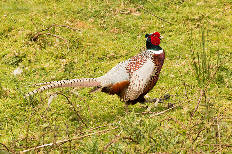
We found some pheasant tailfeathers and stuck them in the sidepockets of our daypacks. We had them for the remainder of our trip.
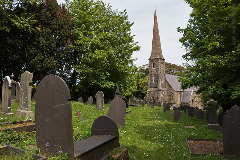
The trail now followed some country roads that led past a pretty little church of Llangwenllwyfo.
From here the trail led to an estuary that cut deeply inland. We detoured around it, and eventually made our way back to the coast.
The next bit of coastline had some pretty beaches.
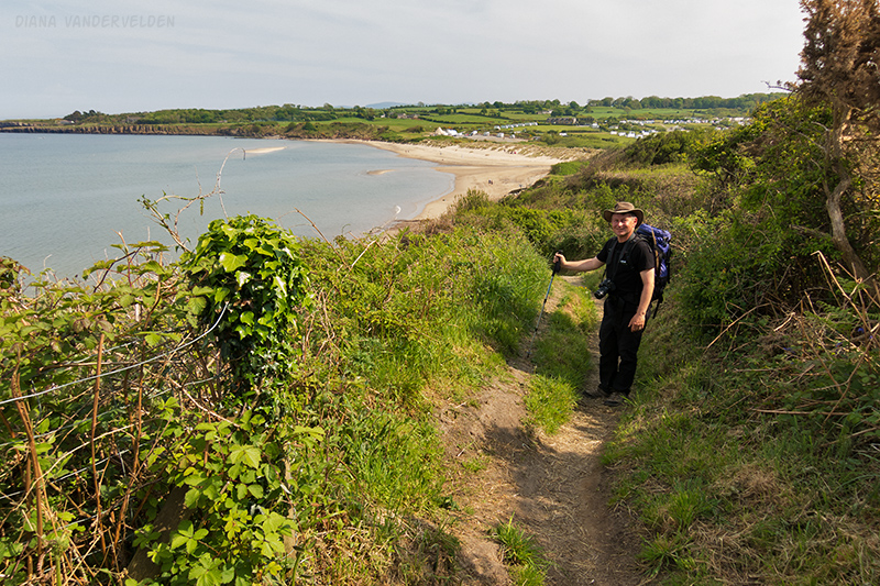
The path then turned east toward Moelfre (pronounced moyl-vray), a pretty fishing village. Moelfre is 12 miles from Amlwch and most hikers call it a day here. We pressed on for another three miles to Benllech. Our feet were very sore when we got there.
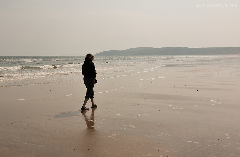
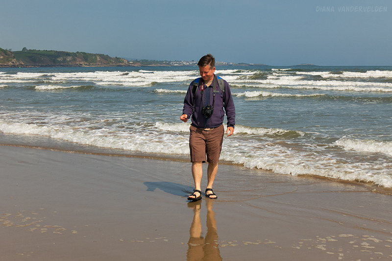
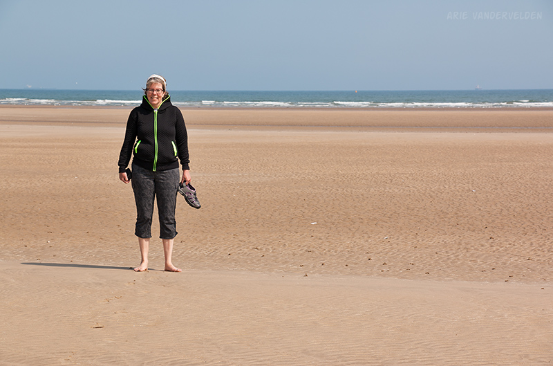
We spent a day recovering in Benllech. Benllech has a beach that almost disappears at high tide, but at low tide the sand goes on for miles.
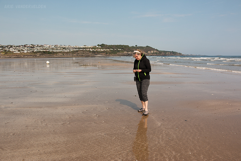
I am not exaggerating: it literally goes on for miles.
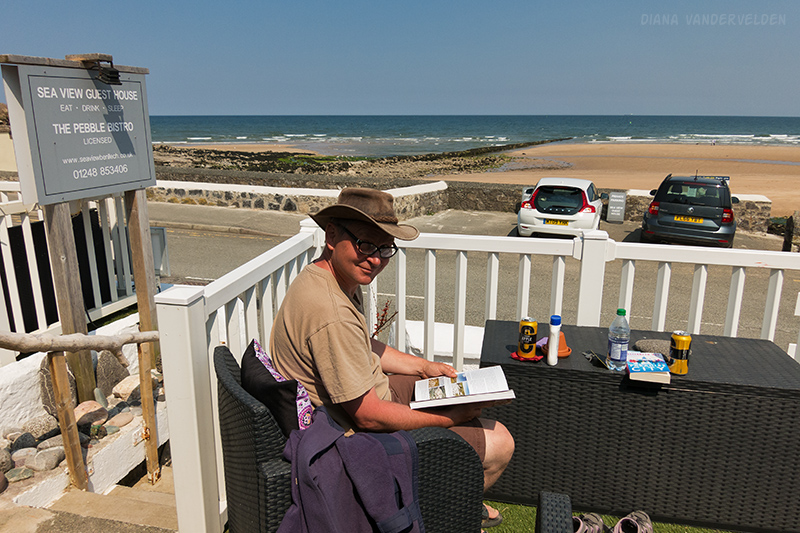
We stayed at the Sea View guesthouse, just steps from the beach. The inn had a copy of a book on the geology of Anglesey. It’s an excellent book and I spent a good chunk of the day reading it. The rocks on Anglesey are the remains of an early Paleozoic subduction complex, and the book describes many of the coastal exposures around the island.
We went for some walks on the beach and collected shells that had washed up in the surf.
We were glad to have picked Benllech for a rest day, and we enjoyed the wonderful weather. The locals told us it’s not always like this…
Logistics
I describe the logistics of hiking on Anglesey in part one of our Anglesey hike.
In Amlwch we stayed at the Dinorben Arms Pub (recommended). We ate at Rozis tandoori restaurant. This isn’t your standard British curry house; the flavours here are a cut or two above. It was simply excellent. This was a surprise in a town as small as Amlwch.
In Benllech we stayed at the Seaview guesthouse (friendly and accommodating owners, recommended).
Cemaes to Amlwch is 8 miles (12 km). Amlwch to Benllech is 15 miles (24 km).
Continue to part three of the hike.