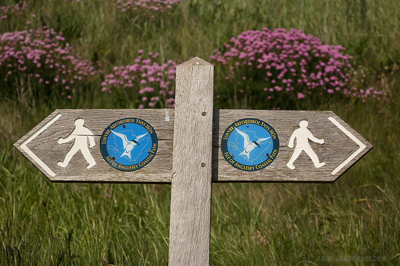
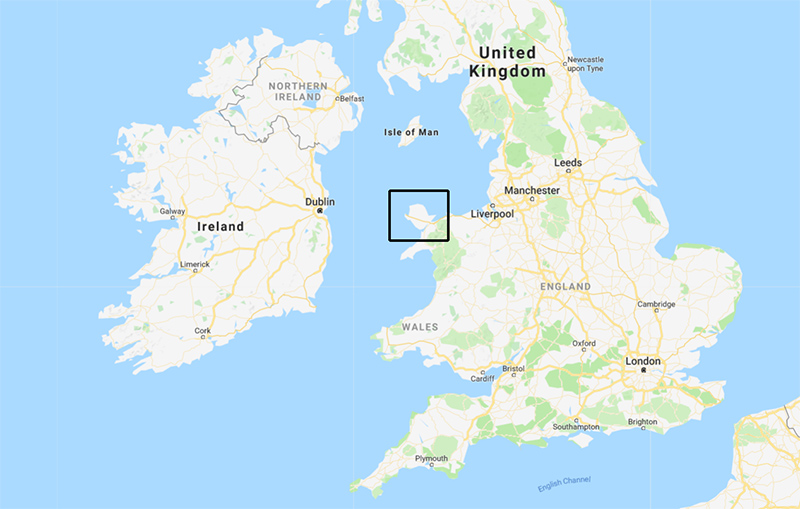
In the spring of 2018 we hiked around the Isle of Anglesey, north Wales. There is a 130 mile (210 km) coastal path that circumnavigates the island. It took us about two weeks to cover this distance. We had great weather, the scenery was outstanding, and we thoroughly enjoyed ourselves.
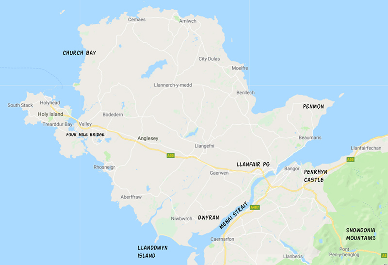
The Isle of Anglesey is separated from the Welsh mainland by Menai Strait, and a highway bridge and railway bridge connect Anglesey to the mainland. Holy Island, in turn, is separated from the Isle of Anglesey by estuaries and salt marshes that are crossed by a causeway. The Anglesey coastal path circles both islands. We began our journey at Holyhead on Holy Island.
Holyhead to Church Bay
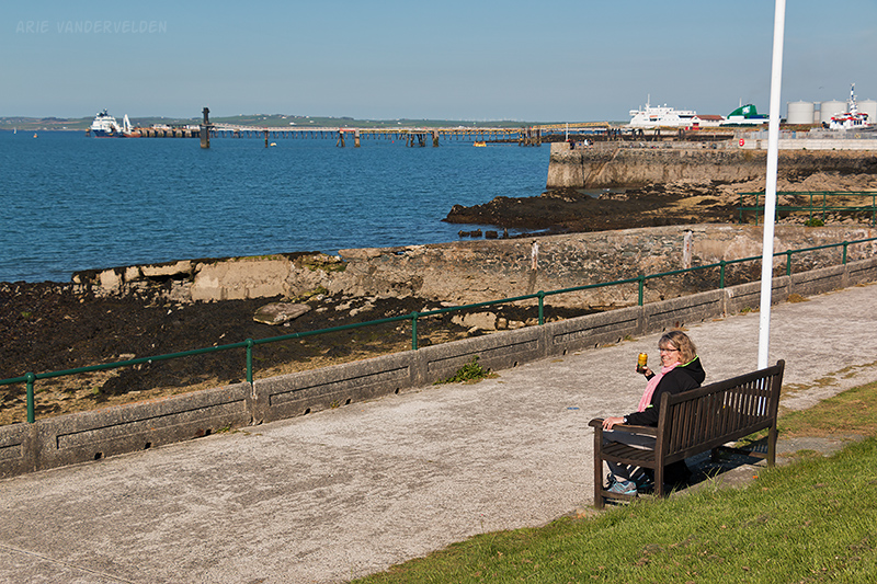
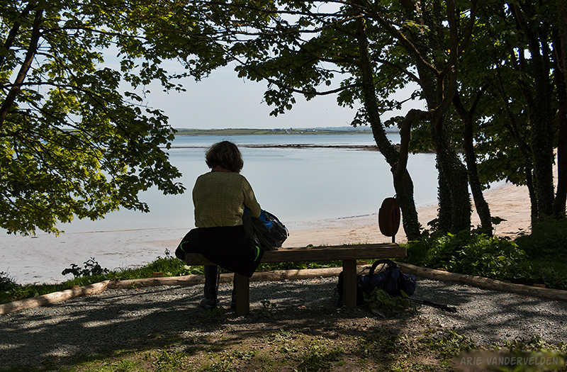
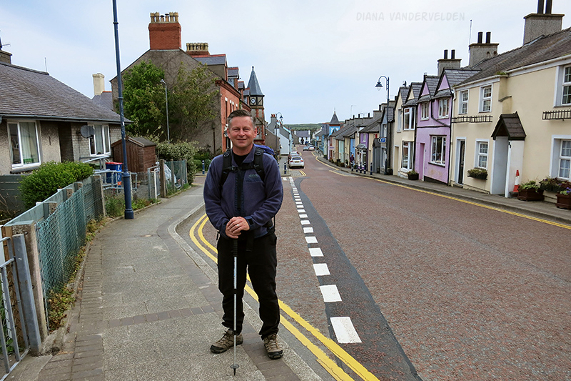
Holyhead is the main town on Anglesey. It has a port facing the Irish Sea and there are frequent ferry connections to Dublin, Ireland. The breakwater protecting the port is supposed to be the second-longest in the world (after San Diego). The town itself is situated on a hillside above the port, and it has a pleasant high street with a number of good restaurants. While walking from the train station to our B&B we met the mayor, who welcomed us to Anglesey and proceeded to talk our ears off for the next ten or fifteen minutes. It was our first taste of Anglesey hospitality and friendly, laid-back locals. Before dinner we sat down on a bench by the harbour, and we drank some cider while watching local boys jump off of a dock into the icy-cold Irish Sea.
The Anglesey coastal path starts at Saint Cybi’s church in the center of Holyhead. St. Cybi built a church here in 540 AD but it was ruined in Viking and Medieval times, and the present church dates from the 13th through 16th centuries.
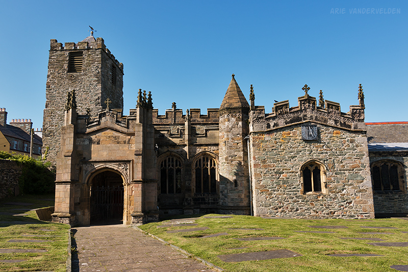
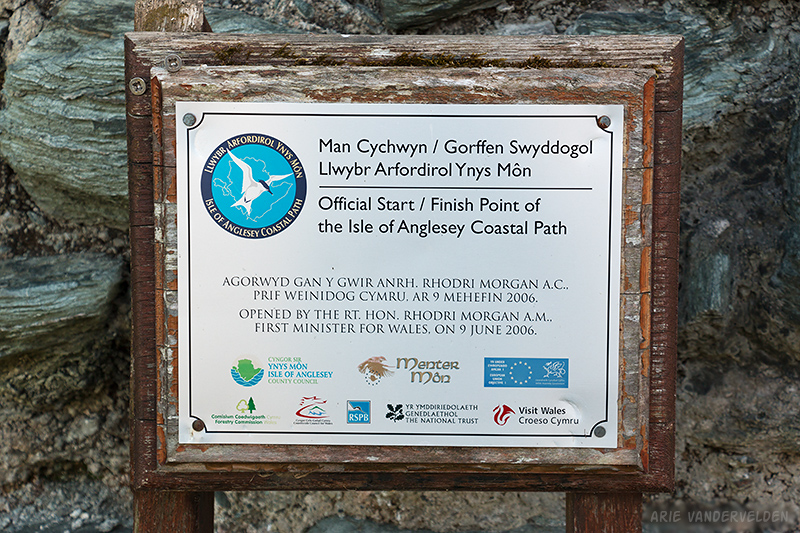
Unfortunately the gate was locked and we could not get inside. Near the church there is as plaque that marks the start/finish point of this 210 km hike.
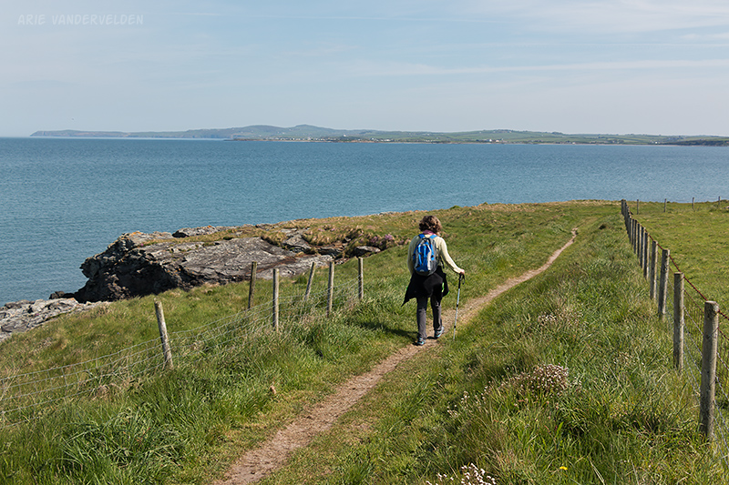
We began our journey by walking through some suburbs, and we found the coastal path on the outskirts of Holyhead. From here we could see the main Isle of Anglesey off in the distance.
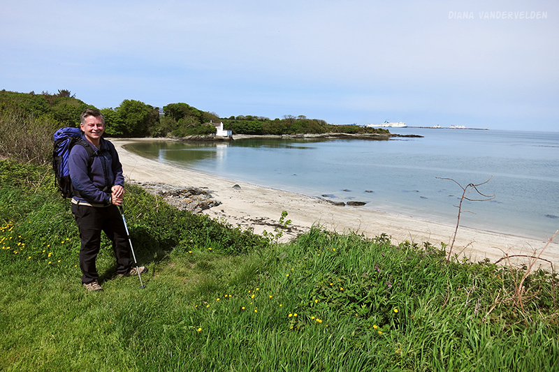
There were some pretty sandy bays in this area.
In the distance we could see the ferries come and go.
Past the sandy bays we hiked along the causeway connecting Holy Island to Anglesey. It was quite noisy walking beside the constant flow of cars and trucks headed for the port, and we were glad to be back on solid ground after the crossing. After the causeway we spent the next few hours hiking around Aber Alaw estuary. While not unpleasant, the scenery here wasn’t exactly inspiring. When we reached the coast again we could see Holyhead just across the water and it seemed like we had not come very far at all. The trail led on to a farmyard complete with barns full of stinky animals, a cesspool, a holiday trailer park, and a five-star hotel. It was a bit of a strange place.
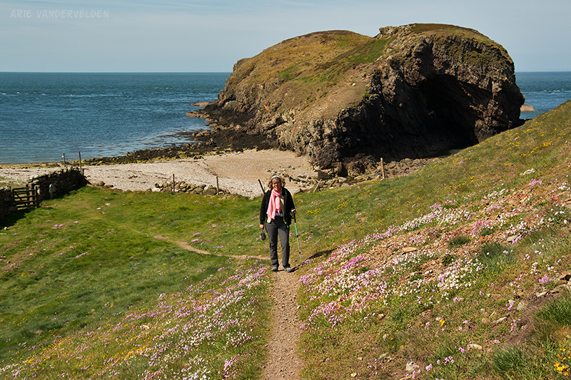
Up ahead the scenery improved. Sandy coves alternated with pretty headlands dotted with wildflowers.
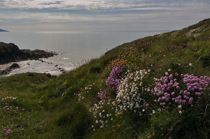
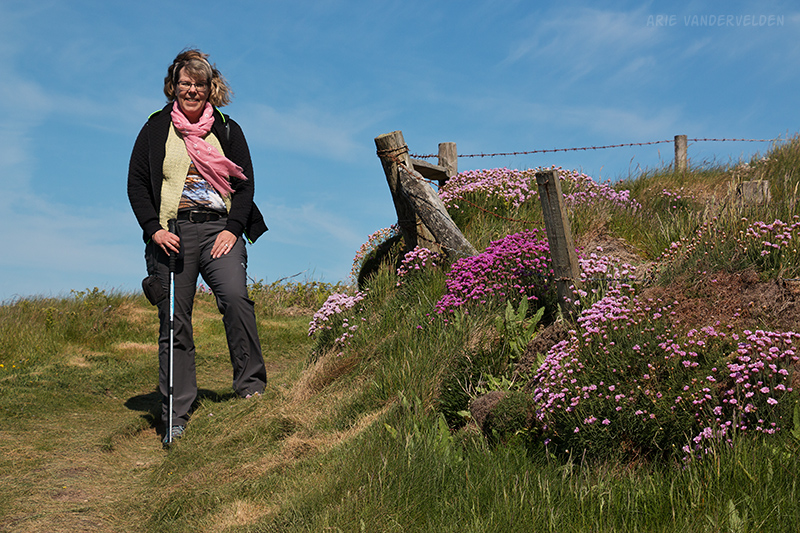
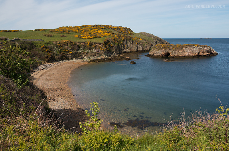
As we approached Church Bay the scenery kept on improving. The headlands increased in height, and the steeper slopes were covered in sea-pinks.
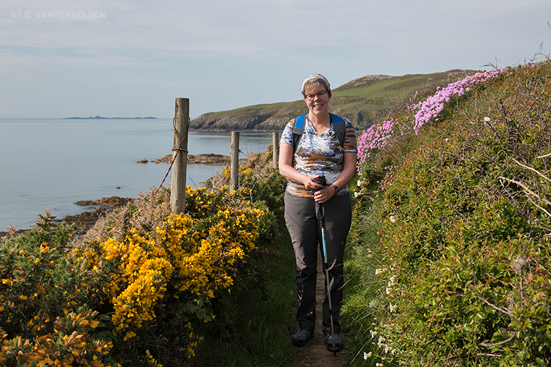
We enjoyed the pretty scenery around Church Bay.
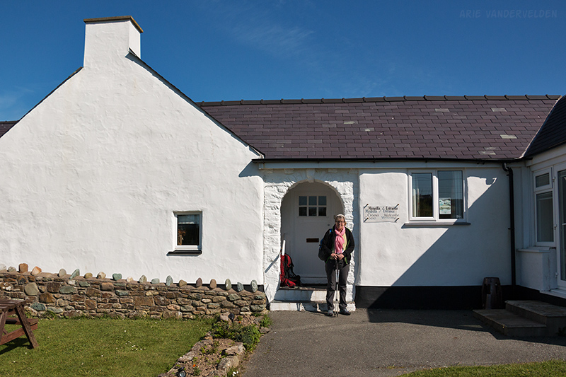
Church Bay is a little hamlet at the end of a country road. There is a tearoom, a museum, a few cottages, and a restaurant called the Lobster Pot. The Lobster Pot has a loft apartment above the restaurant which they rent out though airbnb. It was a really nice little apartment with a quirky layout. The best sea views were from the toilet when craning your head back 180 degrees! Anyways, that night Diana treated me to a steak-and-lobster dinner. Yum!
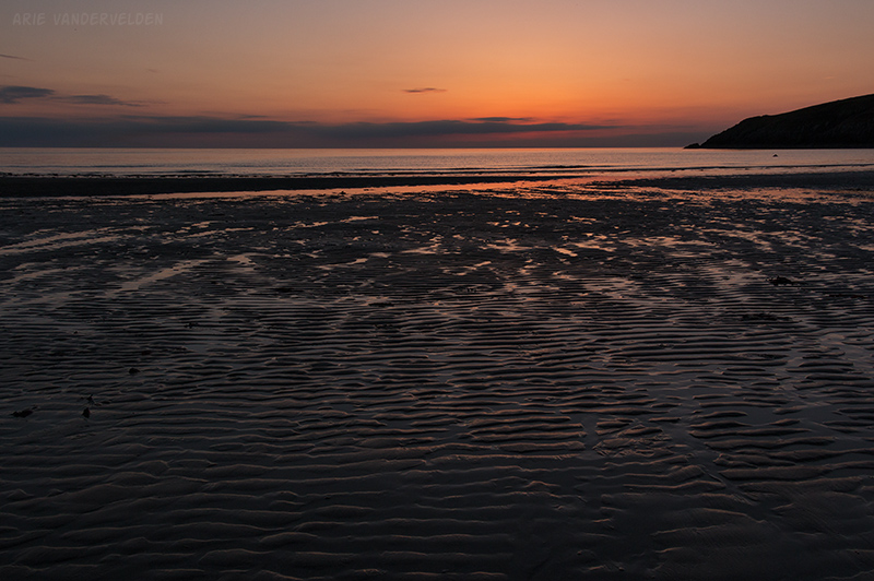
At sunset I went down to the beach for a few sunset photos. I felt lucky to have such great weather so far.
Church Bay to Cemaes
The next day had fine weather as well, but it was breezy.
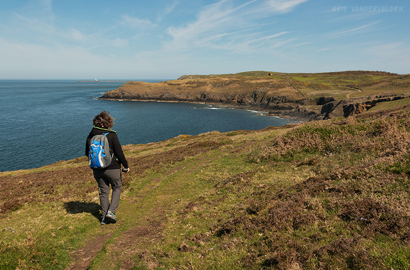
This part of the trail did not have any sandy coves, but the views from the clifftops were fantastic.
At one point an electric fence blocked the trail. We managed to do the limbo underneath it without getting zapped. At a valley called Ynys y Fydlyn the trail narrowed and led across some steep sideslopes.
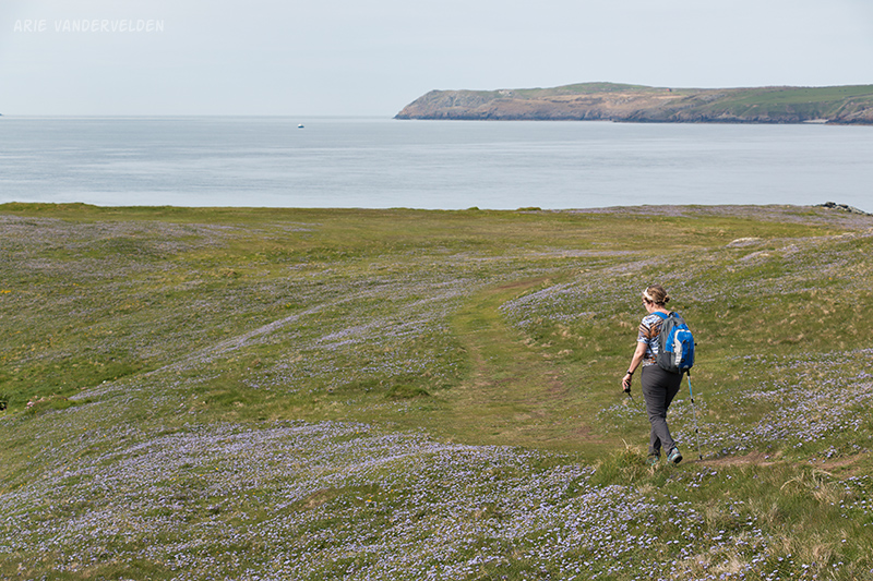
Past the narrow section the trail led onto wide-open grassy fields. Here we rounded Carmel Head, where the coastline changes from a north-south to an east-west heading. We had no trouble navigating the grassy fields but this would be an easy place to get lost if you’re hiking in dense fog.
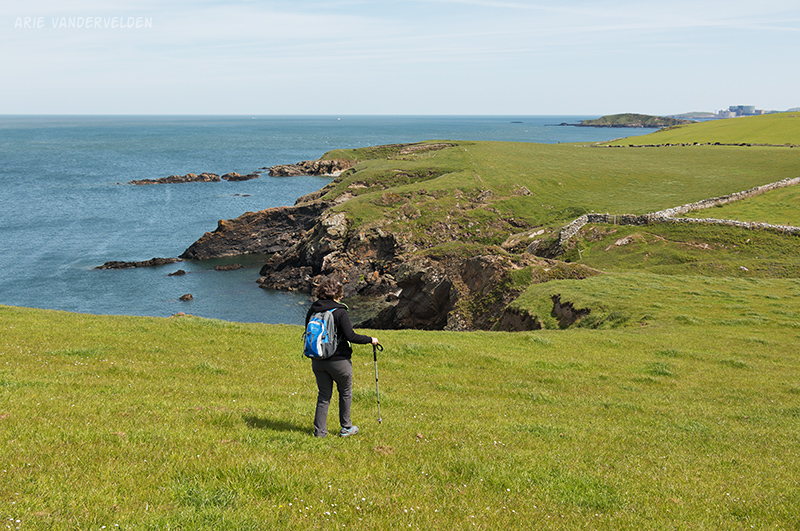
At a dip we noticed a spur trail going down to a pebbly cove, and we had a snooze on the beach.
In the previous photo you can see a large structure in the distance. We figured it to be a factory of some sorts, but as we got closer it was clear that this was an electrical power plant. As we learned later it’s a nuclear power plant. The coastal path circles around the west side of the plant, and then goes a short distance up the access road where there is supposed to be a turn into the forest. Well, there was no signpost, everything was new and bulldozed over and fenced off, and before we knew it we were walking through the nuclear power plant. There was no one around and it was eerily quiet – only the big powerlines hummed overhead. Unfortunately I did not document this bizarre experience with pictures.
We walked up the power plant’s back service road, and then decided to try a small unmarked trail heading off into the forest. It eventually connected to the coastal path and we found our way to the town of Cemaes (pronounced keh-miss) where we stayed the night. That evening I noticed my neck had a bit of a sunburn on it. Did I miss it with the sunscreen, or did I get a little too close to the dumpster behind the powerplant? We deliberated this over a pint.
Logistics
The Isle of Anglesey is in northern Wales. Holyhead and Bangor have good train connections all over the UK. Our train journey from London (Euston station) took about four hours, with a change in Chester.
To navigate the trail I downloaded and printed out a maps and trail descriptions from the Visit Anglesey website. Although I didn’t use it, there is also a guidebook available. The guidebook describes the trail in a counterclockwise direction, and this is the way most people hike. We hiked clockwise as described in the Visit Anglesey website. Hiking clockwise has the following advantages:
- The first day around the Aber Alaw estuary is somewhat ho-hum, whereas the last day around South Stack is spectacular. So by hiking clockwise you end the trip with a bang.
- We liked hiking the rocky headlands around the north coast first, and then later on we relaxed at the beaches of Llanddwyn, Rhosneigr and Trearddur Bay.
Either way you can’t go wrong…
We arranged our luggage transfer through Anglesey Walking Holidays. Thanks Eurwyn for the great service! Click here for more tips about arranging a walking holiday in the UK.
In Holyhead we stayed at the Holyhead Lodge. Owners Pearl and Mel are wonderful hosts, and we were received like family. At the end of our journey we stayed with them again, and Pearl bought Diana a coaster with “I walked the Anglesey Coastal Path” on it. Pearl went through some effort to find it. Also, their breakfast is the best we’ve had so far in the UK. Highly recommended.
In Church Bay we stayed at the Lobsterpot. It’s pretty much the only option in the area but it worked out really well – we recommended it. In Cemaes we stayed at the Woburn Inn Hotel (okay).
Holyhead to Church Bay is about 13 miles (21 km) and Church Bay to Cemaes is about 11 miles (18 km). We hiked the trail in the second half of May 2018.
Continue to part two of the hike.