This is part three of our Anglesey hike. Here are parts one and two.
Benllech to Penmon
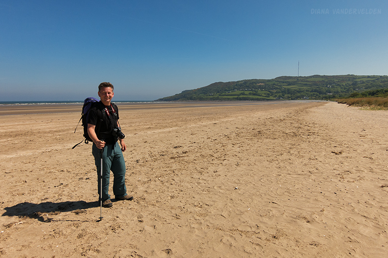
After spending a rest day at Benllech it was time to move on. Low tide was in the morning and we probably could have followed the surf line all the way across Benllech beach / Red Wharf Bay. However in the middle of this jaunt we’d be more than a mile from shore. We’re not familiar with the tides here so we chose to play it safe by following the coastal path and going around the estuary. The following picture shows just how far the tide goes out.
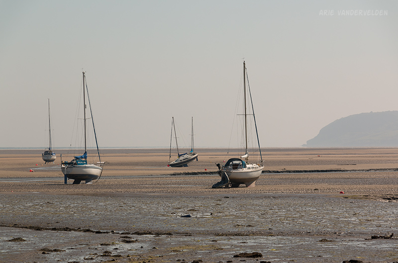
Looking across Red Wharf Bay to the south side.
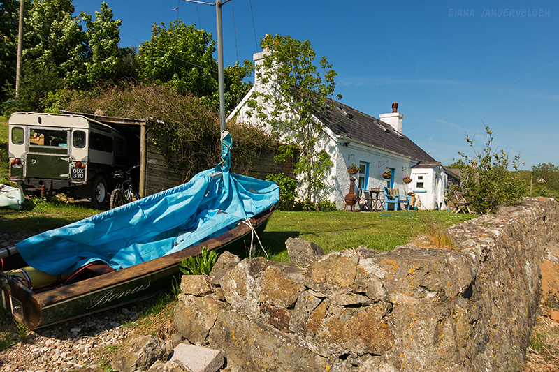
Facing the estuary were some cozy cottages.
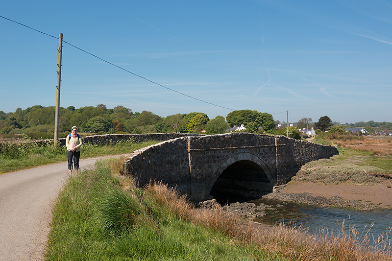
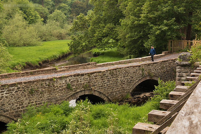
There was a pretty stone bridge at the head of the estuary.
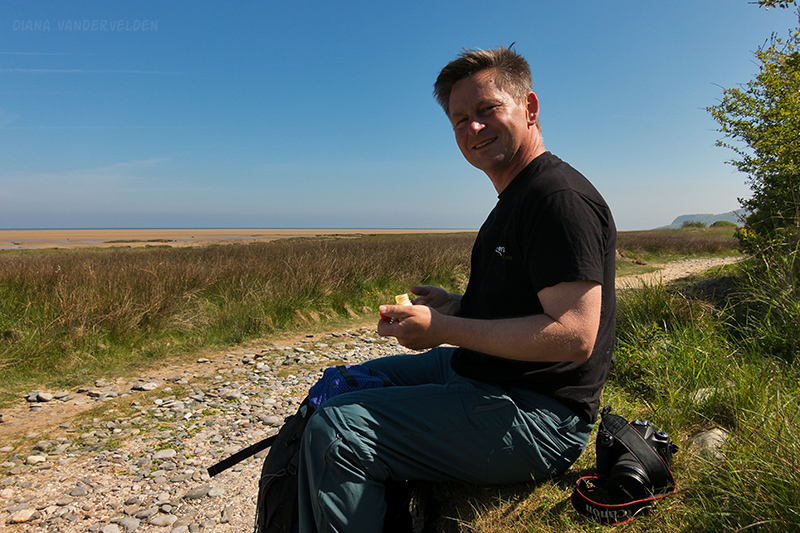
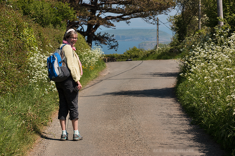
It was a nice sunny day. We stopped to put on sunscreen.
Shortly beyond the trail followed the top of a stone retaining wall for quite a long ways. Past here we chose the tidal option.
Which took us out onto Llanddona beach.
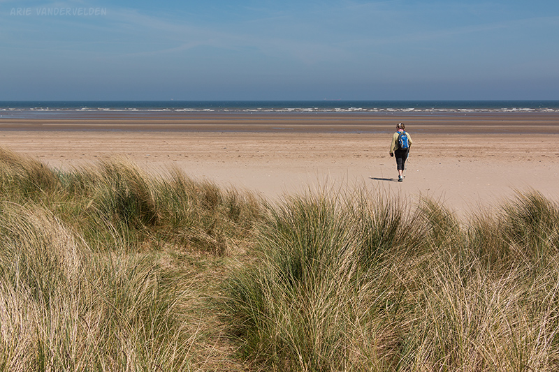
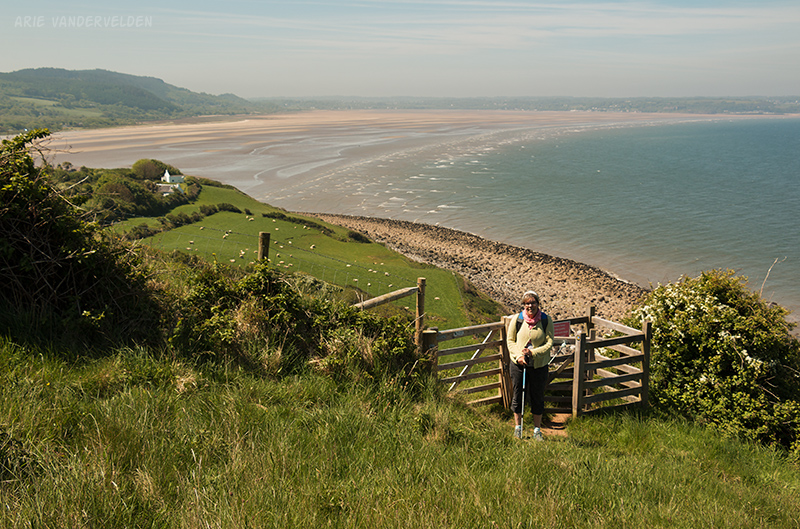
Ahead, the beach came to an end at a tall headland. The trail led up the headland in the distance.
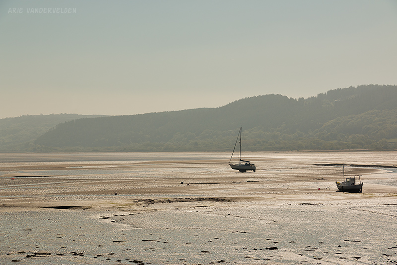
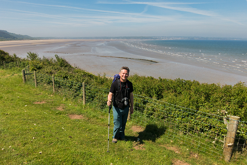
From the headland there were tremendous views back toward Red Wharf Bay, with Benllech at the far end.
Red Wharf Bay must be one of the largest sandy beaches I’ve seen anywhere.
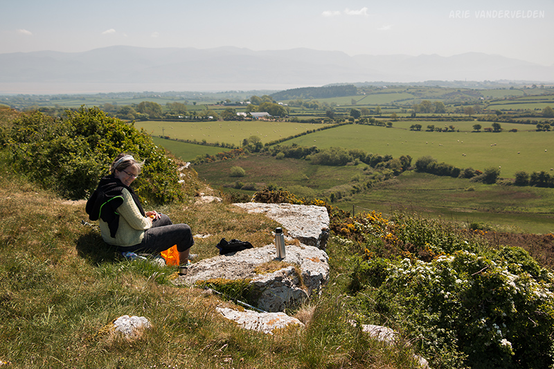
At the top of the hill is an ancient site called Bwrdd Arthur. According to our map we weren’t supposed to go to the summit, but I think the local farmer may have removed a trailsign and put up some fences to block access around the north side of the site. At the survey marker on top we stopped, had some tea and a scone, and planned the way ahead.
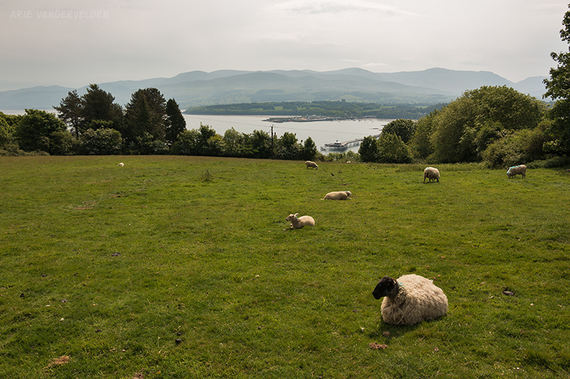
We found a country road on the south side of the hillfort that connected with the coastal path. It led across some farmfields before meeting up again with another country road.
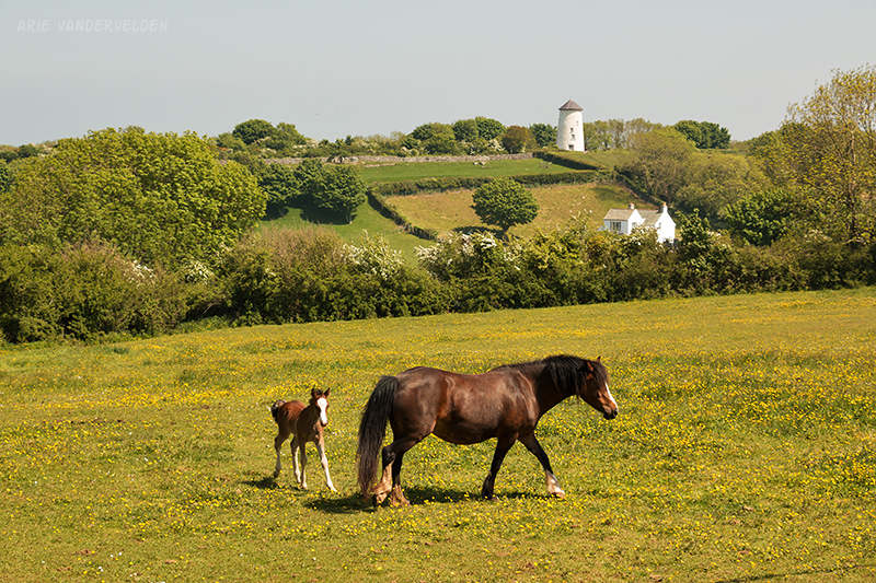
There was some pretty scenery here. There were rolling hills with ewes and lambs. Beside the road was a buttercup-dotted paddock with a mare and its foal. In the distance was the base of an old windmill.
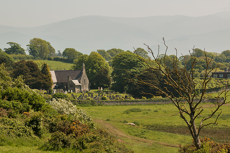
Ahead we spotted a country church in the distance. I stepped into a farmyard to get a photo, and there was an elderly lady there doing some gardening. We chatted for a while. Once again we were amazed at how friendly the locals are.
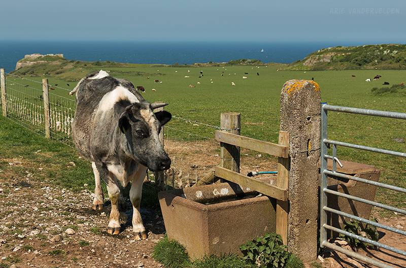
The final bit to Penmon Point led through some cow paddocks.
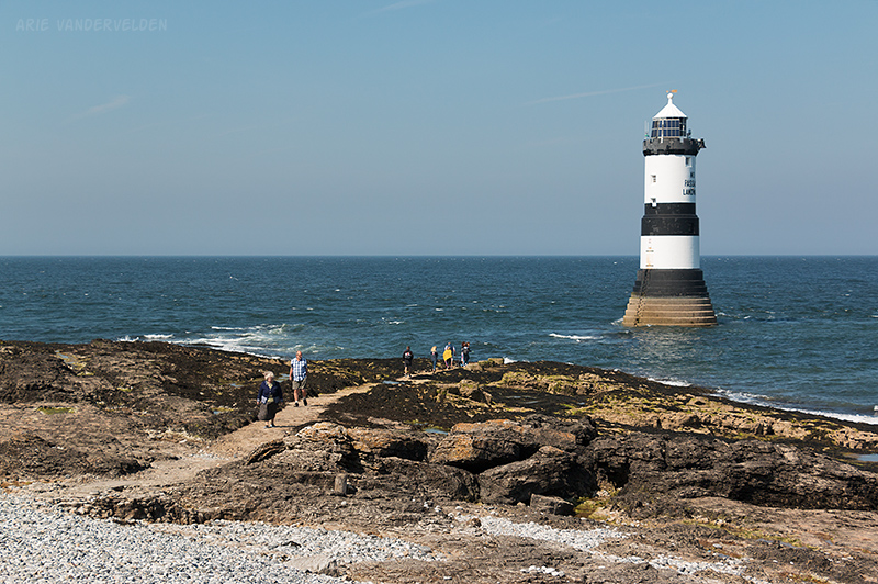
Penmon Point is the easternmost tip of Anglesey. Interestingly the lighthouse was built below the high-tide mark.
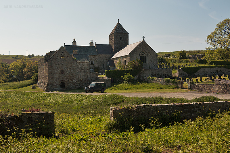
Just back from the lighthouse is a tearoom where we stopped for some cakes. Thus fortified we set off down the road, headed for our B&B. However just down the road was a church of some significance called the Penmon Priory. My research on the trail had not turned this up, so this came as a surprise. This church dates all the way back to 1140 and was built on the site where St. Seiriol is believed to have lived in the sixth century. St. Seiriol was a friend of St. Cybi (see the start of our hike at Holyhead).
We had a look around.
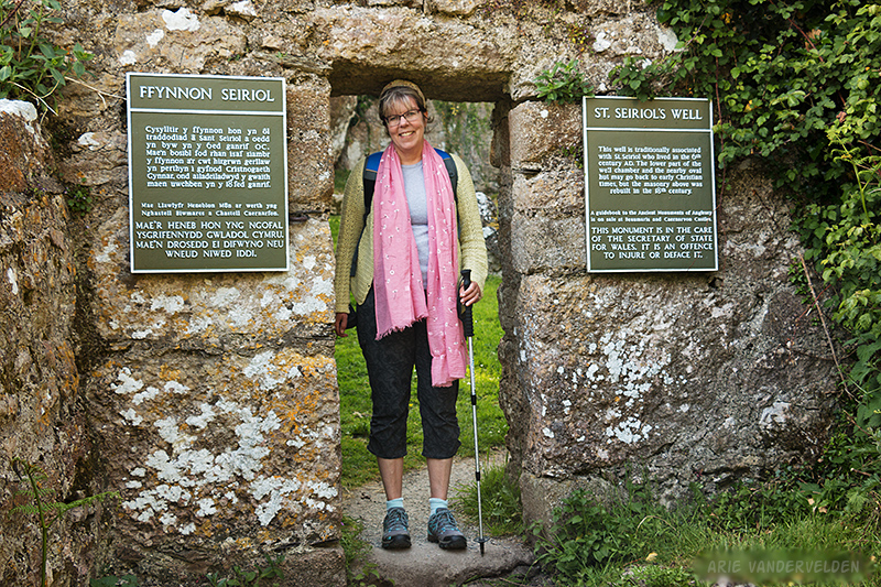
The grounds are extensive. There are ruined buildings of an old monastery, there is a huge brick dovecot dating back to about 1600, and behind the church is St. Seiriol’s well. Its waters are said to have healing powers.
My map showed a footpath leading from the priory to the B&B. However the trail I found was overgrown with nettles and led to a recently plowed field, and from there I wasn’t sure where to go. So we detoured on country roads: first to the south, then to the west, and then to the north again. We were quite tired when we reached our B&B. Owners Tony and Geraldine asked us about our plans for dinner, and I said that my map indicated a pub in the area. However they informed us the nearest place to eat was in Beaumaris, our next day’s destination. Tony took pity on us and offered to drive us to Beaumaris. Then he and Geraldine looked at each other and asked: what are we doing for dinner? So, the four of us ended up in the pub in Beaumaris. Tony is originally from Zimbabwe and he and Geraldine had some interesting stories from those days. It was a very enjoyable evening.
Penmon to Beaumaris
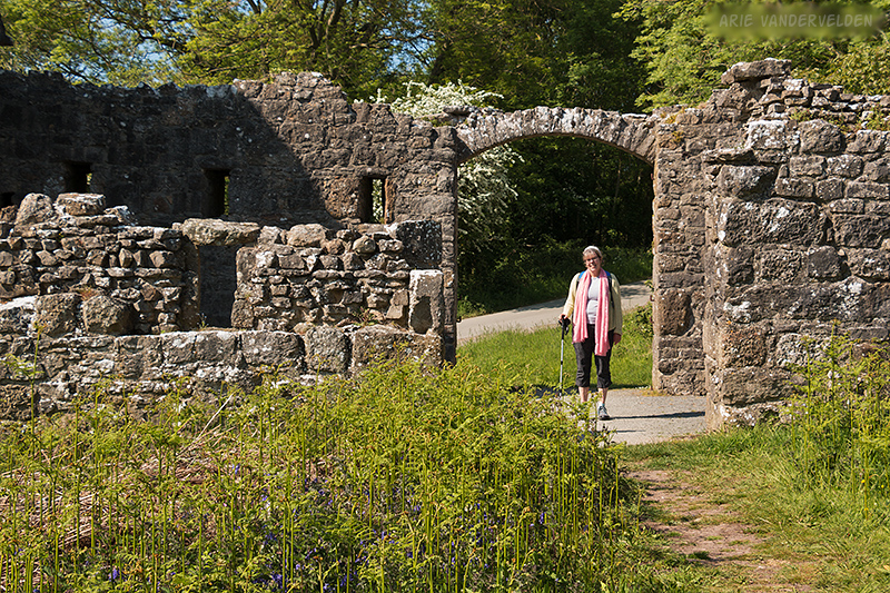
After an exhausting hike the previous day we were happy to have a short hike this day: only five miles. It was overcast with light showers. There were supposed to be some castle ruins in the forest so we followed an inland route to try and find it. Indeed, in some dense forest with tall trees we found a badly overgrown structure with one battlement still in place. From here we followed a trail to the coast.
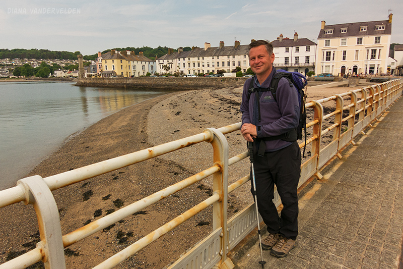
We stumbled across a stony beach until it became difficult to travel, and then we walked beside a busy road into Beaumaris. We got there early, but we were able to check in to a little self-catering apartment that we’d booked.
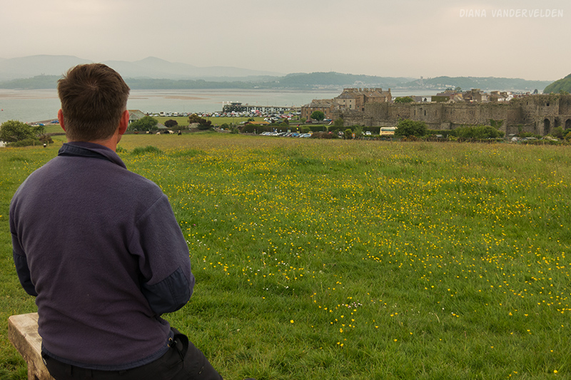
Beaumaris is a historic town with a big castle near its center. Rather than touring the castle we visited the Victorian-age gaol (jail) and courthouse. The gaol was a grim place. Many of those convicted here were sent to Australia, even for minor offenses. Afterwards we stopped by the Beaumaris bakery where we bought some really tasty Cornish pasties (meat pies) for dinner, and a very yummy loaf of bread for breakfast.
Beaumaris to Bangor
We left Beaumaris by hiking along the busy main road, and then cut up a steep hill to follow a country road up on a bench. The trail then went into some paddocks. In one paddock we encountered a bull. It took a few steps towards us, snorted, and it had a mean look in its eyes. We immediately retreated into the bushes, where we managed to scale a stone wall into another field. We circled around the bull paddock and managed to pick up the trail again.
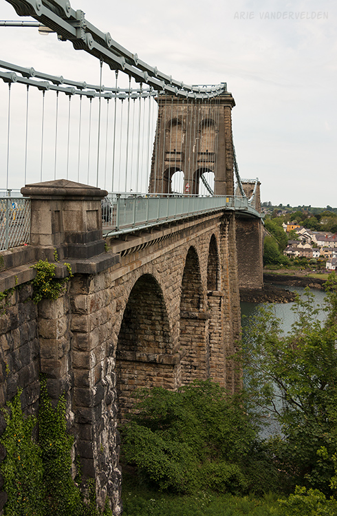
At Menai Bridge we dropped back down to the main road. We then crossed the bridge to the Welsh mainland, leaving the Isle of Anglesey. The bridge was built by Thomas Telford in 1826. It’s a masterful piece of Victorian-age engineering.
On the south side of the bridge we followed a sidewalk along the busy A5 highway. It was an unpleasant walk. However we were lucky because shortly after we checked into our guesthouse in Bangor there was a massive downpour.
Bangor is a lively university town and for this reason we took a detour away from the Isle of Anglesey. We spent two nights here, with a day for some rest and exploration. On our day off we had planned to walk to Penrhyn Castle. Google maps indicated a walking route of 1.6 miles going through the west gate of the estate. However, due to land ownership issues this access was blocked. We tried walking up a pathway that followed a pretty creek circling the estate. However there was no signage, and when we tried to turn off we ended up in an industrial area.
We went back to Bangor and this time hiked along the busy A5 highway to the village of Llandygai and the south entrance of the estate. At times the sidewalk was no more than half a meter wise, with nettles protruding from the hedges and traffic whizzing by at 60 miles per hour on the other side. It was unpleasant. Then we found out the castle access road has no footpath. In all it took us more than four hours to get to the castle.
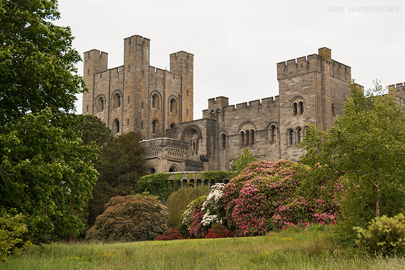
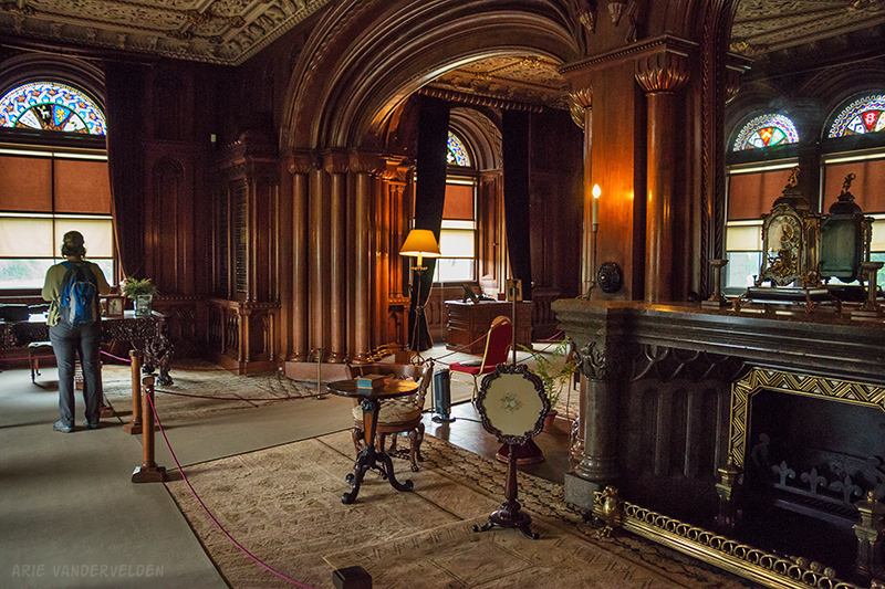
The castle was built by architect Thomas Hopper in the early 19th century for the Pennant family who had made their fortune in the Jamaican cane sugar plantations and the local slate quarries. The exterior of the house was built to resemble a Norman castle. For the interior, no expense was spared in the opulent stonework, woodwork, furniture, and other decorations. It was quite sobering to see how this family lived in ultimate luxury, with money made from slave labour. After our tour around we took the bus back to Bangor.
Logistics
In part one of our hike I describe how to organize a hike on Anglesey.
In Penmon we stayed at Gwyndaf B&B (highly recommended). In Beaumaris we stayed at Mount Pleasant Apartments (also highly recommended). In Bangor we stayed at Baytree Lodge (recommended).
Benllech to Penmon was about 11 miles (18 km). Penmon to Beaumaris was about 4.5 miles (7 km). Beaumaris to Bangor is about 7.5 miles.
We elected to detour to Bangor. For those hiking the Anglesey coastal path proper, you could walk from Penmon to Menai Bridge (9 miles) or Llanfair PG (11.5 miles) with a midday stop in Beaumaris. However Beaumaris is a pretty town with lots to see and is worth an overnight stop.
Continue to part four of the journey.