This is part five of our Newfoundland trip. Skip to part 1, part 2, part3, part 4.
Trinity
Trinity is a town on the southern shore of the Bonavista Peninsula that is very popular with tourists. It has a lot of historic buildings, and some of them are open for viewing. This open-air museum is not run by Parks Canada or the government of Newfoundland; rather, it is the local historical society that has spearheaded the effort to preserve Trinity’s past. It’s good to see locals take pride in their heritage, and the Trinity Historical Society has been very successful in their efforts.
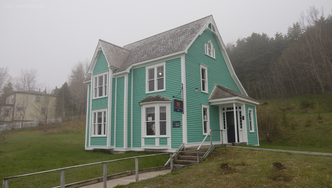
We bought our tickets at the visitor center, itself a beautiful heritage building.
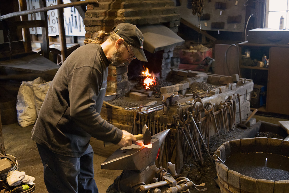
We wandered around town and visited the various sites: the mercantile, the cooperage (barrel maker), and the forge. We chatted with the backsmiths.
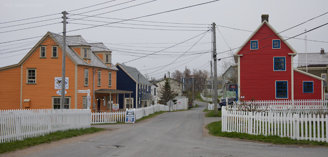
The red building on the right is part of the museum.
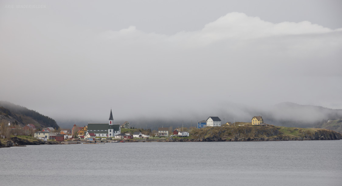
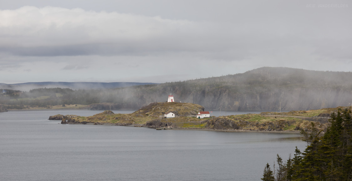
The geography of the Trinity area is quite complex. Trinity is at the head of a small headland, and is flanked by two other headlands that stick further out into the sea. The net result is that Trinity is surrounded by protected waters. The southern headland has a lighthouse on it.
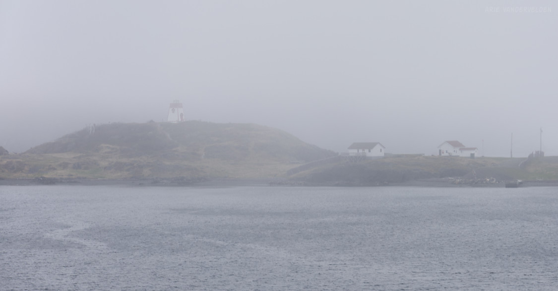
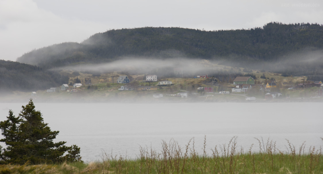
As you can see, it was yet another foggy day. Trinity is very pretty, and was used as the main filming location for the movie adaptation of E. Annie Proulx’s best-selling novel The Shipping News.
Skerwink Trail
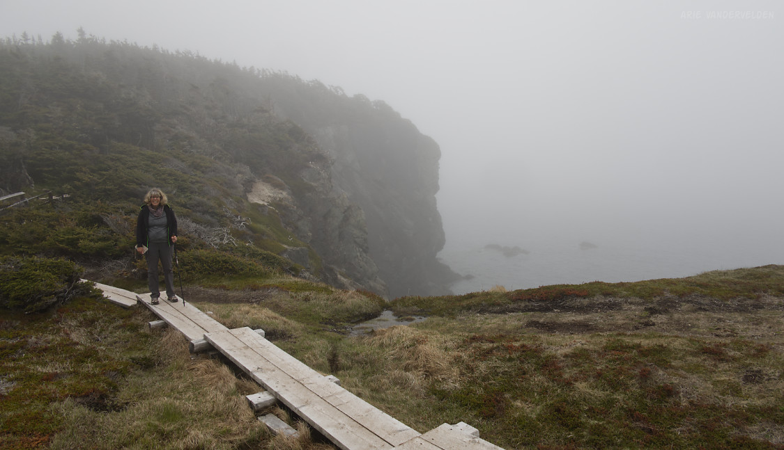
The most popular hiking trail on the Bonavista Peninsula is the Skerwink Trail. It loops around a forest-covered headland north of Trinity. We hiked it with the hope of getting scenic views back towards Trinity, but the fog was so thick we could just barely see the sea at the bottom of the cliffs.
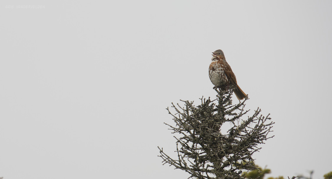
But, the birds were singing in the trees and we had a nice time. Here is a little song sparrow.
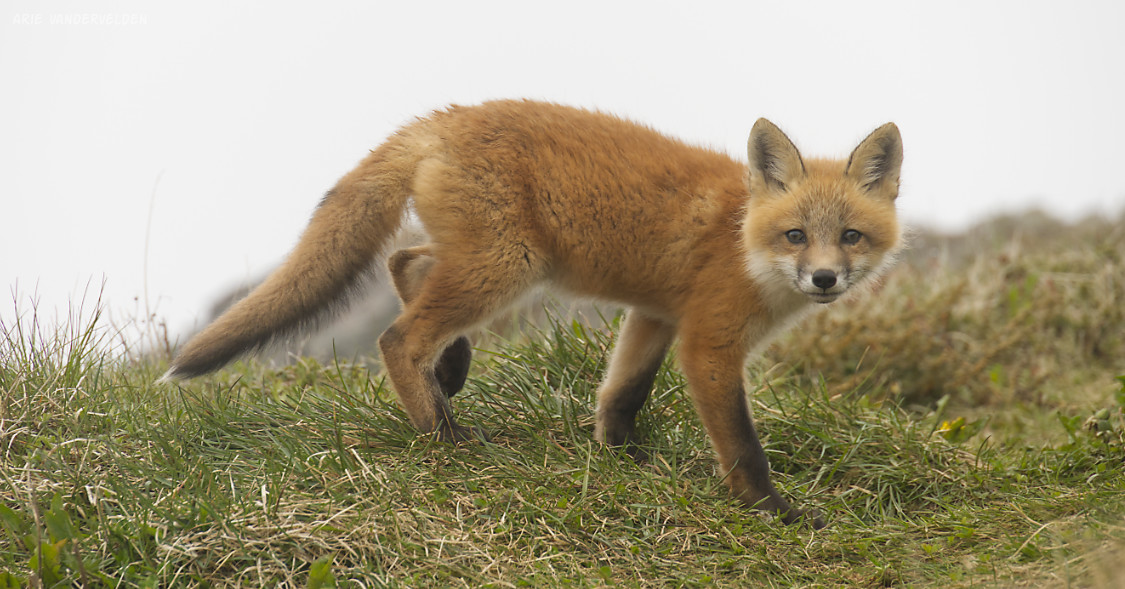
I found a red fox at the edge of a cliff, resting. Judging by its dirty paws, it had likely exhausted itself digging a hole.
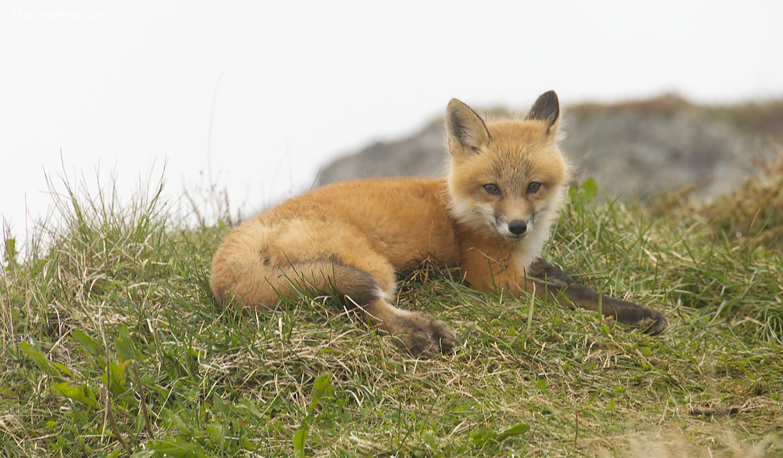
The red fox sighting was the highlight of our hike.
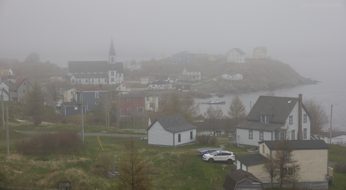
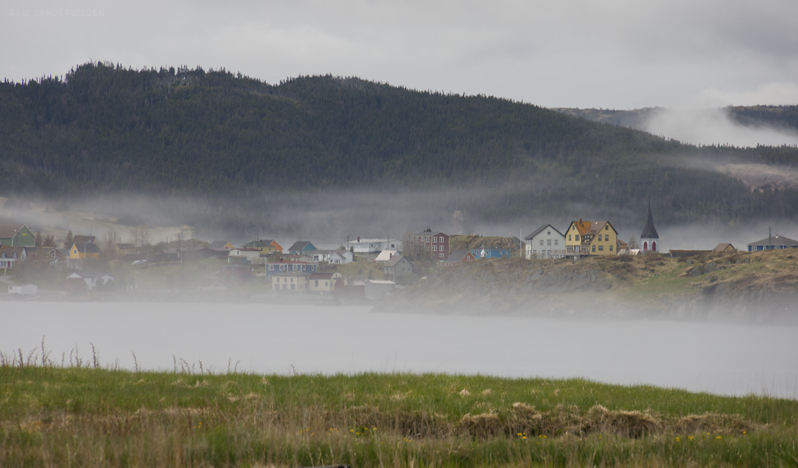
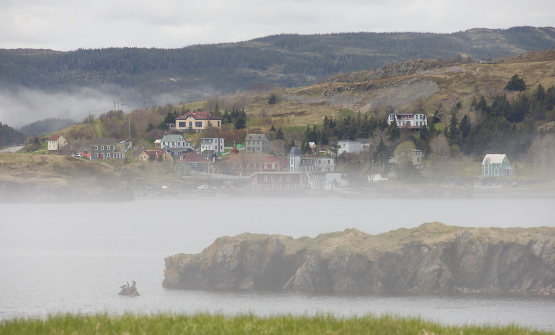
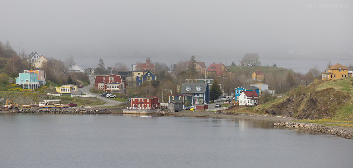
Once back in the parking lot, the fog started to lift, and the town of Trinity started to reveal itself.
Villages and Coves on the Bonavista Peninsula
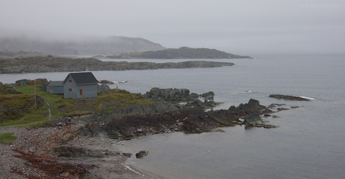
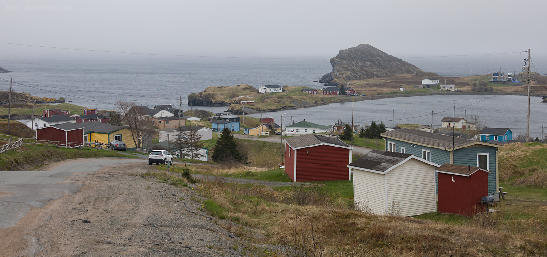
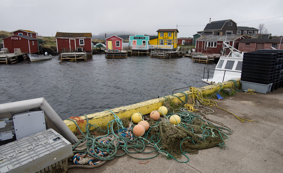
We explored some of the other villages and coves on the Bonavista Peninsula by car, mainly when it was too rainy to hike or to do other things. Some were pretty and photogenic while others were more utilitarian.
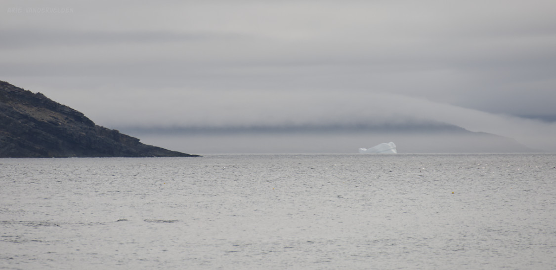
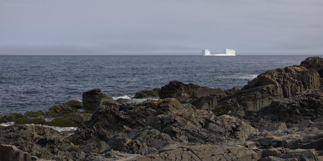
Here is a distant iceberg near Birchy Cove.
King’s Cove.
Keels.
Scenery at Keels.
Champney’s West.
Harbour, Champney’s West.
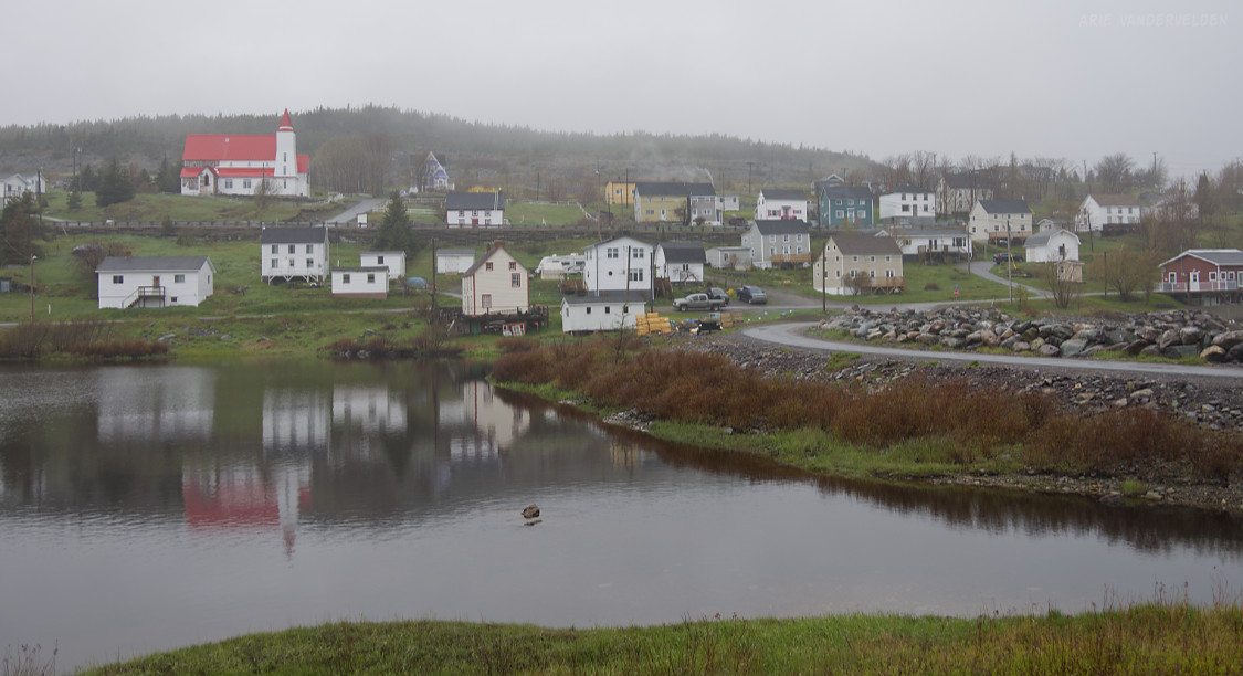
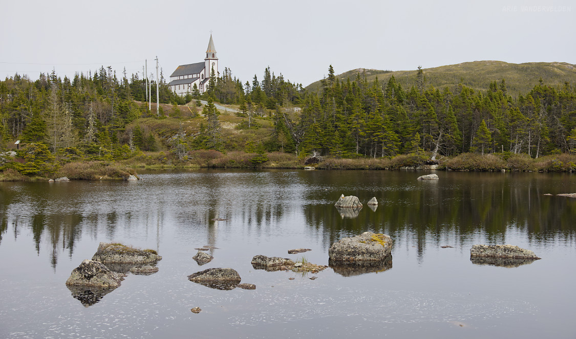
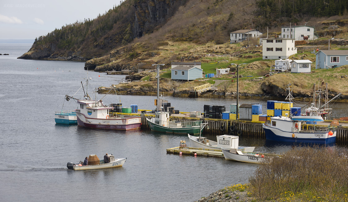
New Bonaventure area. The fog was starting to lift.

New Bonaventure church.
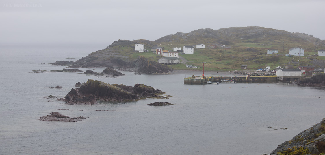
The weather continued to clear at Old Bonaventure:
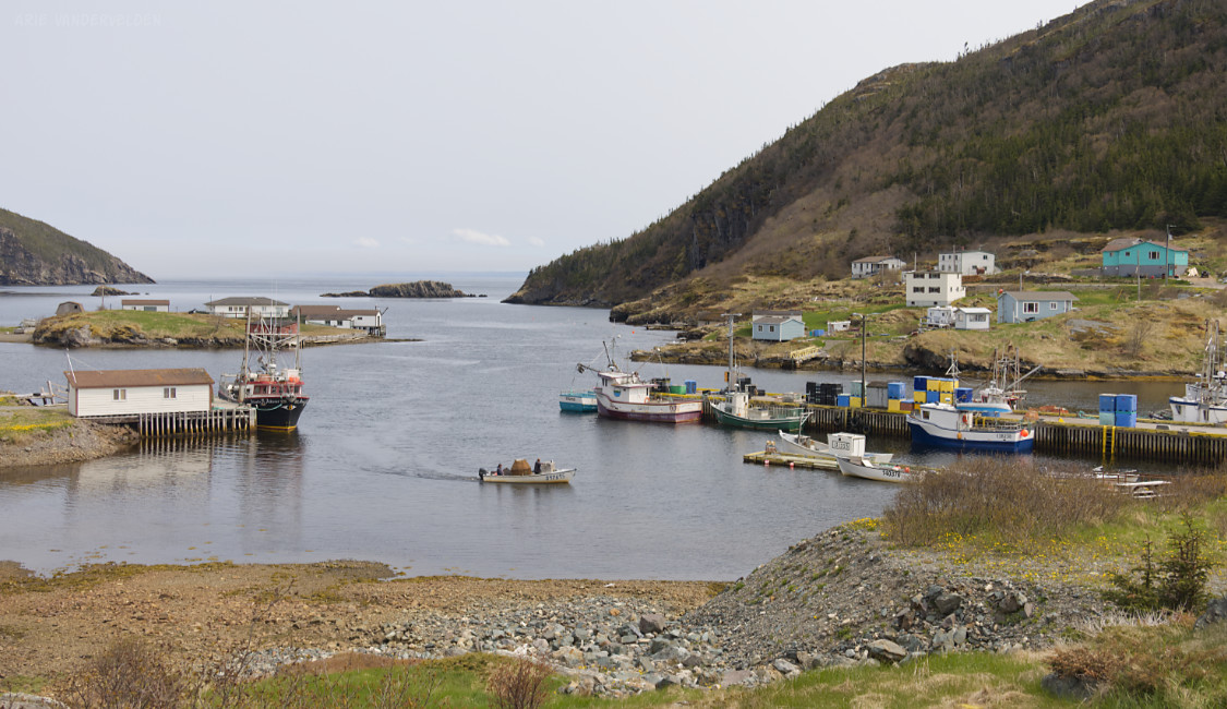
Coming into port at Old Bonaventure.
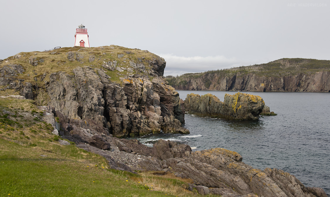
Trinity Lighthouse
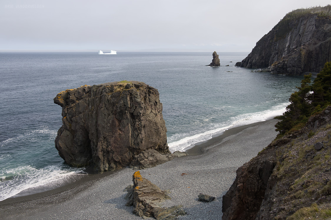
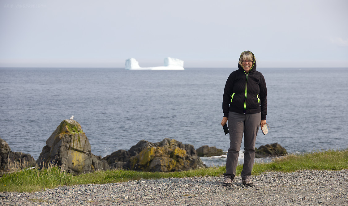
Encouraged by the clearing weather, we set off for Trinity hoping to do one more stop: Trinity lighthouse. But as soon as we drove north from New Bonaventure we were swallowed up by the fog once more. I turned off at Dunfield on a potholed road, which soon turned to rough gravel. We couldn’t see much. We almost turned around on a few occasions, but the road was too narrow to do so safely. Then, on the final approach to the lighthouse, the fog suddenly parted. We could see Trinity on our left, the lighthouse straight ahead, and on our right was a beautiful iceberg out at sea. It was another jaw-dropping wow-moment. I grabbed my camera and started snapping pictures. What a wonderful way to end this leg of our journey!
The fog is lifting. Hello Trinity.
View of Trinity.
The lighthouse was just up ahead.

And to our right was an iceberg. A really nicely shaped one, too. This iceberg was a totally unexpected sight, and a real bonus.
I think the smooth bottom part was once underneath the sea surface. I’m guessing a piece of the top broke off, and the iceberg then tilted to reveal the bit that was once under water.
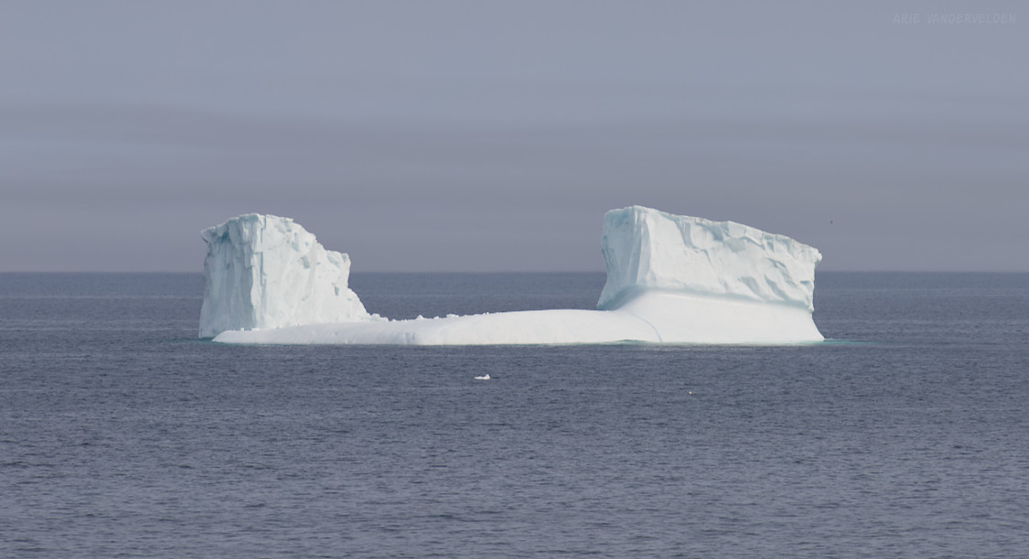
Iceberg and a dramatic coastline.