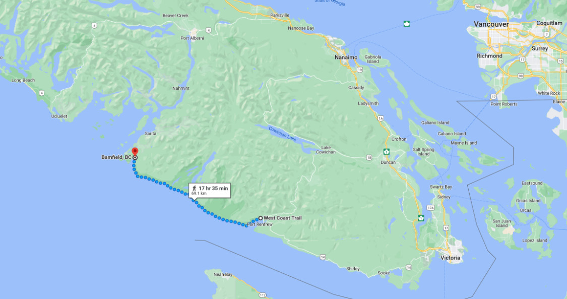
The West Coast trail is a 75 km long hiking trail in Pacific Rim national park, Vancouver Island, Canada. The main attractions along this trail are the Pacific coastline and the temperate old-growth rainforest.
We hiked this trail in June of 2009. It took us six days to hike the trail, with five nights camped out on some wonderful beaches. We had great weather, with only a bit of drizzle one morning. We were lucky because this area receives some of the highest rainfalls anywhere in the world.
The plan was hatched in hotel room in Rijswijk, the Netherlands. It was April 1, Diana’s birthday, and she bought two plane tickets to Victoria, BC. She was going to keep it a secret but told me later that day. I was really excited! A day or two later, while in Brussels, I called BC parks to secure the permit. We were all set to go!
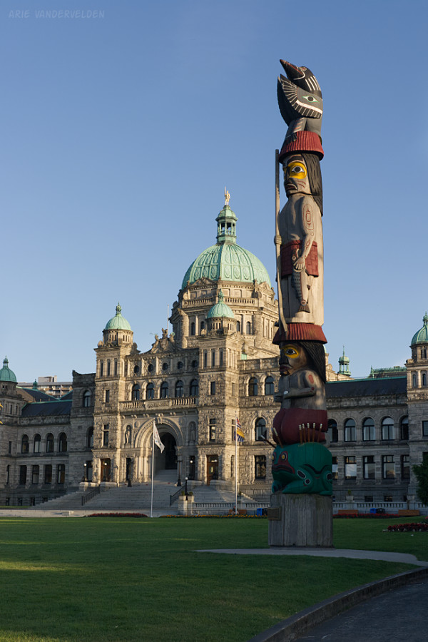
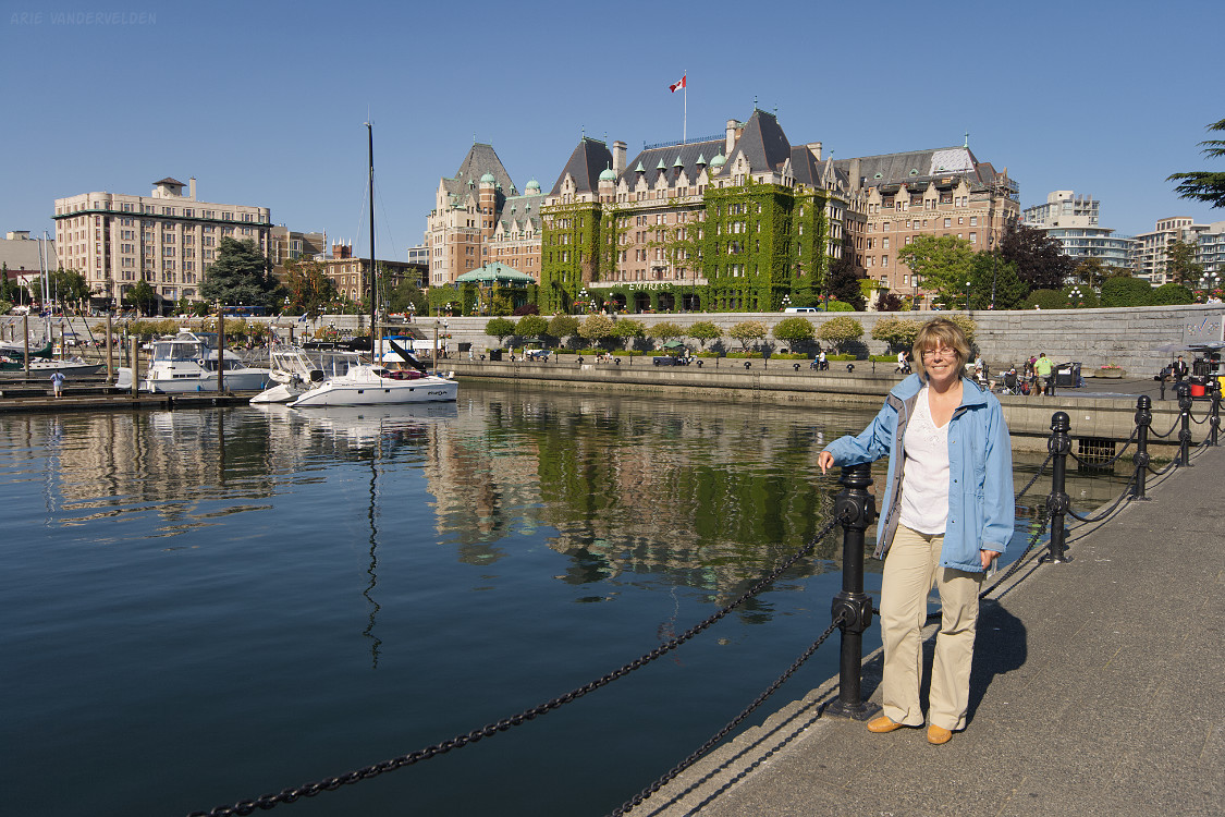
Fast-forward two and a half months, to Victoria, BC.
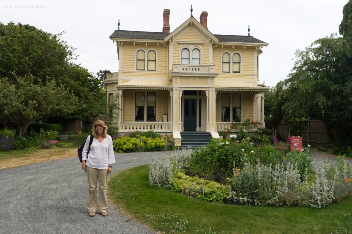
Diana at the Emily Carr house
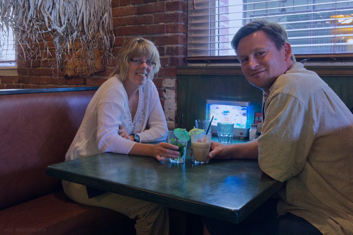
We had dinner at a place called The Reef.
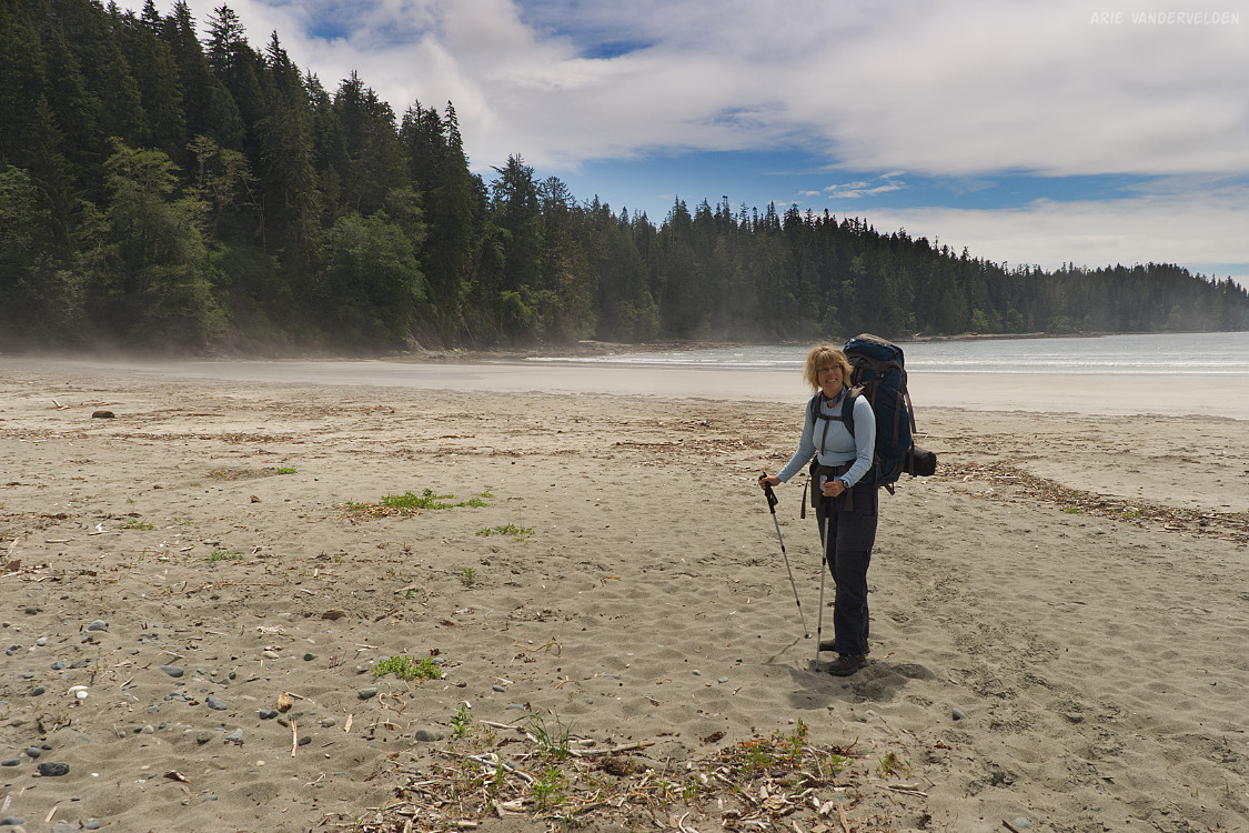
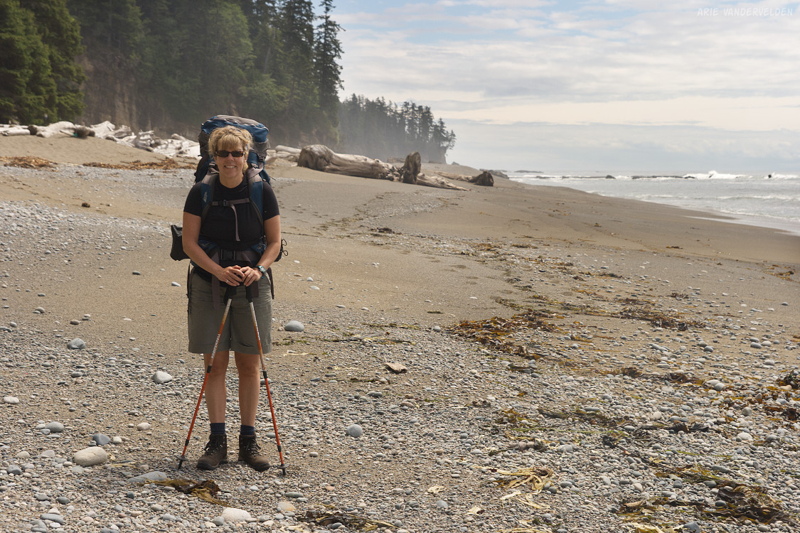
Day 1. Pachena Bay to Michigan Creek
After an early wake-up and several hours riding an old schoolbus on bumpy gravel roads, we arrived at Pachena Beach, a nice stretch of sand in a protected bay. This is where the trail starts.
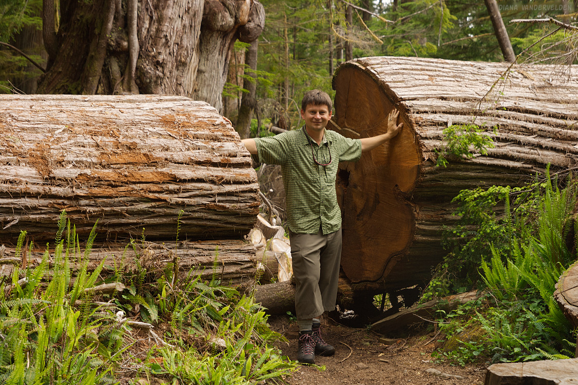
At the end of the beach the trail enters the rainforest. The cedar trees here are huge.
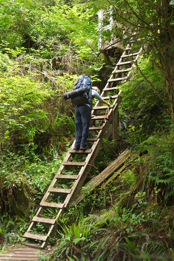
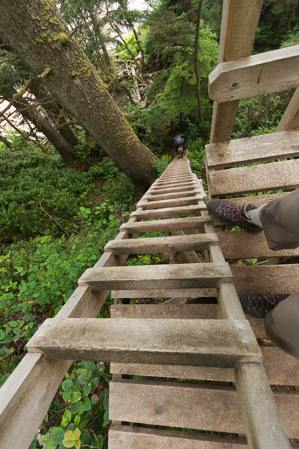
We encountered our fist ladder. It was a preview of things to come.
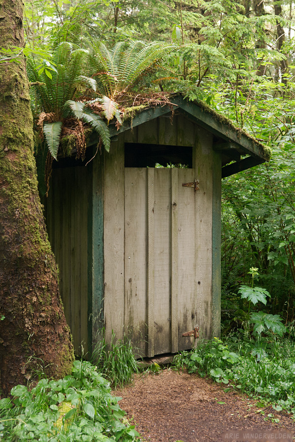
The rainforest was in the process of reclaiming this outhouse.
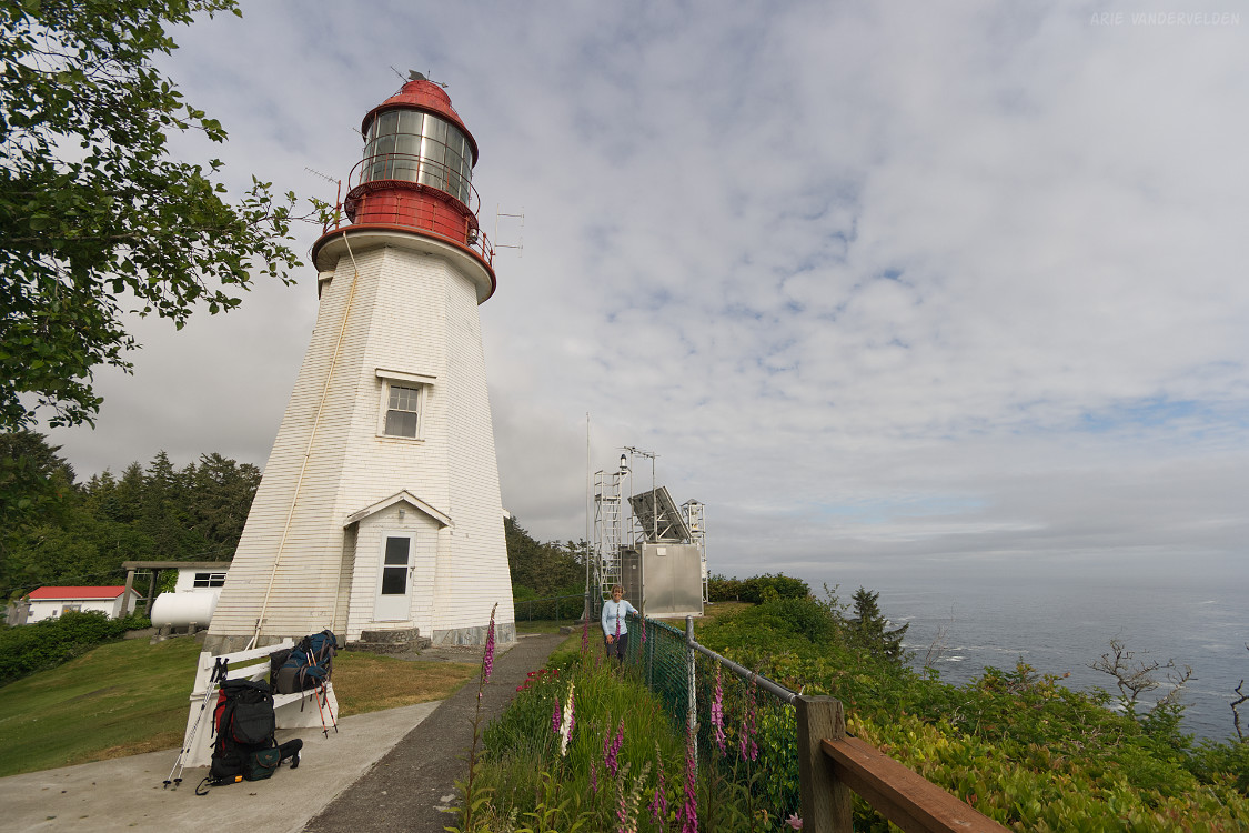
Pachena lighthouse is at the 10 km mark. The site offers some wonderful coastal views.
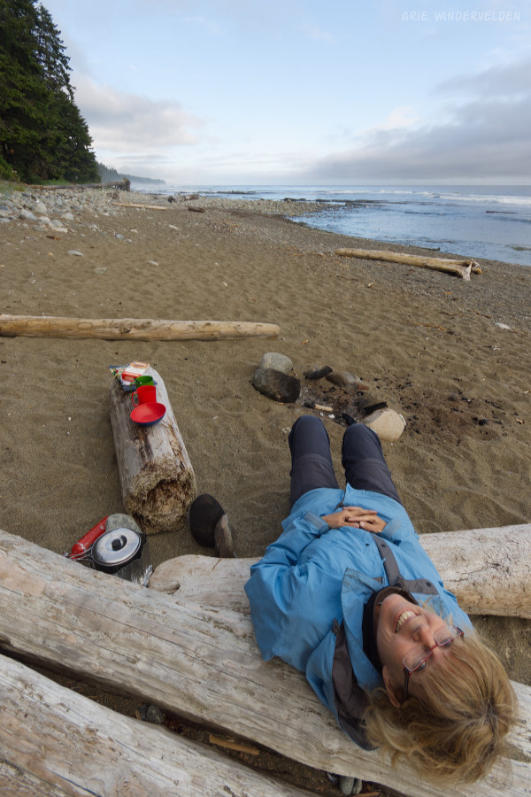
Another 2 km of hiking took us to Michigan Creek campsite. Time to take a load off.
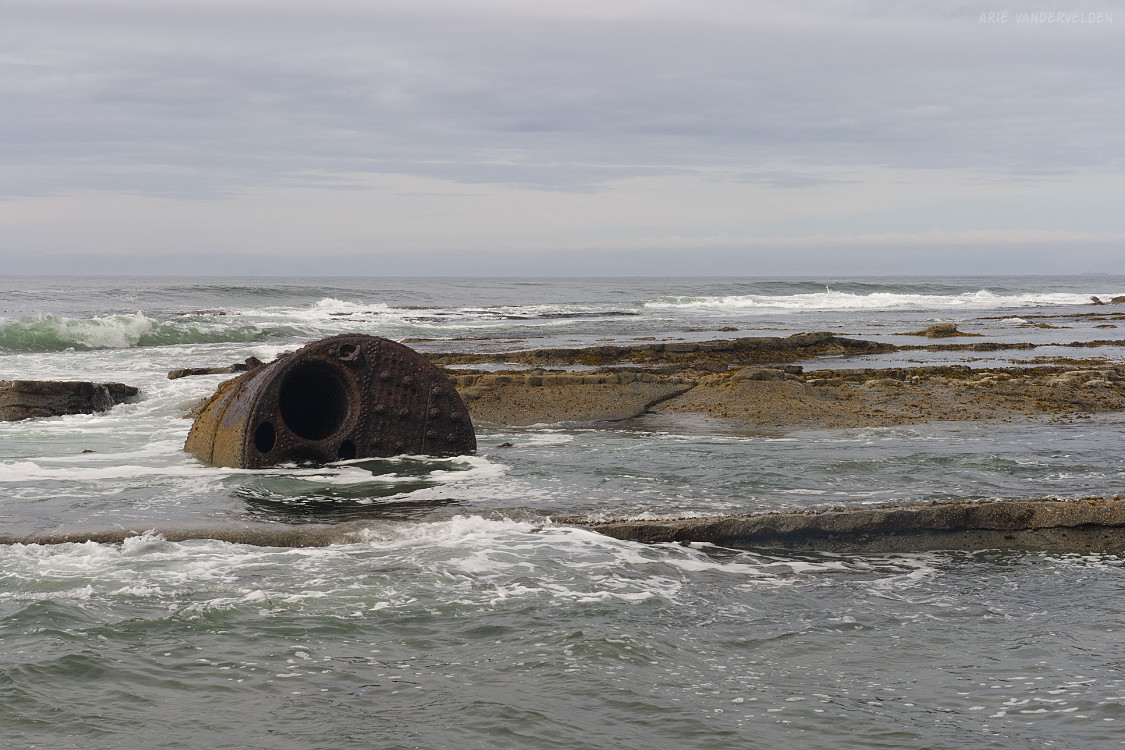
Michigan Creek is named after the Michigan, a wooden steam schooner that ran around here in 1893. Her boiler is visible at low tide.
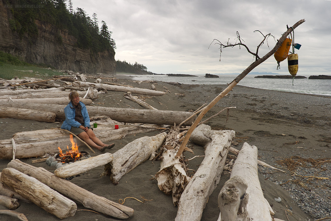
Cooking supper on the beach.
Time for a campfire.
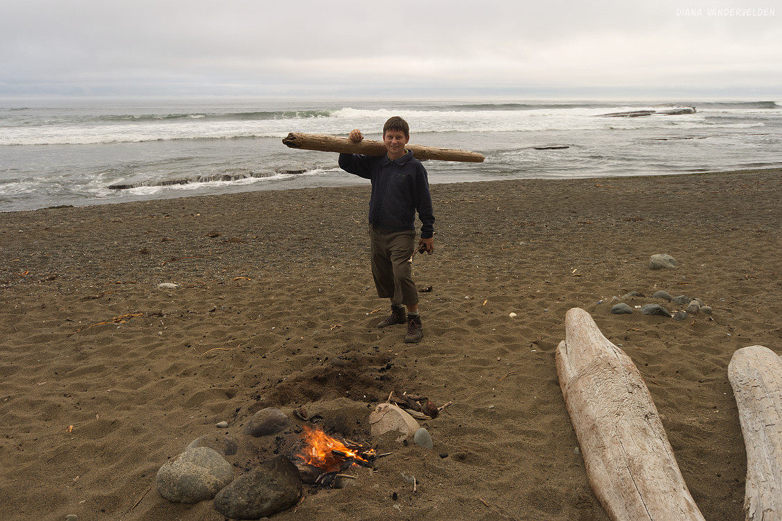
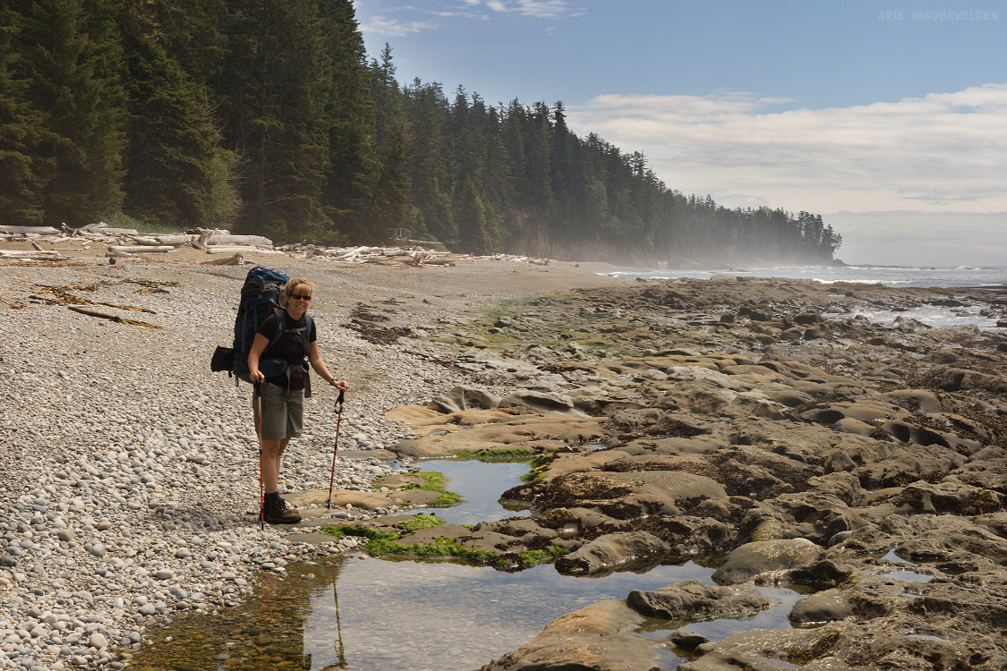
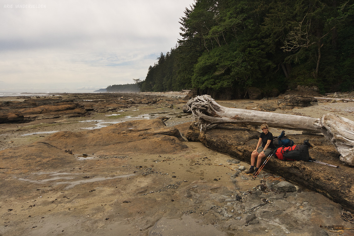
Wonderful scenery at Michigan Creek.
Day 2. Michigan Creek to Tsusiat Falls
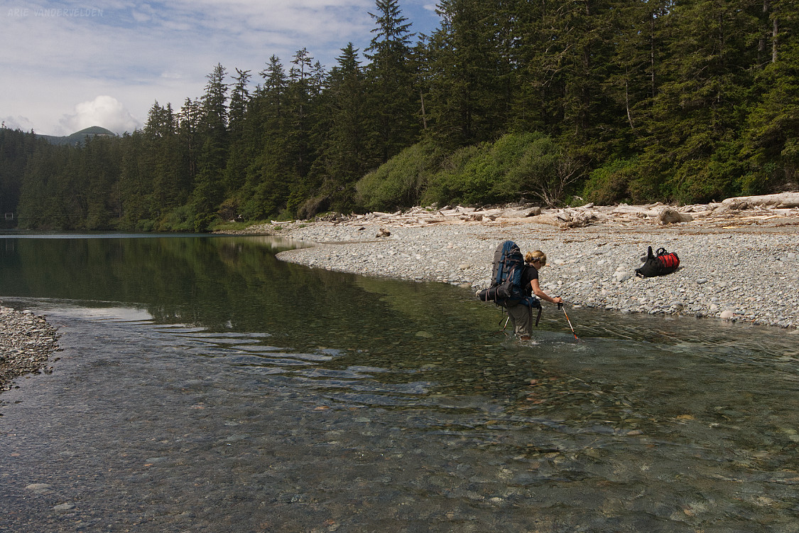
A few kilometers of beach hiking brought us to Darling River. We decided to wade it instead of using the cable car inland.
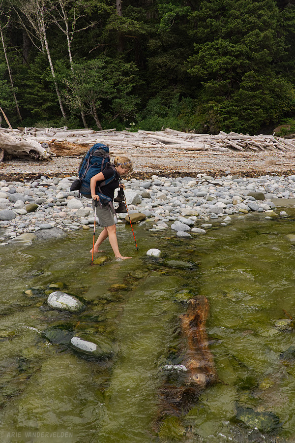
The water was cold, the rocks on the bottom of the creek were irregular and slippery, but we made it through without mishap.
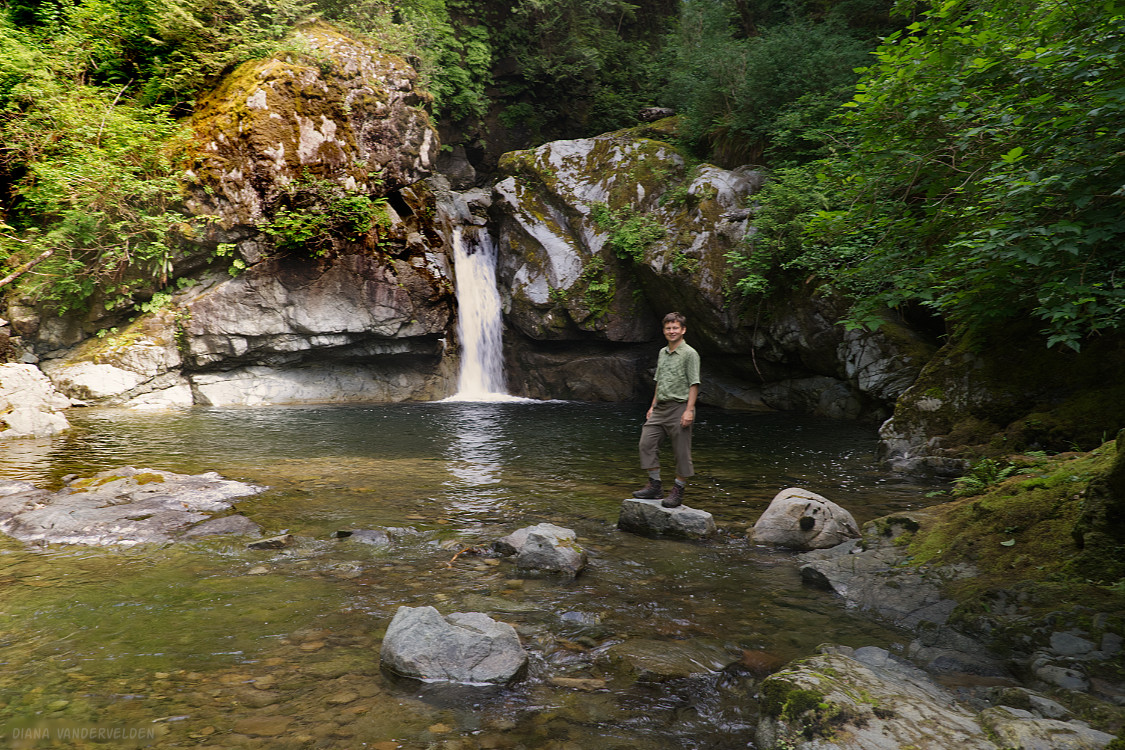
Just upstream is a pretty little waterfall.
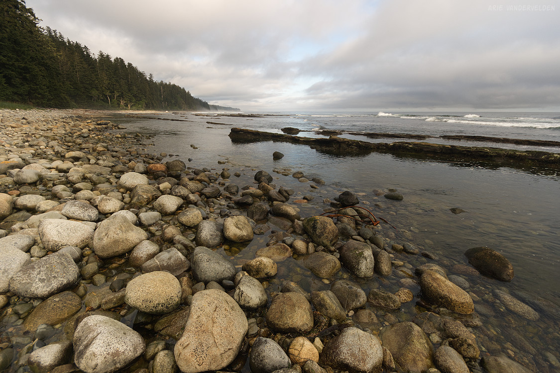
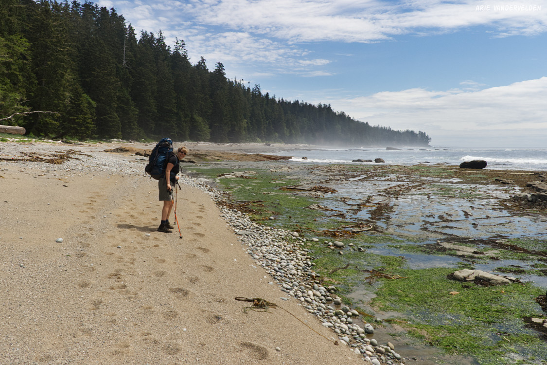
We continued along the beach.
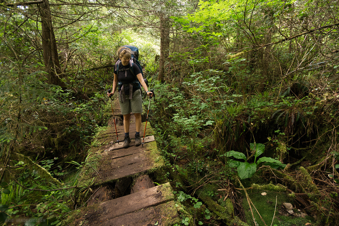
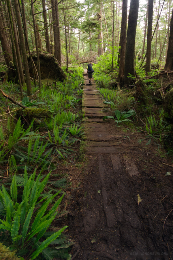
After a while the trail cut inland. The boardwalk going across boggy areas was slimy and broken, and this required careful foot placement.
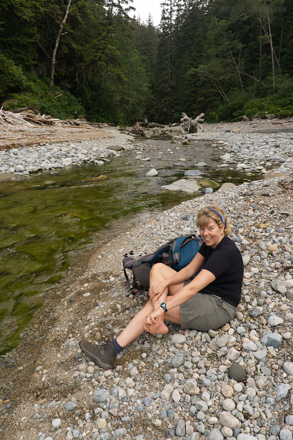
Where the trail led back to the beach, we stopped for a snack.
The trail led to the Klawana River. Again we decided to ford, rather than to make our way to the cable car inland. We removed our boots and prepared to wade. In order to be helpful, I attempted to throw Diana’s boots to the other side of the river. I misjudged my throw, the boot went straight up into the air, and it came down in the middle of the river with a big splash. Diana tells me that my mouth dropped open and my eyes went wide. I ran into the river to rescue the boot before it got too wet, or worse, floated out to sea. Once we got to the other side we had a good laugh about it.
More hiking inland, with more ladders.
Our destination for the day was Tsusiat Falls. Here, a river drops down a sandstone ledge right by the beach.
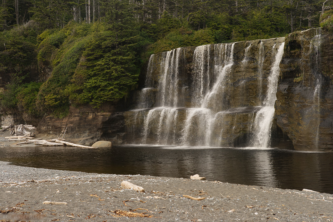
The falls are the source of drinking water. Here I am filling up our cooking pot.
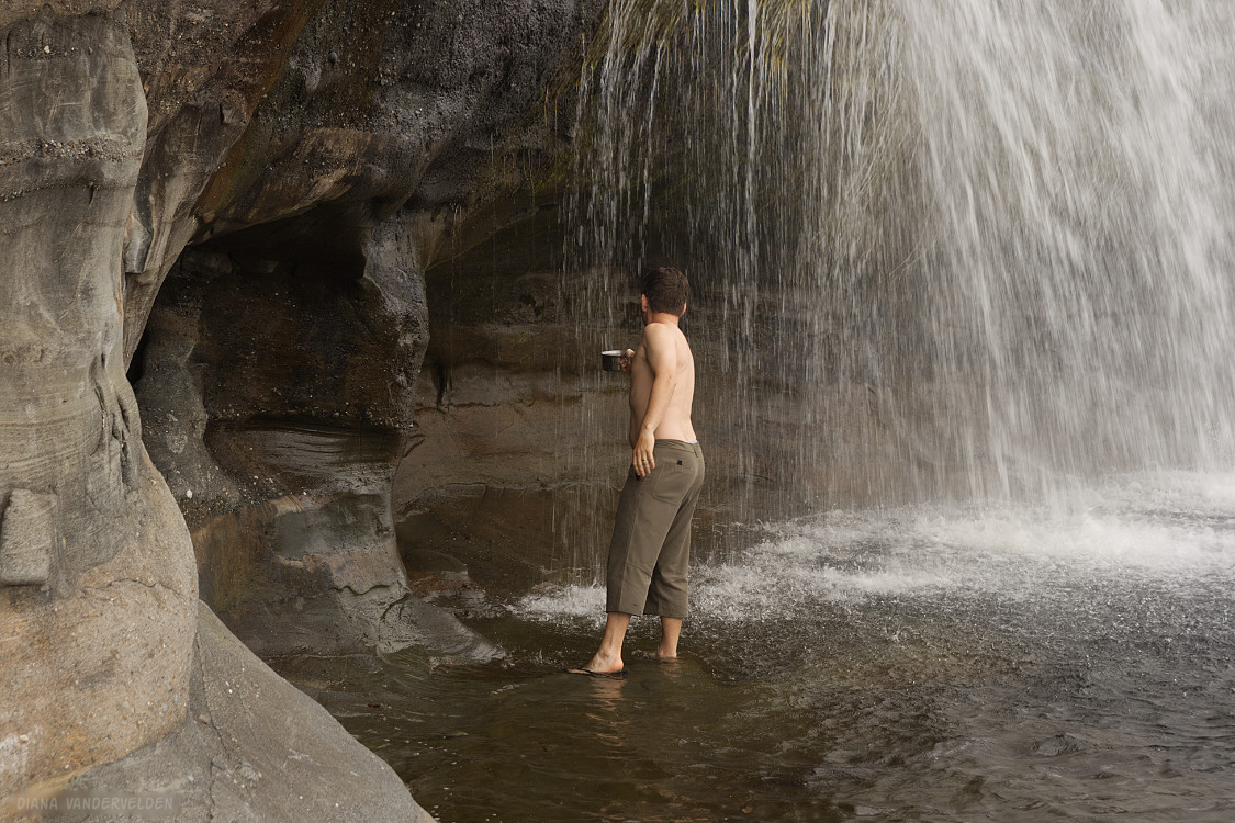
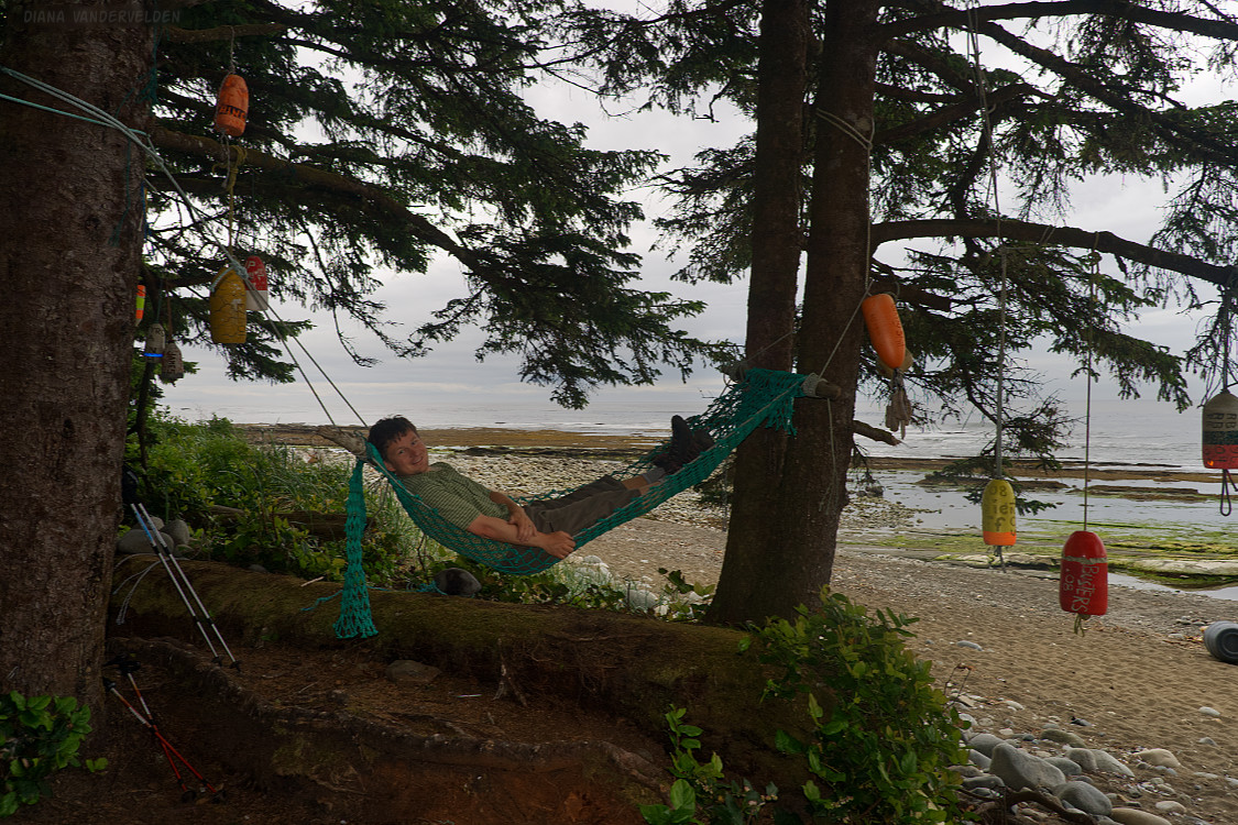
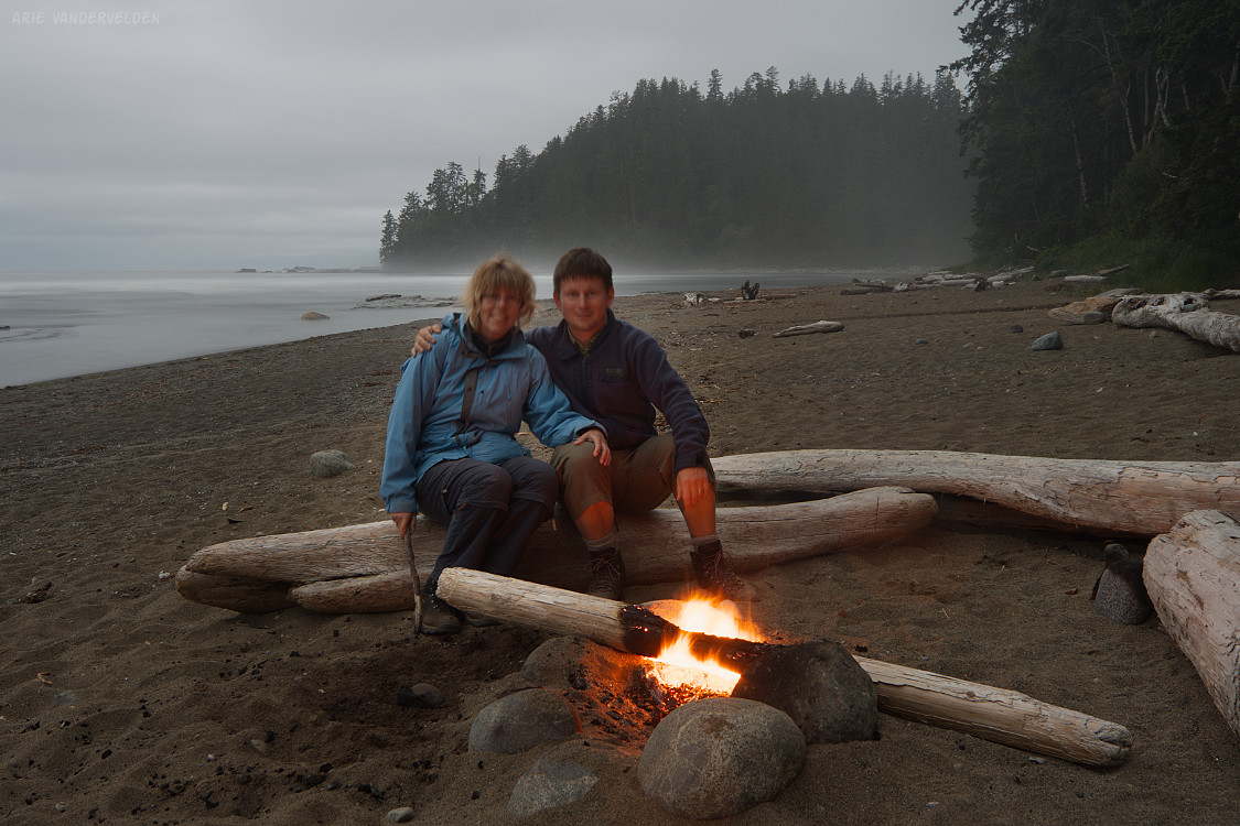
Tsusiat is a spectacular site. We enjoyed camping on the beach and having a fire.

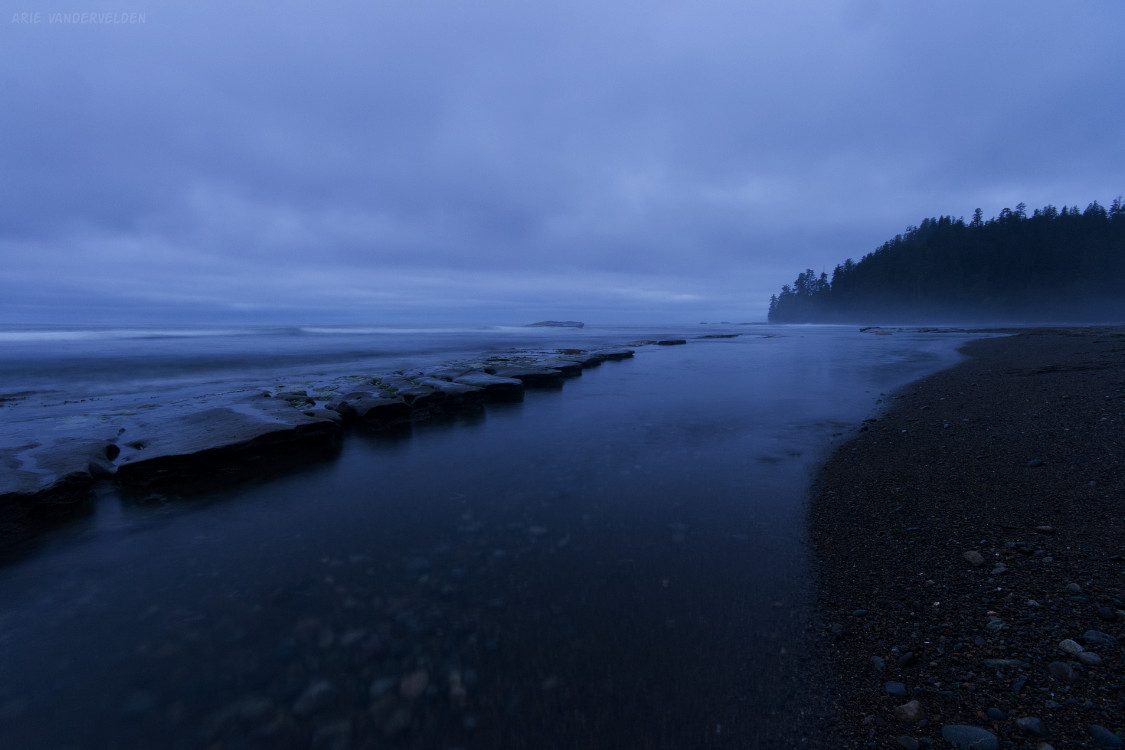
Evening scenery at Tsusiat.

Logistics
The West Coast trail in Pacific Rim national park runs from Bamfield to Port Renfrew, Vancouver Island, British Columbia.
The West Coast trail is a remote backcountry adventure. There are some first-nations villages along the way, but on the whole there are very few services. Hikers must be self-sufficient.
Some people claim that the West Coast trail is crowded, or an easy stroll. Don’t be fooled. Access to the trail is tightly controlled by Parks Canada, and only a few groups start at each end each day. If you are looking for solitude, you will find it here. The trail itself is rough and muddy, and crosses rugged terrain. Yes there is boardwalk in places, but much of it is broken and slimy, and slipping and falling is an easy thing to do. The ladders do help prevent erosion on steep slopes, but you need a head for heights to negotiate them. We encountered ladders with broken steps, and heaving yourself up past the broken step with a big backpack on while three stories up does take some nerve. Some creeks must be crossed on slippery, slimy logs. In short, there are a lot of places where you could fall and hurt yourself. Be careful.
Partway along the trail is Nitnat Narrows. Here, the local indigenous people operate a ferry to take you across. It is possible to bail out here. If you choose to do so, you’ll have to pay the locals to take you to the end of Nitnat lake (a remote spot) and from there you’ll have to find your way back to Victoria.
You begin planning a trip by booking a timeslot with Parks Canada. The current fee is $136 per person, plus a $26 reservation fee. This fee used to include the ferry crossings at Nitnat Narrows and at Gordon River, near Port Renfrew, but now the Parks Canada website indicates that this costs extra. You’ll also need a Parks Canada annual pass.
Next, you’ll need to book transportation to and from the trailheads. There is a bus service from Victoria. Note that the northern terminus near Bamfield requires several hours of driving on curvy, bumpy, washboarded logging roads. For this reason, the bus is affectionately referred to as the “vomit comet”. Pack some gravol for the trip.
For the trip itself you need sturdy boots, waterproof gear, gaiters, a tent, sleeping bag, sleeping pad, campstove, fuel, a method of water purification, and about a week worth of food. Gaiters are recommended, and don’t even try to do this trail without hiking poles. Bring bearspray, just in case. Prepare for rain – you are entering the rainforest, after all.
The guidebook for the trail is called “Blisters and Bliss – a trekker’s guide to the West Coast Trail“. You should also look up tidal charts for the area, which will help you decide whether a section of beach hiking is safe to do, or whether you need to go inland. At the trailhead, Parks Canada will issue you a map of the trail on waterproof paper. Parks Canada also requires hikers to do an orientation session at the trailhead.
It is possible to go from north to south, or from south to north. The southern part of the trail is the most strenuous, so the south-to-north route gets this bit out of the way first. But by going north-to-south, you gradually warm up to the harder parts, and you can recover from the strenuous last day once you’re done. We went north to south, camping at Michigan, Tsusiat, Cribs, Walbran, and Camper Bay. These are some of the most commonly used campsites, but there are others along the way as well.
- Pachena Bay to Michigan Creek is 12 kilometers
- Michigan Creek to Tsusiat Falls is 13 kilometers.
Continue to part 2 of our hike.