Read part 1 of our São Miguel hikes here.
Hike #2. Sete Cidades
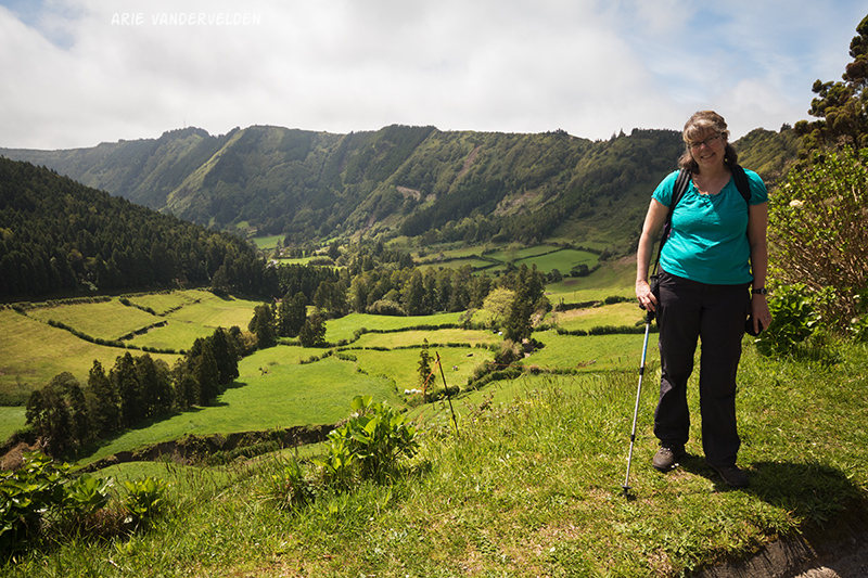
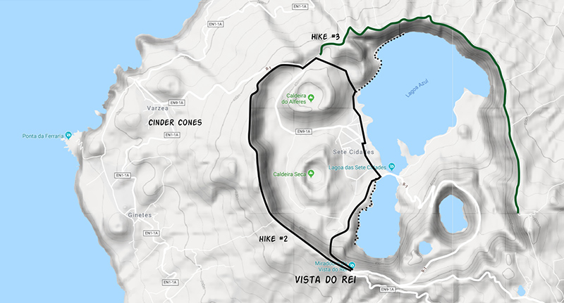
Sete Cidades is a big caldera on the west side of São Miguel. The hiking trail follows the rim of the caldera, from where there are wonderful views to the lakes and towns inside of the caldera, as well as great views down the slopes of the volcano and out to sea. The hike is 12 km loop, plus detours.
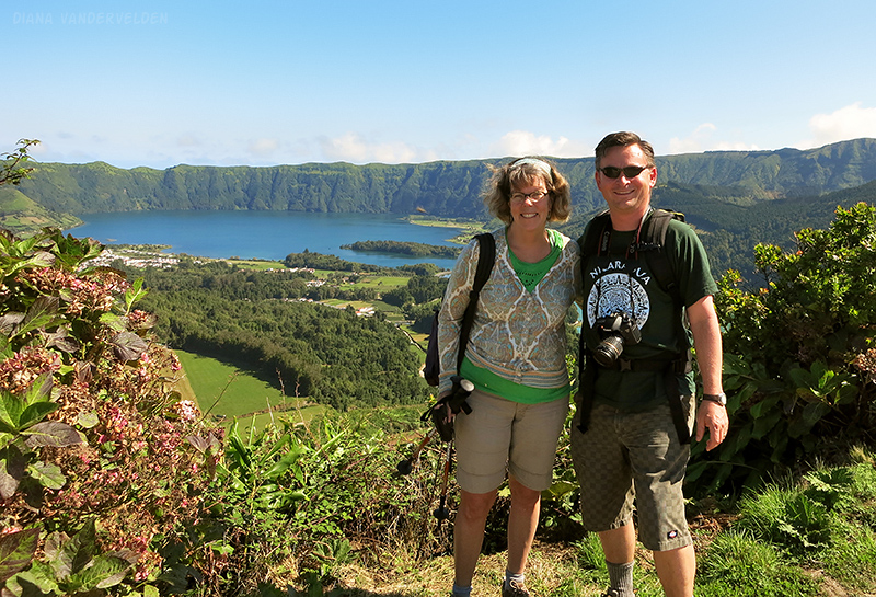
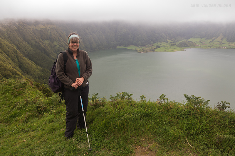
We began our hike at a place called Vista do Rei. It’s the first viewpoint of the caldera when driving up from Ponta Delgada. There are some souvenir vendors here. When there is a cruise ship in port, this area can be crowded with tour buses and people milling about, and it can be hard to find a place to park. When there is no cruise ship it’ll be quiet here. The hike starts on a gravel road that follows the rim of the caldera. Soon you leave the crowds behind, and the views are great right off the bat.
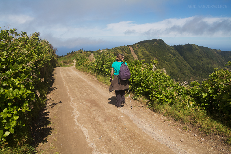
Along the trail are hydrangeas. There are hydrangeas everywhere on São Miguel, and it must be spectacular when they flower in the summertime.
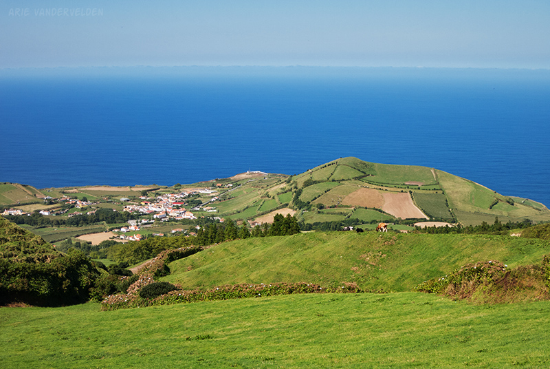
A look inside of the crater reveals the Shangri-La of Cete Cidades. Tucked inside of the crater, seemingly cut off from the rest of the world, is an area with lush pastures, and pretty little towns.
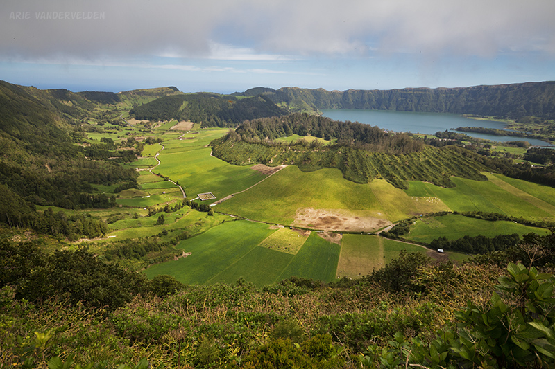
The other way are cow pastures sloping down to the sea. On these slopes are pointy green cinder cones.
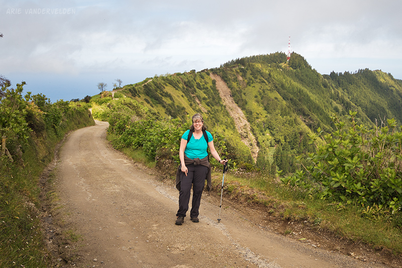
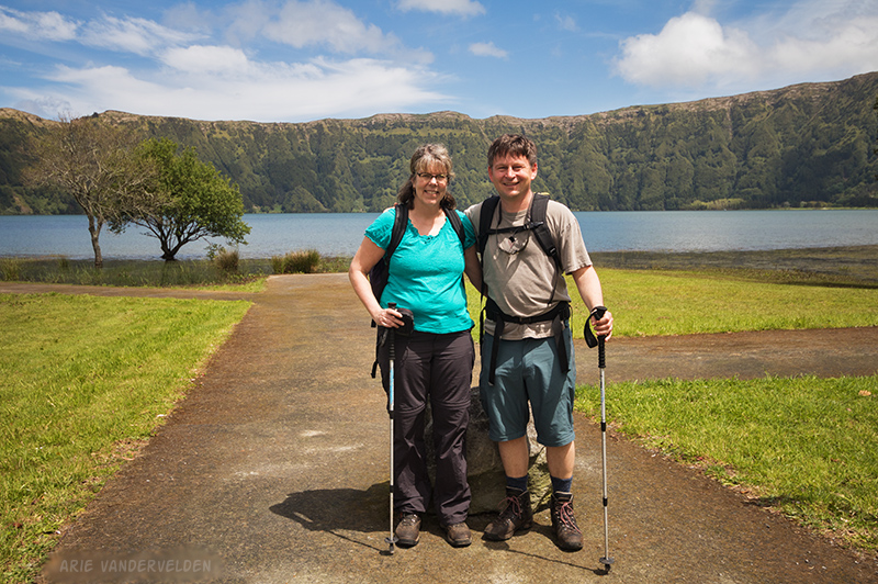
The following pictures are from our 2005 trip, when we also did this hike. Here I have my Canon 7D around my neck, in the hopes it would take another picture. Earlier in the day I had spilled some water on it, causing it to die. I never did manage to revive the camera despite my best efforts (packing it in rice, etc). The lens survived unscathed.
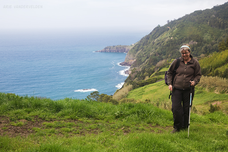
Looking towards the sea.
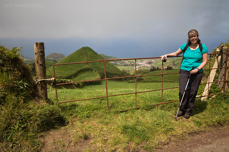
After about 5 km of walking along the crater rim the trail meets a paved road. There are some nice views from the side of the road, looking back to the way we came.
Follow the road downhill for a short distance, and then turn left on a gravel road where the paved road makes a switchback. A short distance ahead we turned to the right onto a farm track. It is also possible to go straight, to continue following the crater rim (hike #3). I’ll talk about this later, but for now let’s turn right, downhill into the crater.
This dirt road quickly becomes very steep as it goes straight down a ravine. It’s a knee-cruncher. When we hiked it in 2005, some boys were leading a herd of cows down the path.
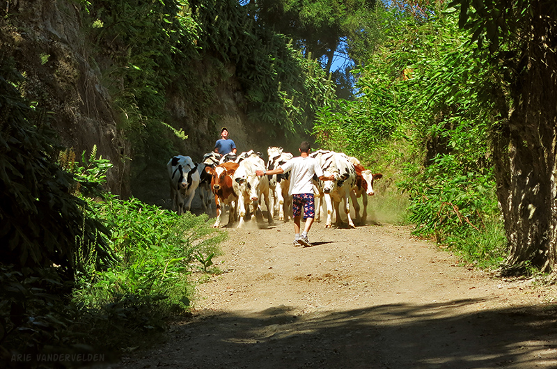
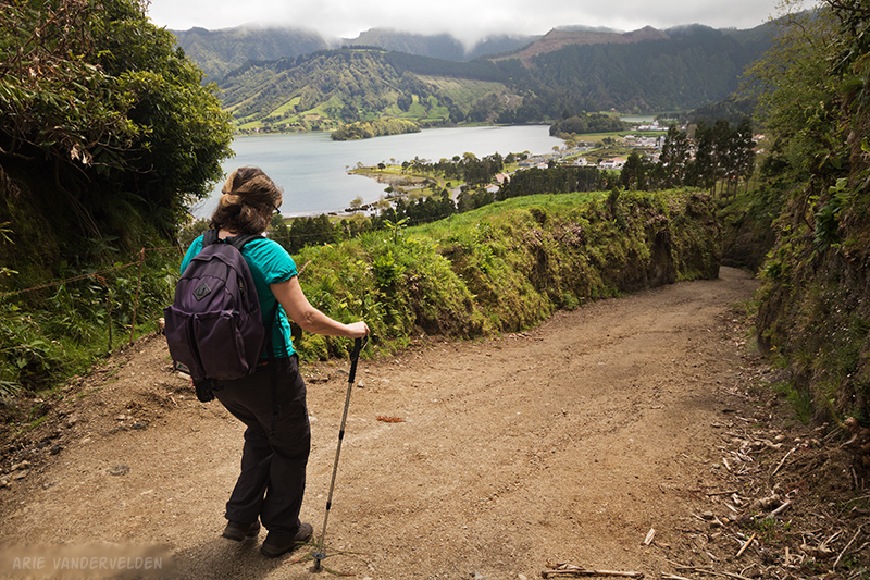
We managed to find a spot to stand while the boys and their cows passed. At the bottom of the crater the farm track meets up with the lakeshore trail.
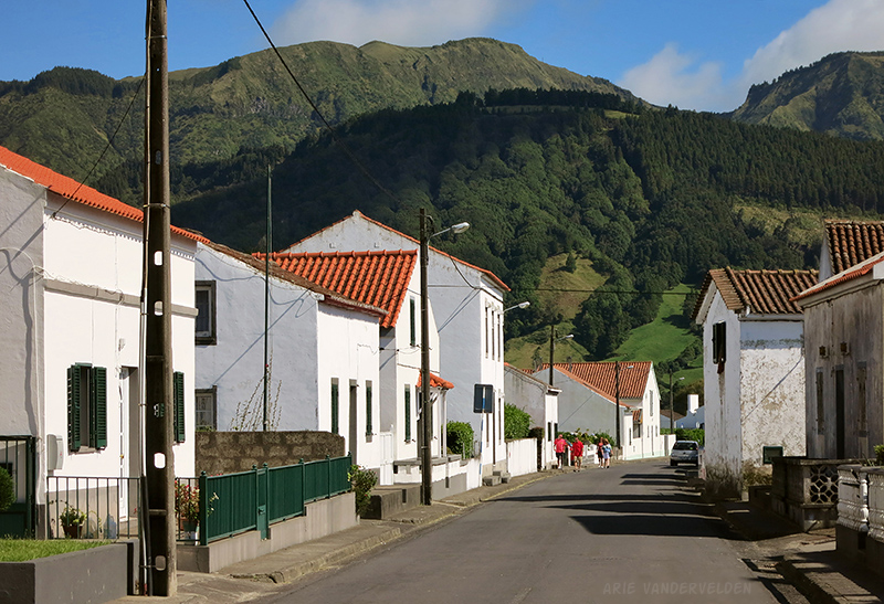
Just off to the right is the town of Sete Cidades. The name “Sete Cidades” means “Seven Cities” in Portuguese, but in actuality it’s a quaint little village. Time for a late lunch.
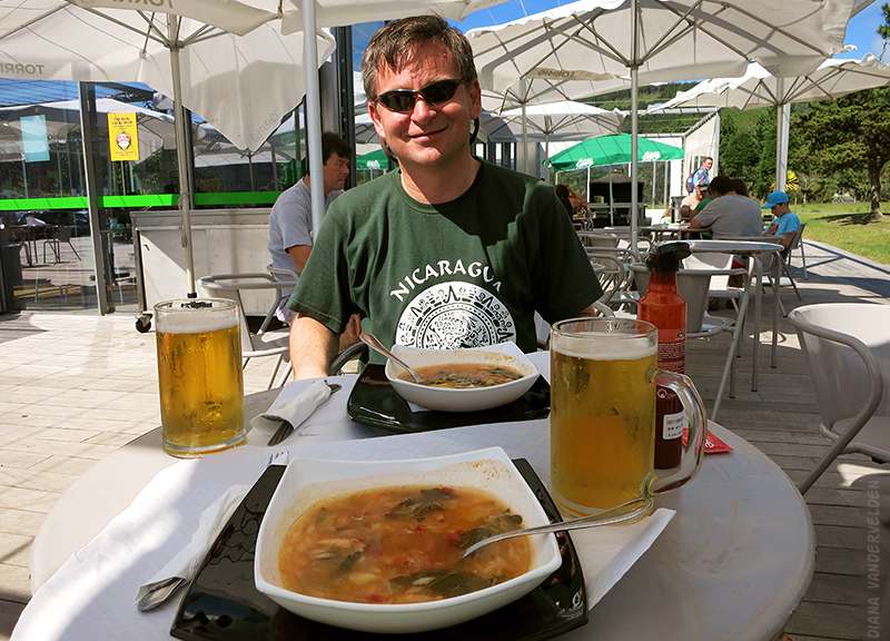
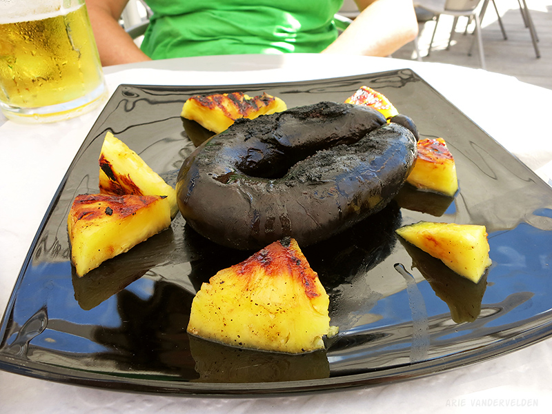
We ordered beers, vegetable soup to start, and for the main attraction: barbecued blood sausage with locally grown pineapple. Yum!
There are wonderful views from every street in Sete Cidades.
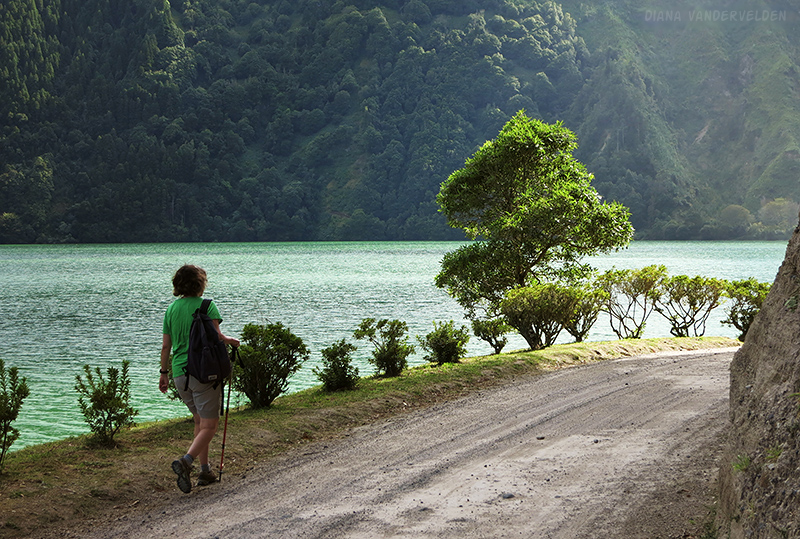
Head south, keeping the big lake (Lagoa Azul) on your left. At the south end of town there is a bridge between Lagoa Azul and Lagoa Verde. Turn right onto a dirt road. A short distance ahead is a forks. The right fork heads uphill through the forest, to Vista do Rei and your car. The left fork follows the shoreline of Lagoa Verde and has spectacular views of the lake. It’s worth following the shoreline road as a detour. It dead-ends in a steep bowl where the lake is surrounded on all sides by steep green slopes.
Initially the forest path gains elevation quite gradually. Just before meeting up with the crater rim it emerges at a huge clearcut. The road then ascends the crater rim on a very steep diagonal angle. This bit at the end of the day is quite a grunt. But, there are great views of the crater and their lakes the whole way up. The steep logging road emerges at the crater rim just a hundred meters away (or so) from your car.
Hike #3. Sete Cidades east rim.
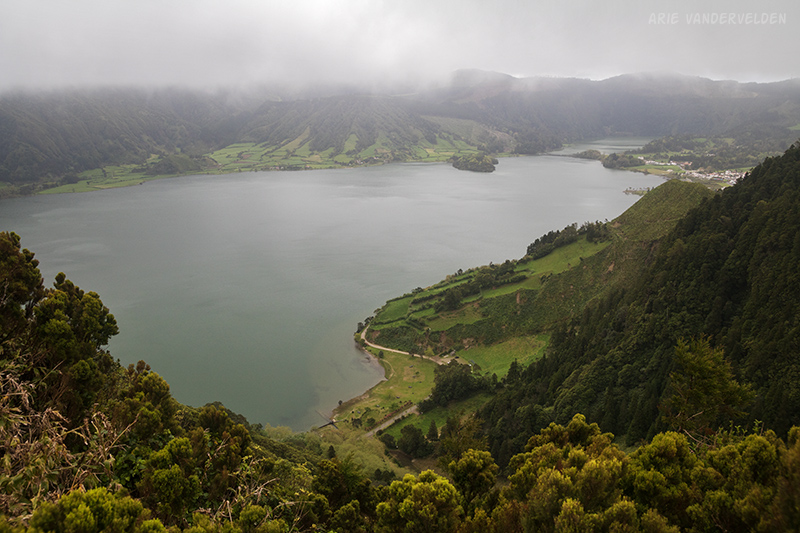
From the north side of the Sete Cidades crater it is possible to continue following the crater rim in a clockwise manner. In our guidebook, Stieglitz describes a hike that starts in João Bom along the coast, climbs to the crater rim, and then descends to the town of Remedios, with a bus ride between João Bom and Remedios. This is likely a fine hike, and I hope to do it some day. We, however, began our hike on the crater rim and did an out-and-back trip. It’s about 7 km one-way to Pico da Cruz, but we turned around well before that because of fog and low visibility.
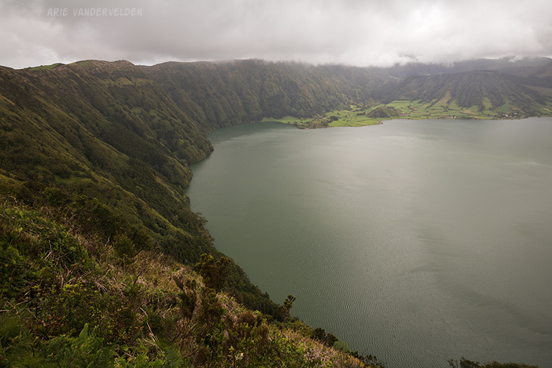
We drove from Ponta Delgada to Vista do Rei, crossed the crater, and drove up to the north side of the crater rim. Just before the crater rim we turned right onto a gravel road (the same one we hiked in walk #2). There are good parking spots beside the road. We continued down the road on foot. The road makes a few switchbacks through the forest before emerging on the crater rim. From here there is a spectacular view of Lagoa Azul.
There are more views a bit further along the trail. Here, the steep green slopes that drop down to the lake are in view.
The road continues to gain elevation as you go along. For us this was bad news. We hiked up into the cloud and the views disappeared. We found a picnic site where we had a cup of tea and some cookies, and then we hiked on for a ways, hoping the clouds would part. They didn’t. We turned around and went back the way we came.

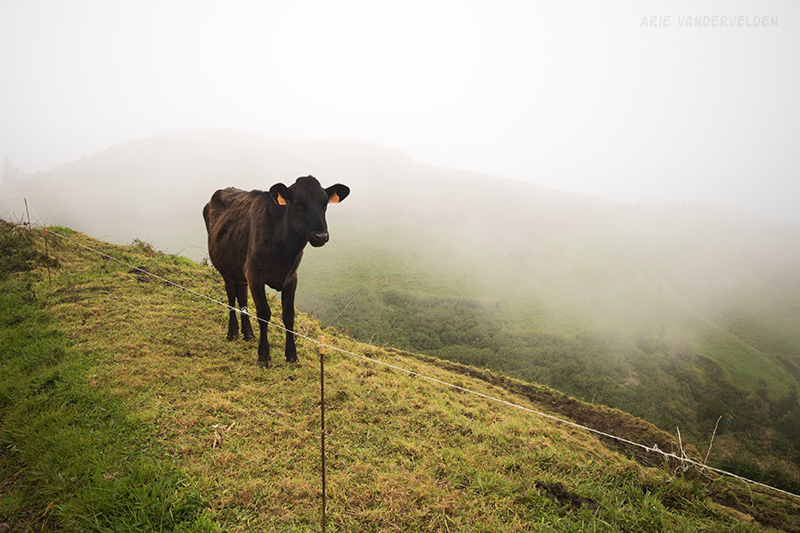
Cows in the mist, rather than gorillas?
Hike #4. Agrião trail
Sometimes, choosing a hike on São Miguel is dictated by the weather. On a given day, some parts of the island may be cloudy, in some parts it may be raining, and in other parts it may be clear. When we hiked the Agrião trail it was one of the few sunny places on the island. I judged by going outside in the morning and having a look around. A German tourist we met on the trail told us that she checks webcams around the island. It’s a more high-tech way to go.
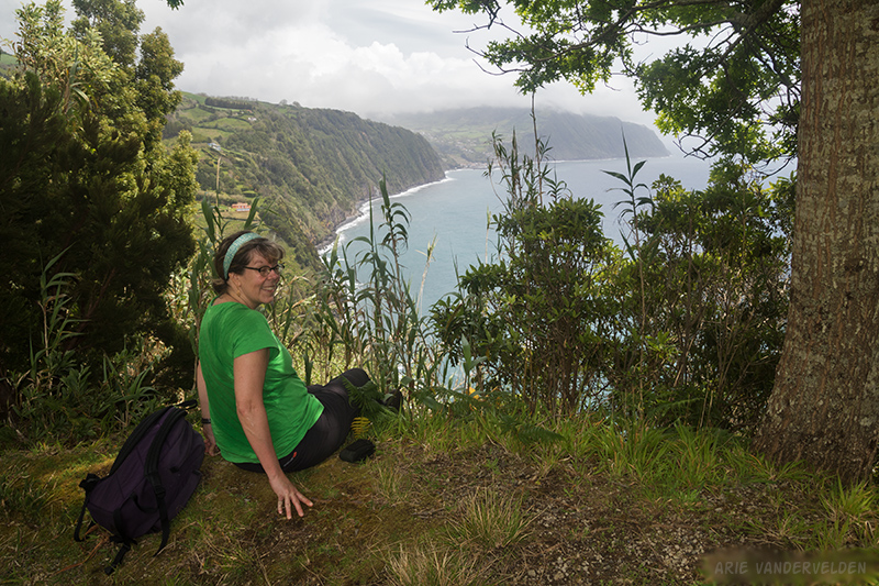
The Agrião trail connects the towns of Povoação and Ribeira Quente on the southeast coast of São Miguel. Agrião means watercress in Portuguese. The first 4 km or so out of Povoação are pretty pointless to walk because the trail follows the main road. We started about 4 km outside of Povoação and 10 km south of Furnas. The start of the trail is just past a big bend in the road that has a great view of the ocean. Look for a parking spot with a trail sign. It’s about 3.5 or 4 km one-way to Ribeira Quente.
The trail follows a farm road that descends some cow pastures. Initially there are great views of the ocean, but as you descend the views become obstructed by trees and privacy fences around villas.
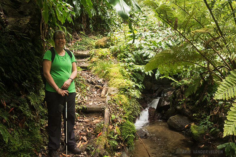
The trail descends steeply to a creek, where there is lush vegetation. It then climbs right back up.
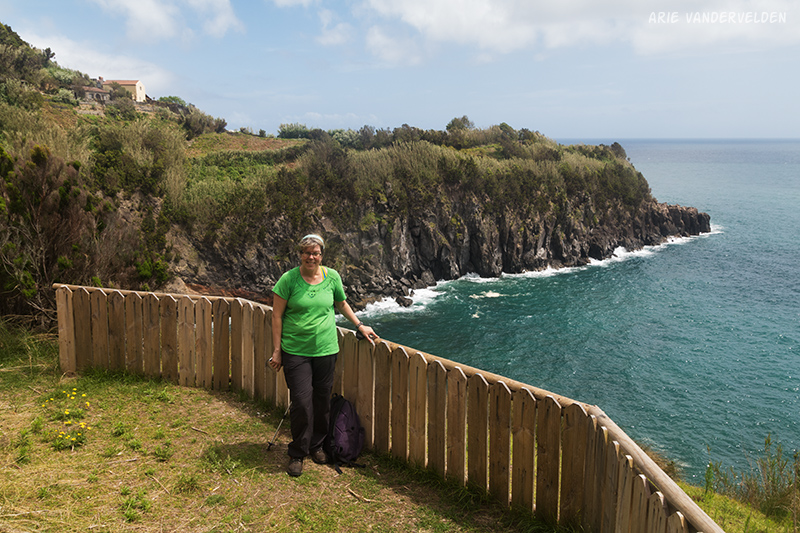
We found a lunch spot with a view down the coast.
There is a sharp point (Ponta do Garajau) just before Ribeira Quente. Here the views begin to open up.
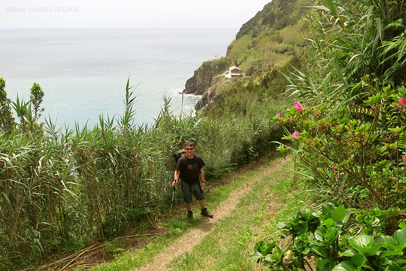
At the point is a small fisherman’s chapel. A viewpoint just beyond provides views back towards the point.
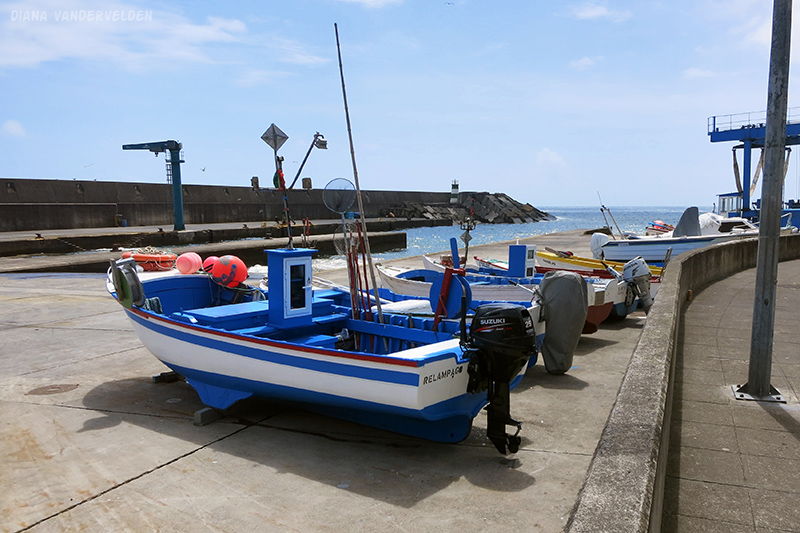
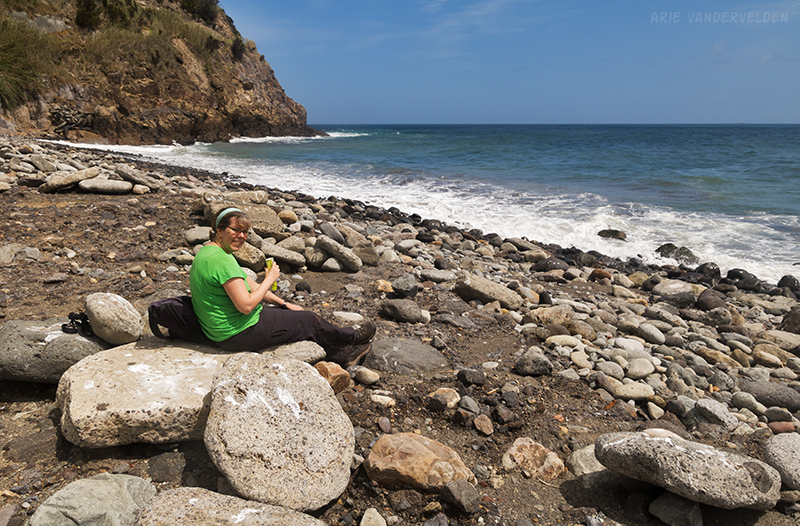
Ribeira Quente is a fishing port. We looked around the harbour, and then bought some popsicles at a local shop.
We ate our popsicles at the local beach. Having finished those, we returned the way we came.
Continue to part 3 of hikes on São Miguel.
Logistics
Sete Cidades is on the west side of São Miguel.
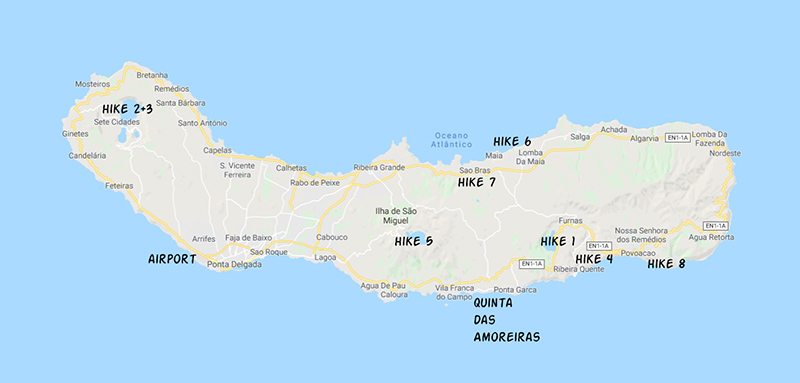
Hike 2 is a circular loop, and hike 3 is an out-and-back long the crater rim.
The Agrião trail is on the south coast near Ribeira Quente. The tourism website has a map.