This is part two of our Nakasendo hike. Read part 1 here.
Kiso-Fukushima to Suhara
After visiting Matsumoto, Narai, and Kiso-Fukushima by train with our big backpacks, we now started our village-to-village hike. We found a shop near the Kiso-Fukushima train station with the Takkyubin logo (see logistics, part one of our hike) and we shipped one of our backpacks to Kyoto, to be delivered in four days’ time.
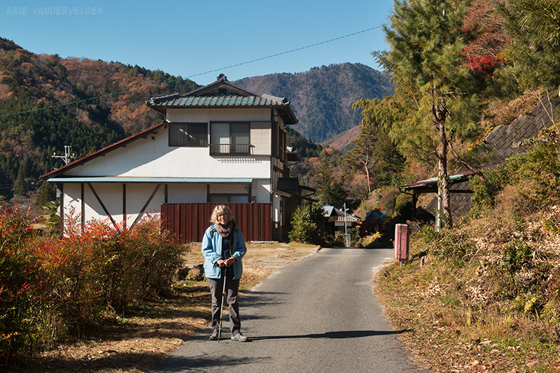
At this point in time I did not have my detailed Nakasendo map, so we were reliant on signs pointing the way. We did fine for the first bit and found our way to the outskirts of Kiso-Fukushima. Here the valley narrowed and we walked along the highway for a short while. We found the turnoff onto a pretty country road, but it ended and we were once again on the busy highway. This time we missed the turnoff, and we slogged for several miles along the highway to an industrial area called Urushiwaki. Here we found several confusing signs. We descended down to the Kiso river, where a bright-red bridge led to a quiet country road on the far side of the river.
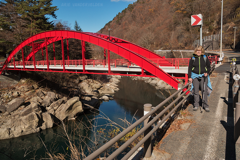
Hiking along the river was a real joy. It was nice and sunny, the scenery was great, and only a few cars now and then came down the road. We stopped to have some buns for a snack. We sat and watched the calm water flow across smooth granite boulders in the canyon below.
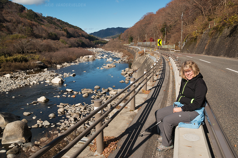
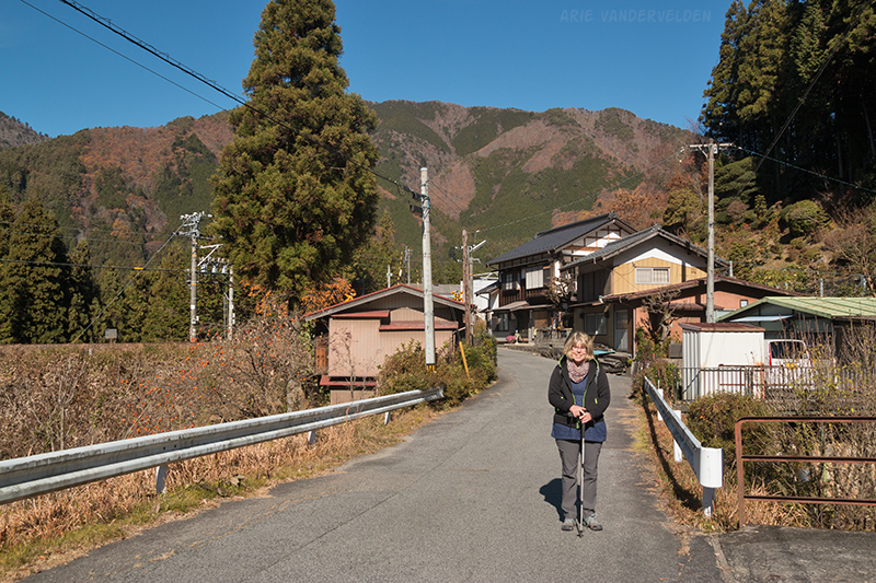
The country road came to an end at a bridge where the highway crossed over. So we crossed to the opposite, quieter side of the river. There were some small farms here, and there were great views of the mountains.
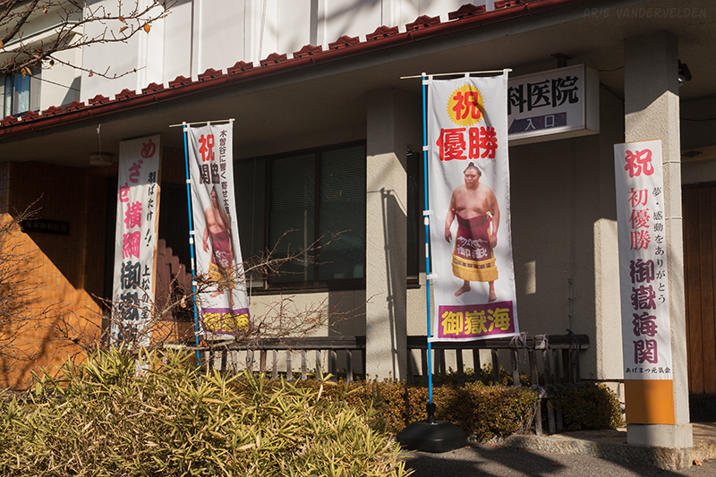
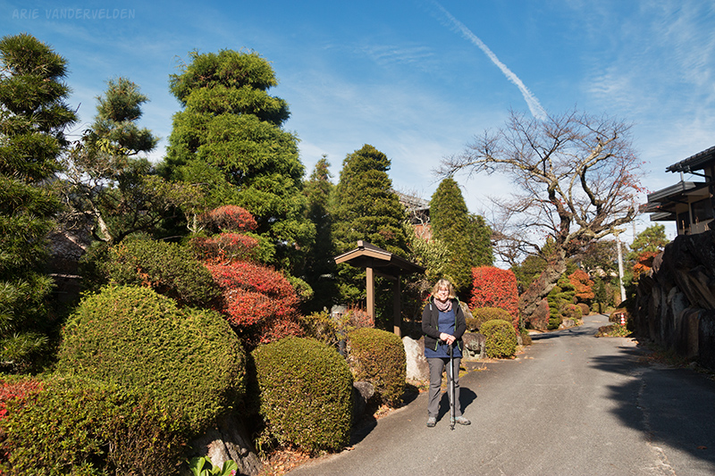
A country road led into the post-town of Agematsu. There were some nice old houses here, and it seemed like a nice village. In just about every window of every house were pictures of a sumo wrestler. It was quite striking, and later on I googled and found out that a local wrestler named Mitakeumi who competes in the top sumo division. The people from Agematsu must be very proud of him.
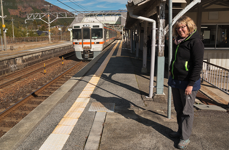
In Agematsu there was a small festival going on, and there were some food stands. We bought a skewer with garlic chicken, and two buns stuffed with seaweed. The locals seemed very pleased to have some foreigners stop by. After this we caught the train to Suhara, our stop for the night.
Suhara is a pretty little post-town where the main street is lined with traditional buildings. Along this street is a traditional Japanese minshuku (guesthouse), and we had rented it for the night. No, no, you say, you booked a room in the minshuku. No, I say, we booked the whole thing, all seven rooms. The owner does not run the place like an inn where dinner and breakfast are served, but rather it’s run like a vacation rental where you meet the owner to get the key and meet again for check-out.
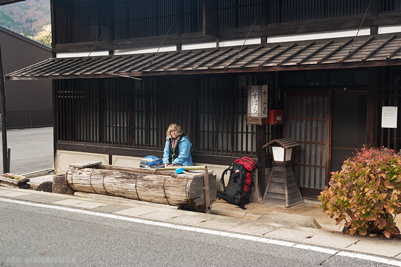
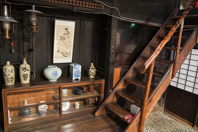
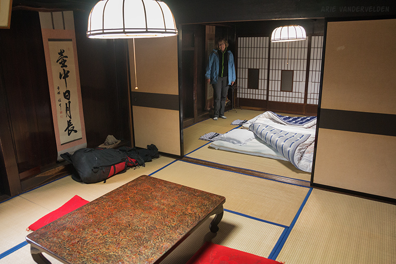
The inside of the minshuku was like a museum: a firepit, ricepaper screens, and tatami mats on the floor. The place was soaked in history, and we could only imagine the travelers who would have stayed here in days long gone by. It’s definitely one of the most special places we’ve stayed in our travels. In an annex at the back were a modern kitchen and bathroom.
There was no central heating due to the age of the building. Rather, the owner showed us how to work a butane space-heater. We fenced off one area of the building with rice-paper screens, and we managed to get it reasonably comfortable. It took a while to get the chill off, though.
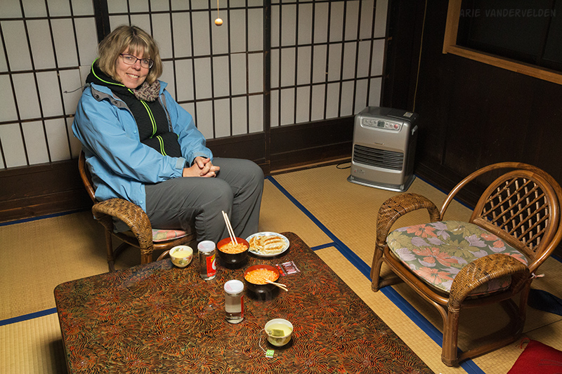
For dinner we bought some packaged foods from the 7-eleven down by the highway and cooked them up in the kitchen. In all, our stay at the minshuku felt more like camping than it did like staying in a hotel. It was all good fun, though.
In one area of the minshuku were a bunch of tourist pamphlets including a stack of maps of the Nakasendo Way. I immediately recognized the value of the maps and took one. I studied it thoroughly in preparation for the next day’s hike. The space heater ran out of gas at 5 am, but we were snug in our bedrolls.
Suhara to Tsumago
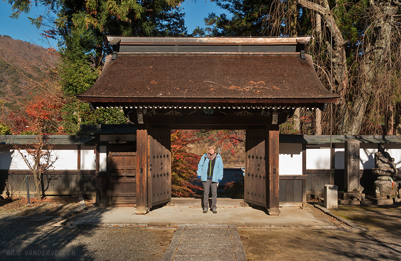
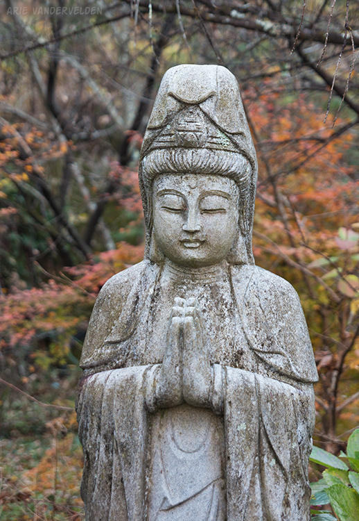
We woke up to heavy frost outside, and bright clear skies. We started our day by visiting a temple on the outskirts of Suhara.
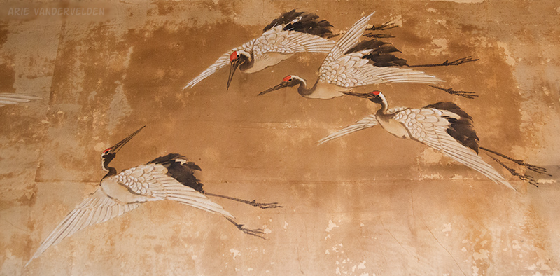
A tour group of Japanese walkers was just leaving the temple, and the caretaker let us in. In the tatami area of the temple there were very ancient-looking decorations of cranes on the walls. In Japan, cranes are a symbol of longevity and good luck.
After the temple we set off down the trail, aided by my new map. We hiked parallel to the train tracks for a bit.
In a small village we spotted a Coffee Boss vending machine. Now, I should stop to explain a little about vending machines in Japan. They can be found on most street corners and they dispense both hot and cold drinks. The hot coffee is not hot water mixed with instant coffee; rather, it’s coffee in a metal can that’s pre-heated. There are a number of different brands around, but the one I like is called Coffee Boss. So, while walking down the trail in a caffeine-deprived state I was delighted to spot this vending machine.
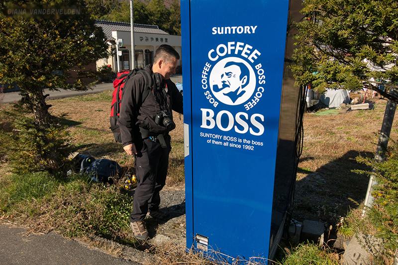
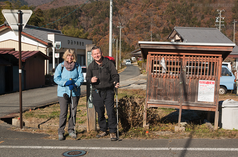
As we opened the cans and enjoyed the hot liquid, a gentleman came along who offered to take our picture.
Just down the road my map told us to take a left turn, up a small country road heading into the hills. I wasn’t quite sure about this because our general direction of travel was down the main valley, but it turned out to be a great choice. Shady areas were still frosty, but as soon as the sun touched the ground things warmed up quickly.
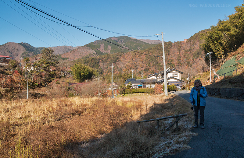
The scenery was wonderful, and we enjoyed the crisp autumn weather.
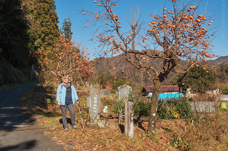
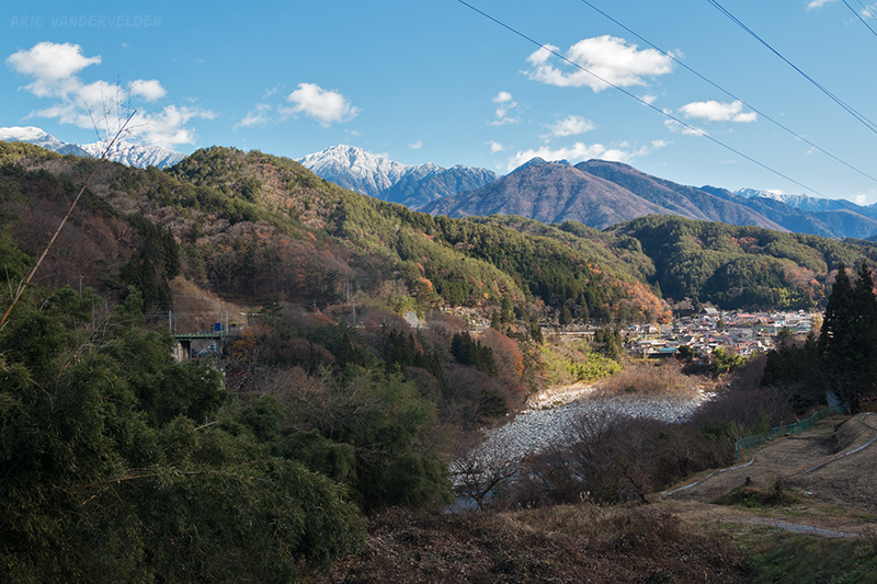
The country road led into a hanging valley with tiered rice paddies. Small farms dotted the valley bottom. I’m guessing that this valley is a tilted caldera, and that we were walking around the central uplift in a clockwise manner.
There was a small temple in the hanging valley where we ran into the Japanese walking tour again. We said Konichiwa (hello) to them and the walkers bowed to us in return.
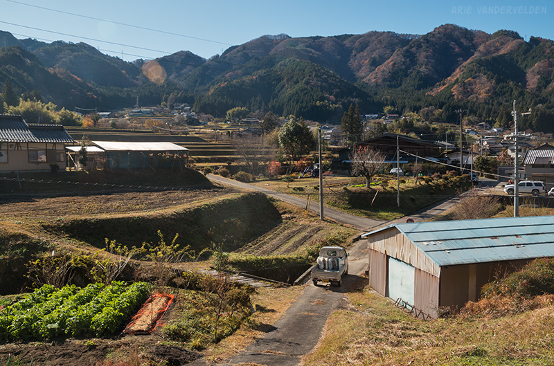
We continued along the road, which now headed in a downhill direction, back to the main valley. A babbling brook flowed beside the road. The scenery was delightful, and we were happy to be were we were. To us, this is what travel is all about. Pretty countryside, friendly people, and enjoying some nice weather. We were thankful to have a good map, or else we would have missed this wonderful valley.
Back down in the main valley we stopped at the Okawa train station to use the washrooms. When we were ready to go we saw the Japanese walkers come towards us again! This time there were deep bows and big smiles from all of the two dozen or so hikers. The tour leader spoke some English, and told us how he’d traveled across Canada and the US with a Greyhound bus pass, taking long overnight bus journeys to save on accommodation costs.
We said goodbye to the walkers and continued on. We hiked a short section of highway, and then turned on a country road that led towards the village of Nojiri.
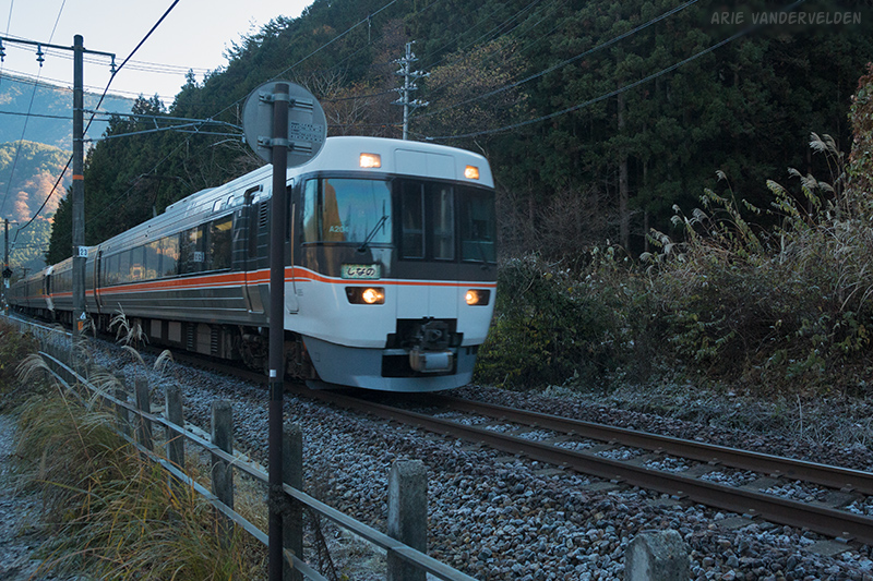
Here we caught the train to Nagiso.
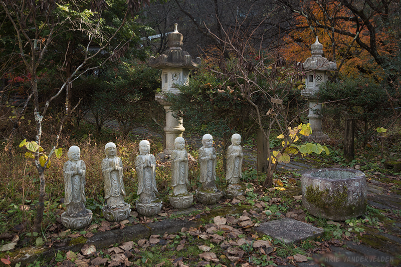
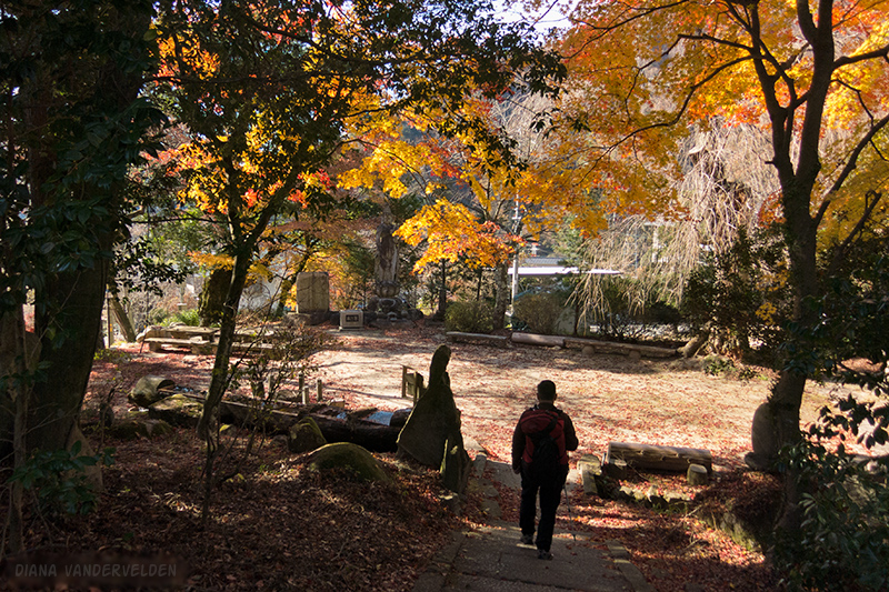
From Nagiso we still had some more hiking to do, to reach our destination for the night. On the outskirts of Nagiso was a small shrine in the woods.
Here the Nakasendo Way leads away from the train tracks and highway, and heads into the hills.
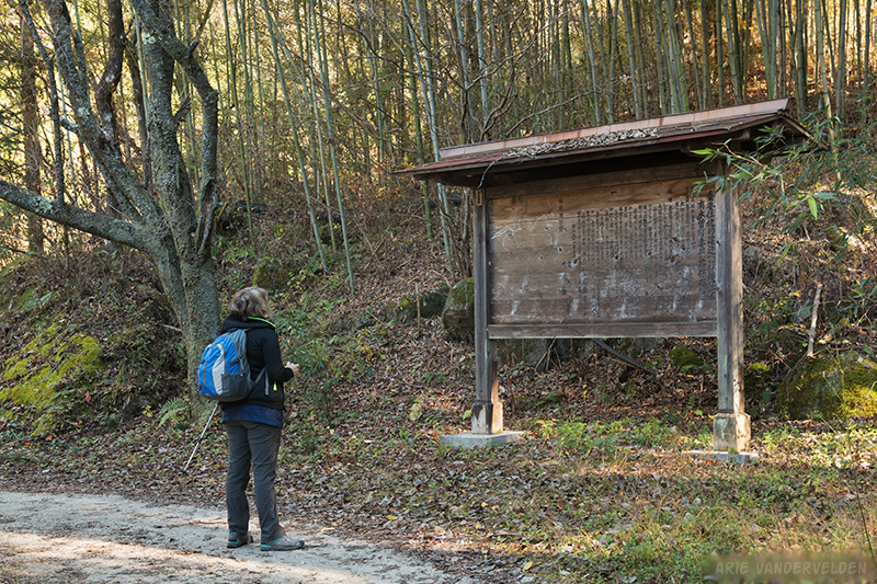
There was a confusing five-way junction, but thanks to our excellent map we found our way.
The trail led into some bamboo woods.
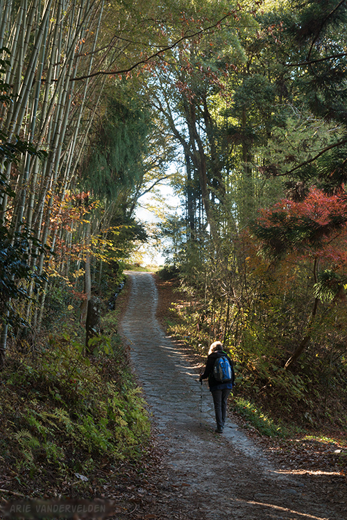
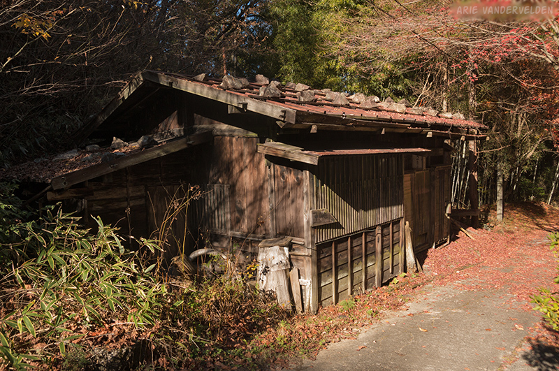
On the outskirts of Tsumago we passed an old teahouse, not in operation.
The trail then led to a pass, where there was a side trail to a hilltop. This hilltop was the site of a former castle. Nothing remains of the castle today, but there were great views of Tsumago and the Tsumago-Magome pass.

In part three of our hike we explore Tsumago and hike to Magome.
Logistics
In part one of this series, there are some tips to organizing a trip to the Kiso valley, as well as tips on how to use the train and how to send your luggage ahead.
We spent one night in Suhara Minshuku. It can be booked on major booking sites. Be sure to book early because this place can get booked up – there is only one guesthouse! Highly recommended. If I were to do this hike again I’d spend a few nights here, so to be able to hike more sections of the Nakasendo Way.
It’s about 10 km to walk from Kiso Mikawaya ryokan in Kiso-Fukushima to Agematsu.
Suhara to Nojiri is about 7.5 km, and Nagiso to Ryokan Hanaya in Tsumago is about 5 km.