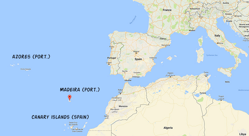
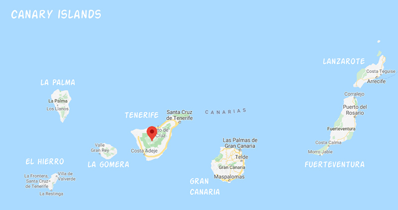
Tenerife is located west of Morocco, and is one of Spain’s Canary islands. Along with Palma de Mallorca, Tenerife is one of the birthplaces of package tourism. Given this history and Spain’s reputation for rampant overdevelopment, we did not have high expectations when we booked our plane tickets to Tenerife. But, the price of the airfare was right and we were craving some sunshine.
Our preconceptions were well founded, at least initially. Tenerife’s airport is on the drier southern side of the island, and driving away from the airport we passed one drab tourist development after another. These cinder-block developments were set in a desert-like landscape, scorched brown due to lack of rain. The coast lacks beaches for the most part. We were scratching our heads, wondering why Tenerife is so popular.
Then we rounded the northeastern tip of the island and drove along the northern shore. Here the vegetation is a lot more lush, with terraced fields full of vegetables and other crops. This part of Tenerife is much more populated, with vibrant towns and cities that are fully Spanish. There are some tourists in this area as well, but they are vastly outnumbered by the locals. Things were looking up!
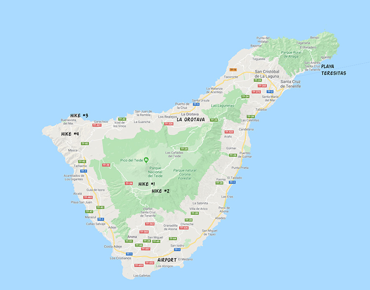
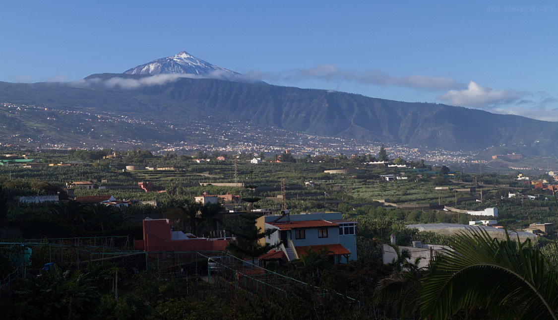
The main reason for the vast differences in climate between the south and the north sides of the island is a huge volcano called Teide. At 3718 m, Teide is the highest point in Spain. This volcano is so large it creates its own weather systems.
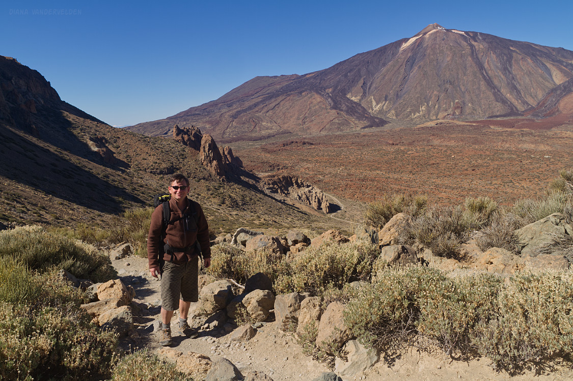
Hike #1 – Roques de Garcia
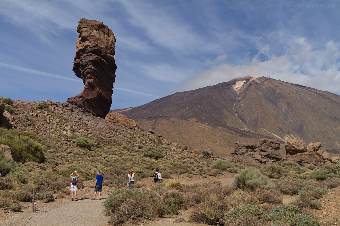
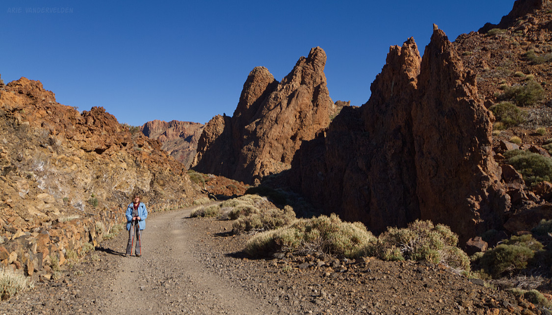
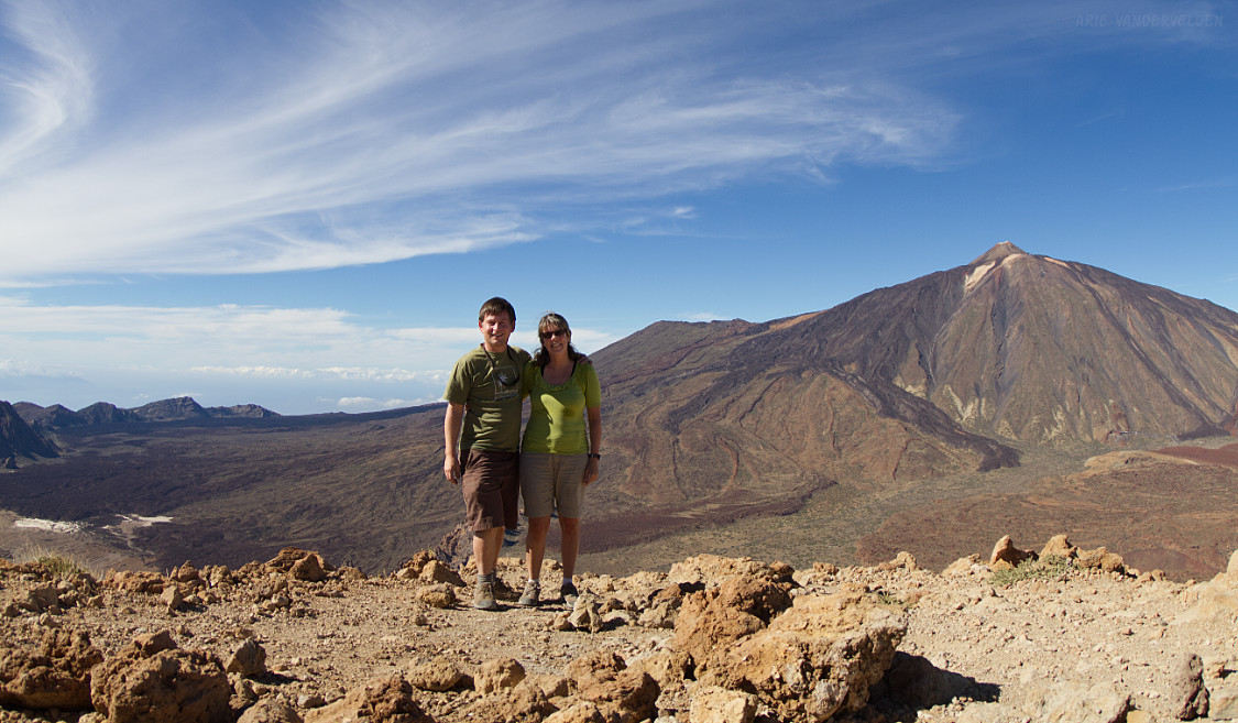
There are several roads that lead up to the volcanic highlands and to the national park that surrounds Teide. Countless hairpin turns lead upward and upward. At about 1000 m elevation there is an inverse treeline, and you’re suddenly in a pine forest. The switchbacks and hairpin turns continue, and at about 1800 m elevation there is another treeline. This time you transition from forest to a dry alpine environment. The treed zone is essentially where clouds butt up against the volcano, and the dry alpine zone above it is above the clouds most of the time. The road now levels out and leads to the Parador (government hotel) and the parking lot for Roques de Garcia. A short, popular trail winds its way through interesting rock formations.
The first sight along the trail is Roque Cinchado. It’s a pillar of volcaniclastic rock. Like a hoodoo, it is protected from erosion by a caprock, in this case made of basalt. In the picture below you can see a pile of rubble just a bit further along the trail, which is probably the remnants of another pillar that collapsed.
Other rock formations at Roques de Garcia are composed of volcanic breccias and dykes.
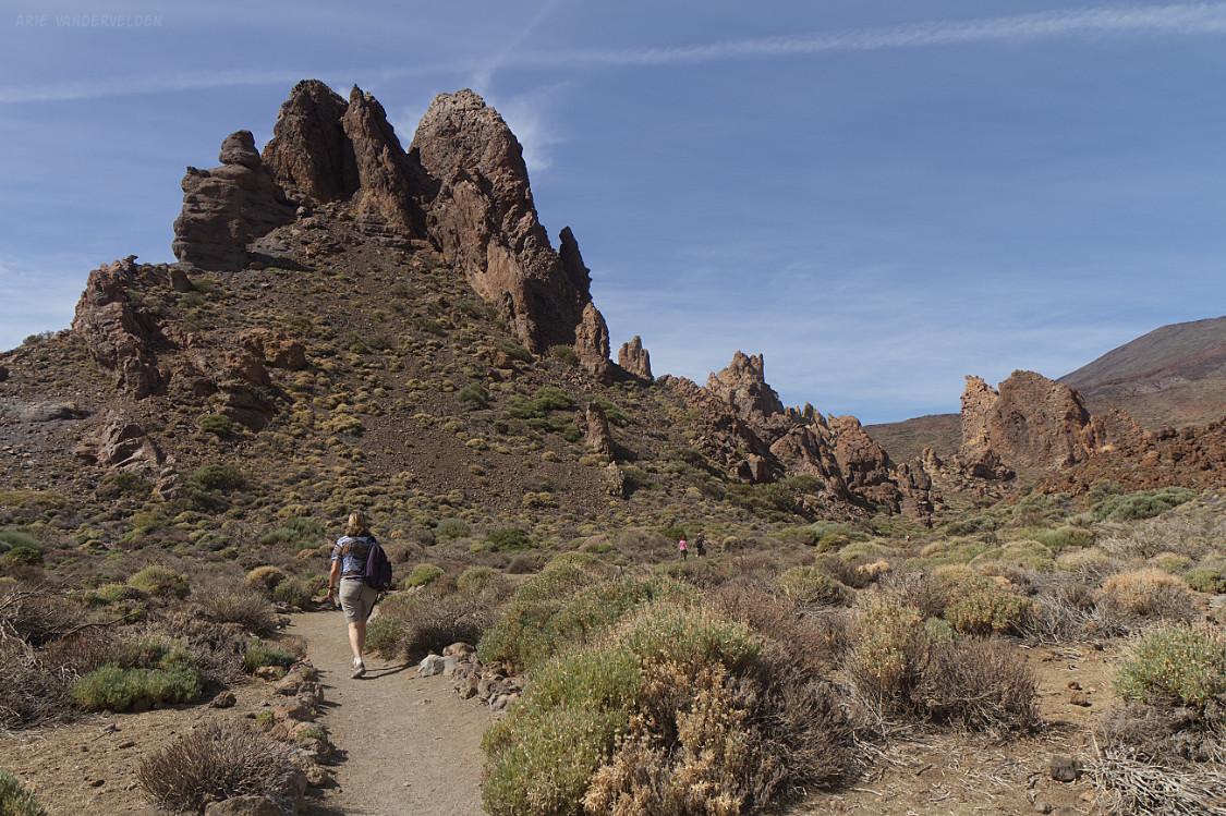
These erosional remnants are colorful and have wonderful shapes.
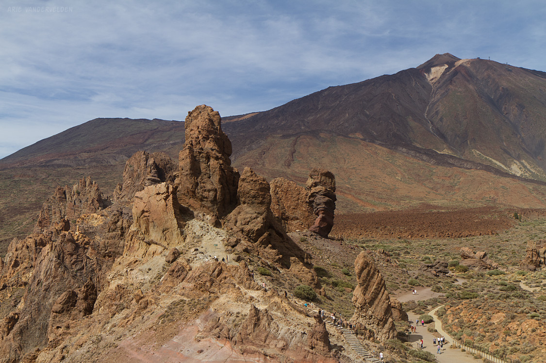
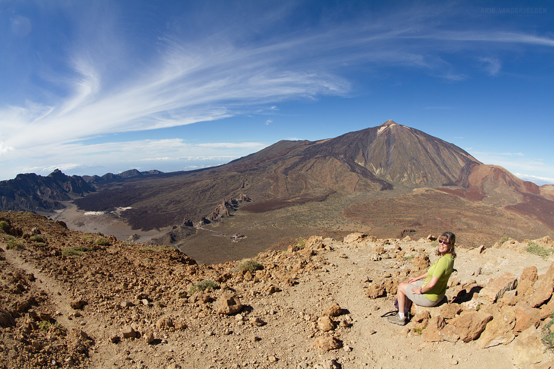
Past the Roques de Garcia, the trail continues up the lava flows blanketing Mount Teide. This trail continues all the way to the summit of Teide, which is a very long and relentlessly steep hike. We turned around and went back the way we came.
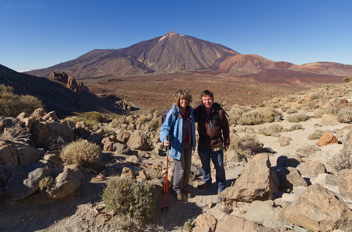
Hike #2 – Alto de Guajara
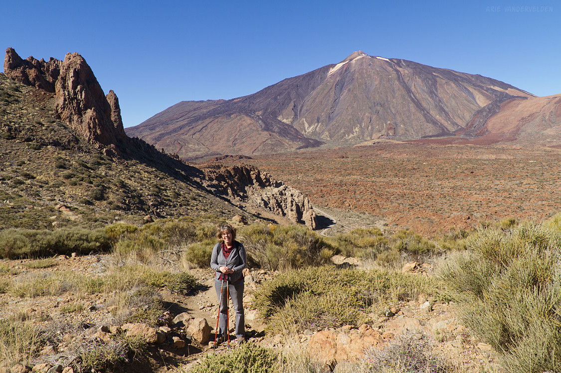
This route leads to the summit of Mount Guajara, from which there are spectacular views of Teide. If that’s not enough, this is a varied hike with lots of interesting rock formations along the way. In my opinion this is the best hike in Tenerife and one of the most scenic dayhikes in the world.
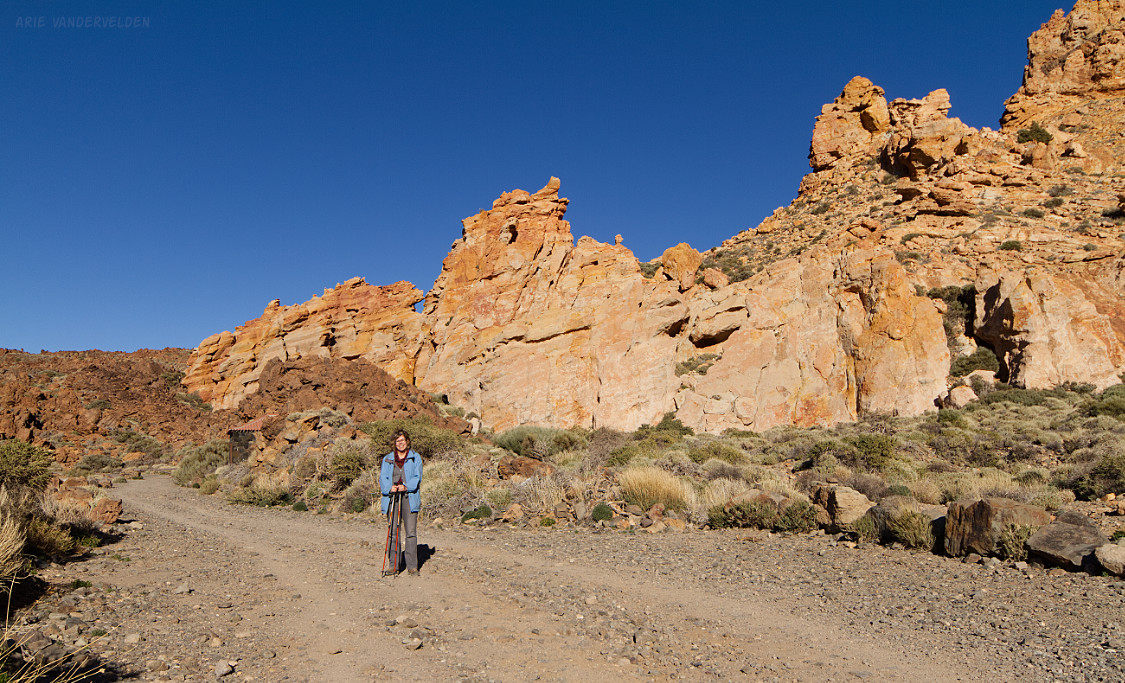
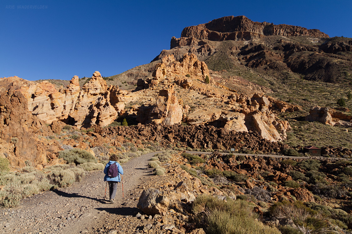
A narrow trail begins at the Parador and heads south. After several hundred meters this trail connects with an old gravel road (closed to traffic). Turn left, towards the east. This road winds its way through colorful rocks, and there are spectacular views at every turn.
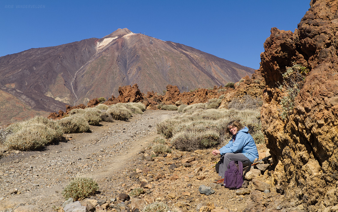
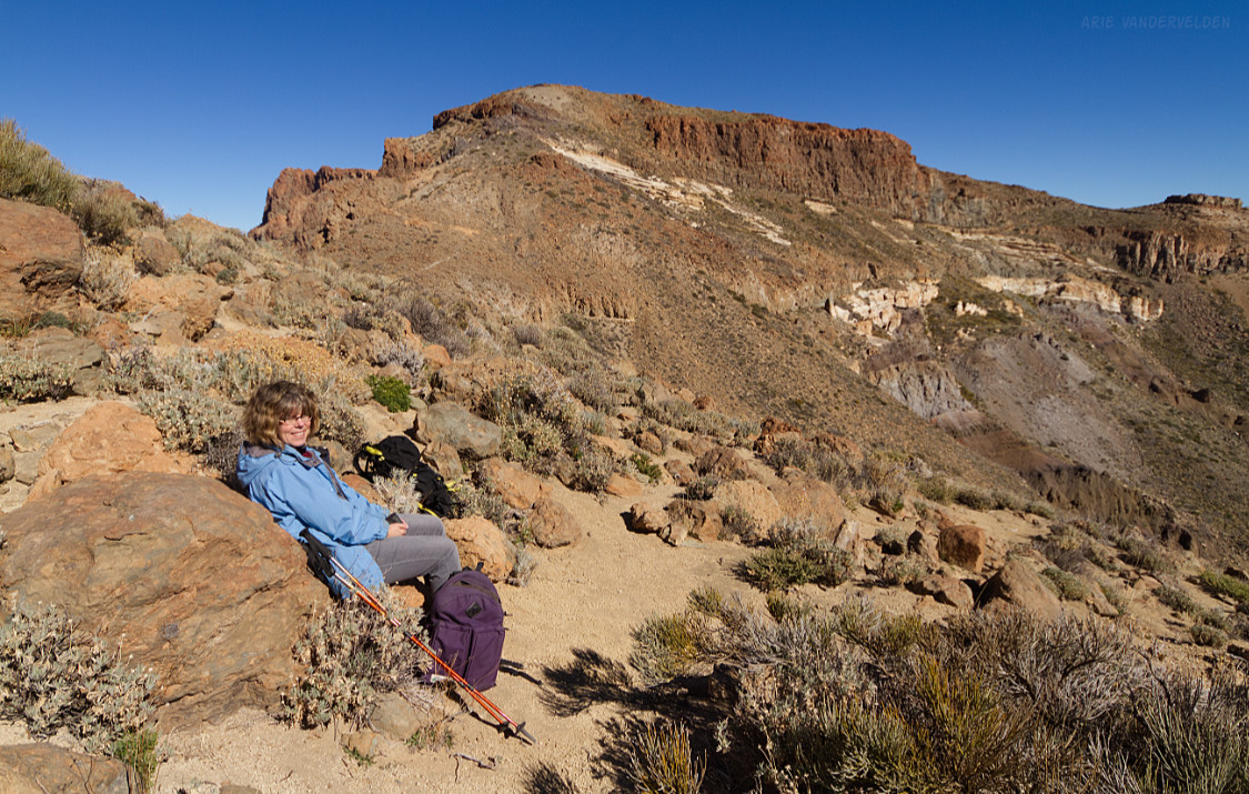
We stopped for a snack.
The trail leads onward, past rust-colored pillars of rock.
There are views all around in this desert-like landscape.
At these altitudes, in the middle of the Atlantic Ocean, the sky is an incredible deep blue color.
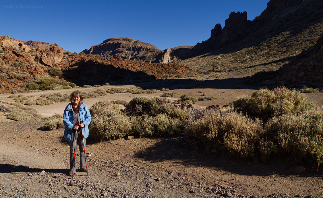
After about 3 km of walking on the exploration road there is a junction. A signpost points uphill.
Hiking uphill.
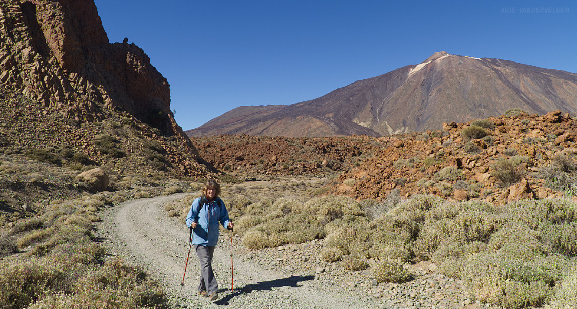
After gaining about 200 m of elevation, the trail reaches a saddle. There are spectacular views towards Teide from here.
The saddle is low spot on a crater rim called Las Cañadas, which runs for miles across the volcanic highlands of Tenerife. It’s the apron of a very large and much older stratovolcano. This gigantic volcano then collapsed, creating the caldera in which Teide grew.
From the saddle, the trail leads around the backside of Las Cañadas and keeps heading upwards. From this section of trail there are views of the Atlantic Ocean and of the island of Gran Canaria in the distance.
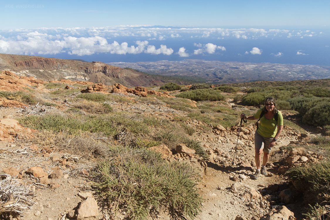
This section of trail is a bit of a grunt, with 300 m of elevation gain to go from the saddle. But it’s worth it because the views from the summit are tremendous.
From here, you can trace Teide’s individual lava flows from its summit crater to the valley below. This volcano is so young that hardly any erosion has taken place. Teide is the perfect stratovolcano.
For those contemplating an ascent of Teide, be aware that it’s about 1400 m up over a distance of 10 km, one-way. You won’t have the summit to yourself because a there’s cable car taking tourists up. In fact, hikers need a special permit to go beyond the upper cable car station to the true summit.
I like Guajara because it can easily be done in a day, it’s quiet, and Teide is in the view. After relaxing and soaking up the view we went back the way we came.
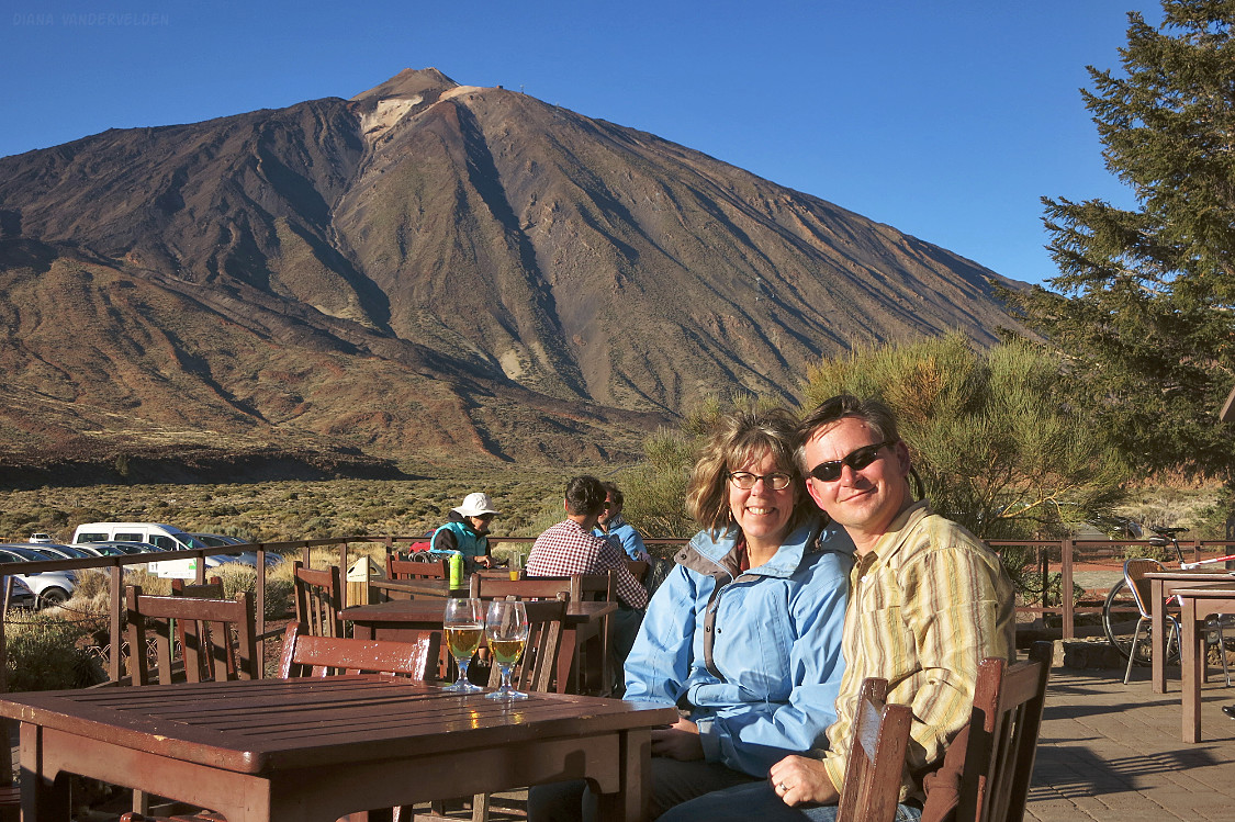
Back at the Parador, we enjoyed some ice-cold beers to slake our parched throats.
Accommodation
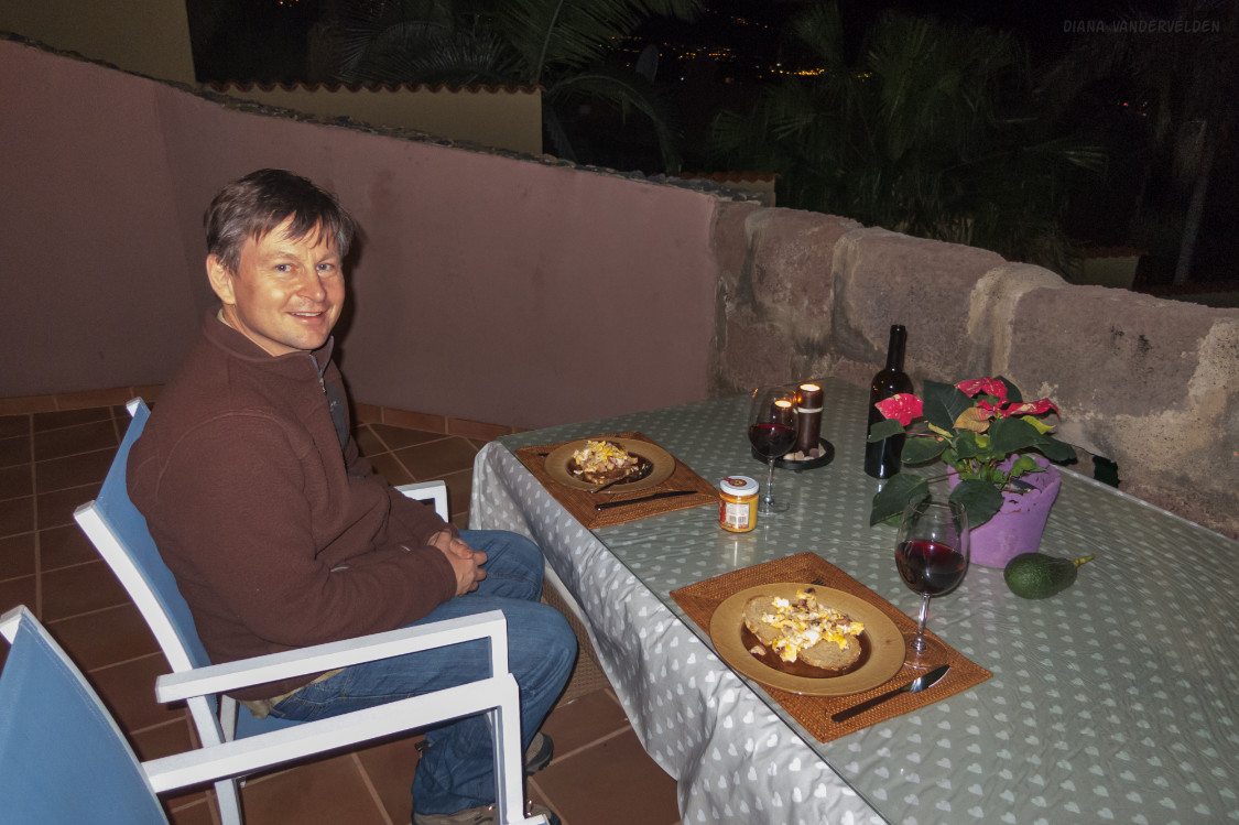
Tenerife is small enough that most places can be visited as daytrips from one strategic location. The first time we visited Tenerife we stayed near San Juan de las Ramblas on the north coast, and the second time we stayed near La Orotava. Both times we rented a casita, a small holiday home/cabin with a kitchenette and a private patio space. Compared to a hotel room, it’s nice to have a bit of space if you’re staying in one place for a week.
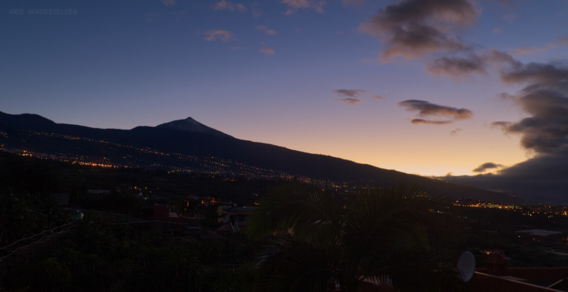
Our casita near La Orotava had a rooftop patio from where there were views of the sea, La Orotava Valley, and the summit of Teide. After a day of hiking, we’d sit up there to watch the sunset.
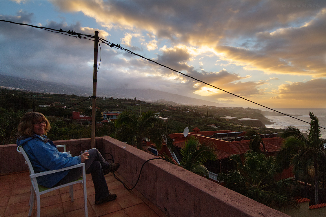
The views of La Orotava valley were extensive. It’s a densely populated area, yet it is green with many small plots of farmland. Many plants and crops thrive in the volcanic soil. At times the summit of Teide peeked out from behind the clouds.
At sunset we watched the lights come on in the many houses of the La Orotava valley.
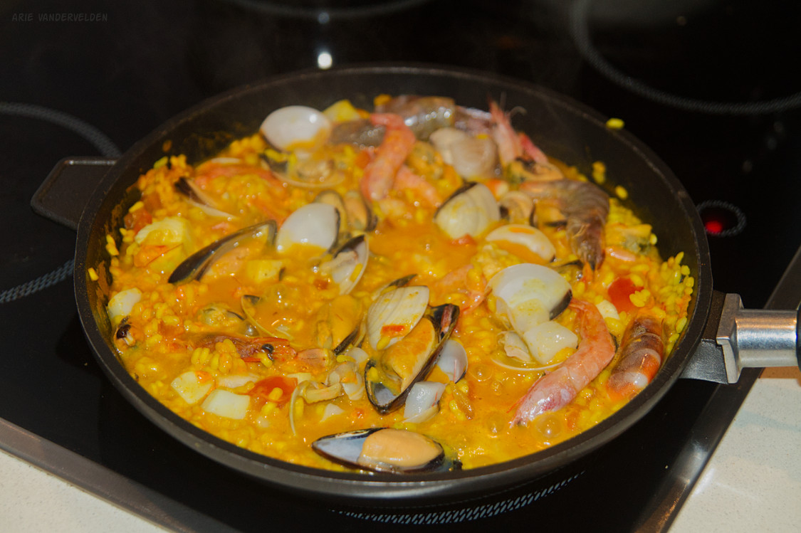
We used our kitchenette quite a bit, cooking up Spanish dishes like seafood paella, for which ingredients were readily available.
To the beach
Tenerife is a volcanic island, and most of its coastline is rugged. On the north shore there are some small black-sand beaches with heavy Atlantic surf, and on the south coast are some beaches that are heavily overdeveloped.
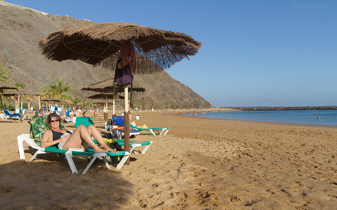
The beach we liked is called Playa Teresitas. It’s an artificial beach, with sand brought in from the nearby Sahara Desert. The beach is protected by a breakwater, so there is nice protected swimming.
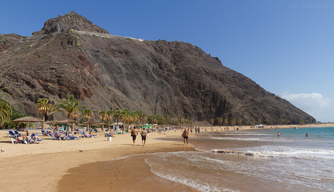
This beach has a very local vibe, and most people here are either locals or Spanish mainland tourists.
To reach Playa Teresitas one must drive through Santa Cruz de Tenerife, a busy city, and then past the smelly refinery on the edge of town. Don’t be deterred; the beach is worth it.
At the rear of the beach are some stands selling snacks and refreshments. The thing to get here are papas arrugadas, which are Canarian wrinkly potatoes, doused with Canarian mojo sauce, a zesty mix of spices. Canarian mojo sauce comes in several different flavours. I suggest trying them all! You can buy mojo sauce prepared or as a dried spice mix, which makes a nice souvenir. Papas arrugadas can be salty, and I like washing it down with a cold local draught beer.
The first time we visited Tenerife was in November. Although refreshing, the water was still warm enough for swimming. Our second visit was in January during a cold spell and it was too cold to swim.
Continue to part 2 of this series.
Logistics
Tenerife is a four- or five-hour flight from cities in northern Europe. Many discount airlines ply the route, and we managed to score some very cheap tickets both times we went.
I suggest renting a car. Tenerife is a car-crazy place with pavement everywhere. There are wide multi-lane highways where you can zip around the island quickly. I found myself in the left lane a lot, passing slow traffic. Tenerife also has many narrow country roads with tight and steep switchbacks. Gasoline is very cheap.
As mentioned above, I suggest renting a casita on the north side of the island. Given the geography of the island, getting an ocean view is quite easy.
Groceries on Tenerife are cheap. If possible get your fruit from a local vendor – it’ll be local and ripe.
We had our car radio tuned to Mega Latina, broadcasting from La Laguna, Tenerife. You can listen online as well.