Petra is one of the most spectacular archeological sites in the world. It’s a Unesco world heritage site, and is considered to be one of the seven wonders of the modern world. I have wanted to go to Petra for a long time, and in April of 2014 we took the plunge and flew to Amman, Jordan.
History
Petra was a city built (and carved out) by the Nabateans, Arabic tribe who settled here in the 6th century BC. The Nabateans were traders who transported goods between the Red Sea and Mediterranean. Petra’s population peaked around the year zero, when up to 30,000 people lived here. So, the three kings who stopped by Jesus’ manger may have been Nabatean traders who frequently stopped in Petra.
Roman emperor Trajan seized Petra in 106 AD, and the region became known as the Roman province of Arabia Petraea. The Nabateans got along well with the Romans, and Nabatean culture flourished for several more centuries. The Romans left their mark by building temples, an amphitheater, and other structures.
In Byzantine times Petra waned and eventually fell into oblivion. For centuries it was known only to a few nomadic Bedouin, who kept its location a closely guarded secret. Petra was “rediscovered” in 1812 by J.L. Burckhardt, a Swiss explorer who had disguised himself as an Arabic pilgrim.
The Siq
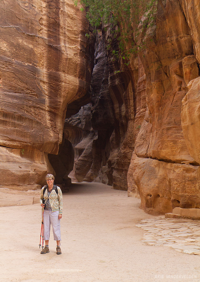
Trips to Petra start in the gateway town of Wadi Musa, about 250 km south of Amman. We stayed here for three nights, allowing us two full days to explore Petra. On our first day of hiking we got up early and drove down to the visitor center. We parked, bought entrance tickets, and started hiking down the trail.
The trail begins by descending a wide riverbed. After about a kilometer the trail turns into a narrow side-canyon. This is the famous Siq, the portal to Petra.
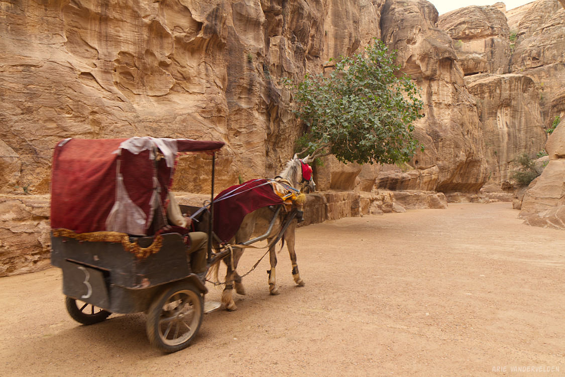
As you can see, some tourists use a horse-and-buggy to get to Petra. We walked and enjoyed our surroundings. Soon, the canyon walls close in.
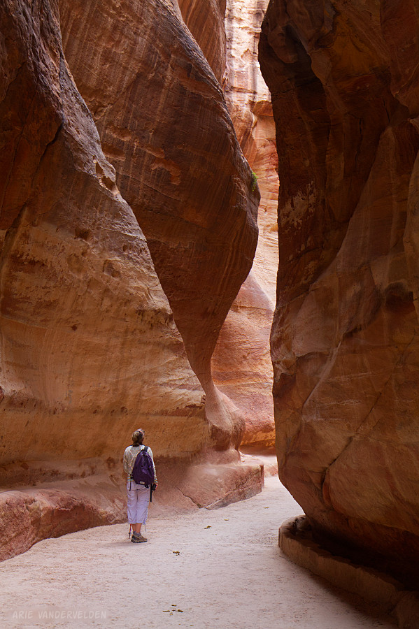
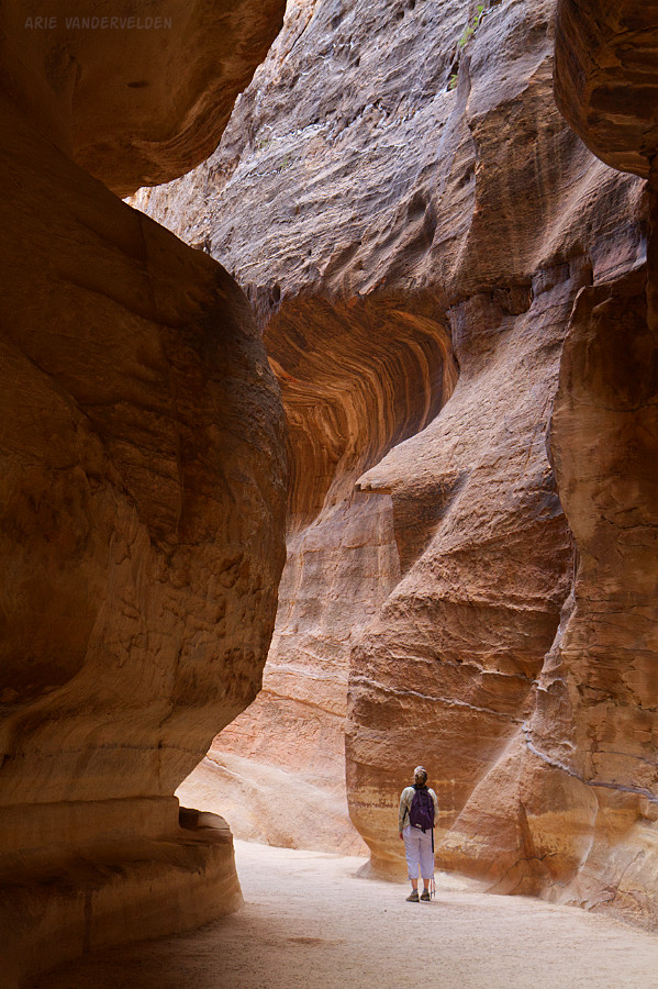
The canyon walls are made out of a beautiful red sandstone, causing the canyon to resemble one in the US desert.
Carved in the sides of the canyon is a channel, which would have provided water to travelers and the inhabitants of Petra, back in the day.
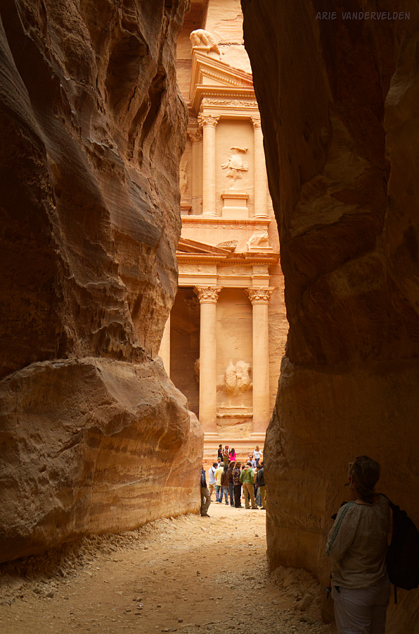
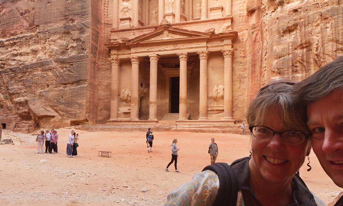
As you hike along the Siq becomes deeper and deeper, and the light becomes ever more dim. After about 1.2 km of walking in the Siq, the first glimpses of The Treasury suddenly reveal themselves.
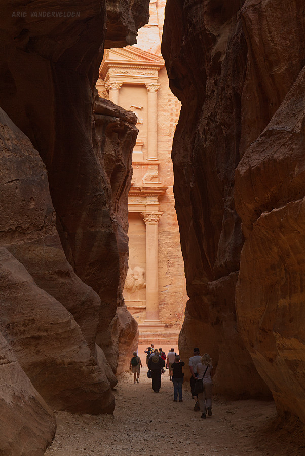
The Treasury bathed in the early morning light is a jaw-dropping sight. We gasped with awe and proceeded to take lots of pictures. We felt like explorers even though there were many people around.
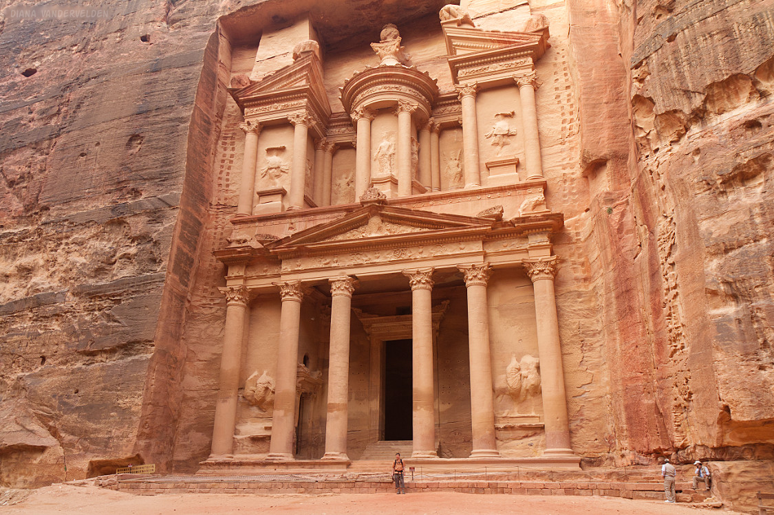
The Treasury
The Treasury is Petra‘s most famous sight. In essence it is a Greek-style temple, with huge columns and a triangular roof, not made of stacked stones but carved out of the red sandstone.
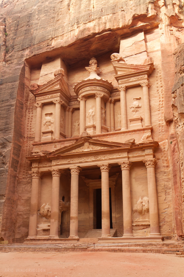
The Treasury is called Al Khazneh In Arabic, and thought to contain the tomb of Nabatean king Aretas IV Philopatris. The Treasury is huge – that’s me in front of the temple for scale.
Time for a selfie.
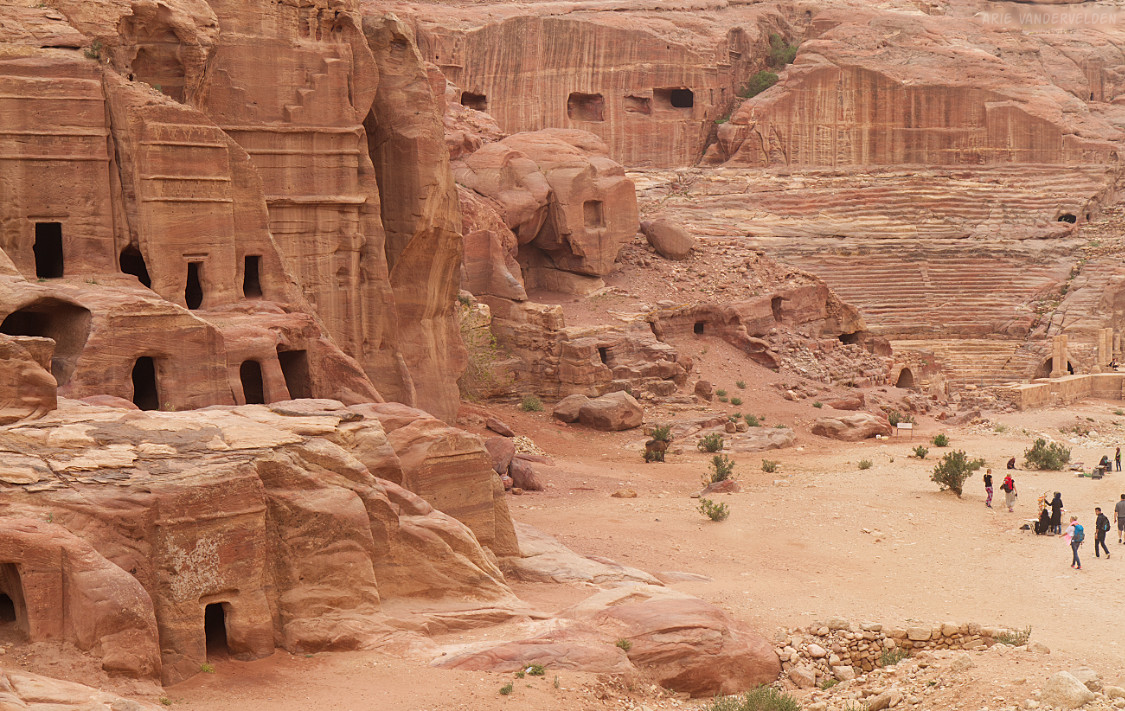
Beyond the Treasury, a wide canyon leads onward. The walls of the canyon are honeycombed with tombs. These tombs are smaller and more weathered than the Treasury. There is also a Roman-looking amphitheater that was actually built by the Nabateans.
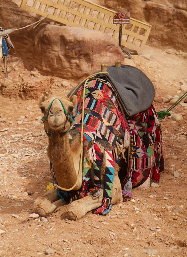
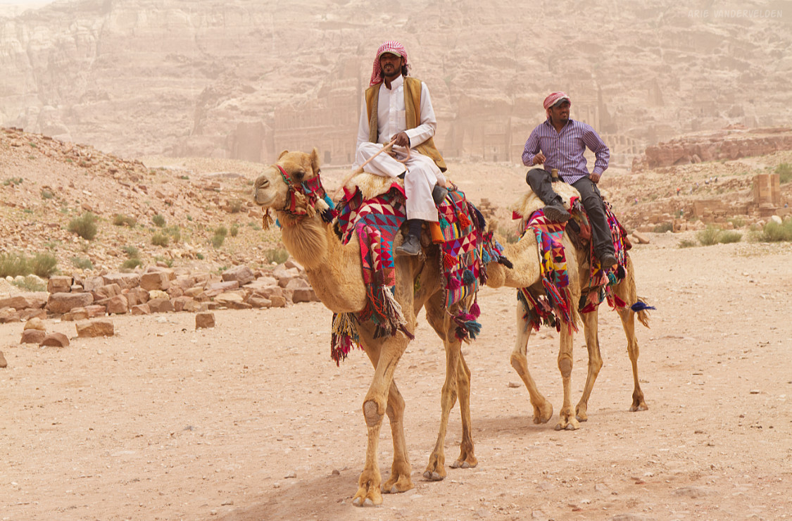
Nearby are Bedouin who offer camel rides to tourists.
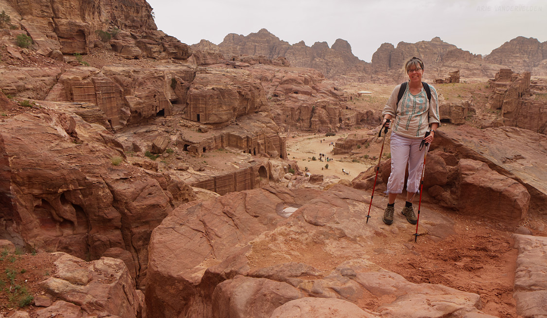
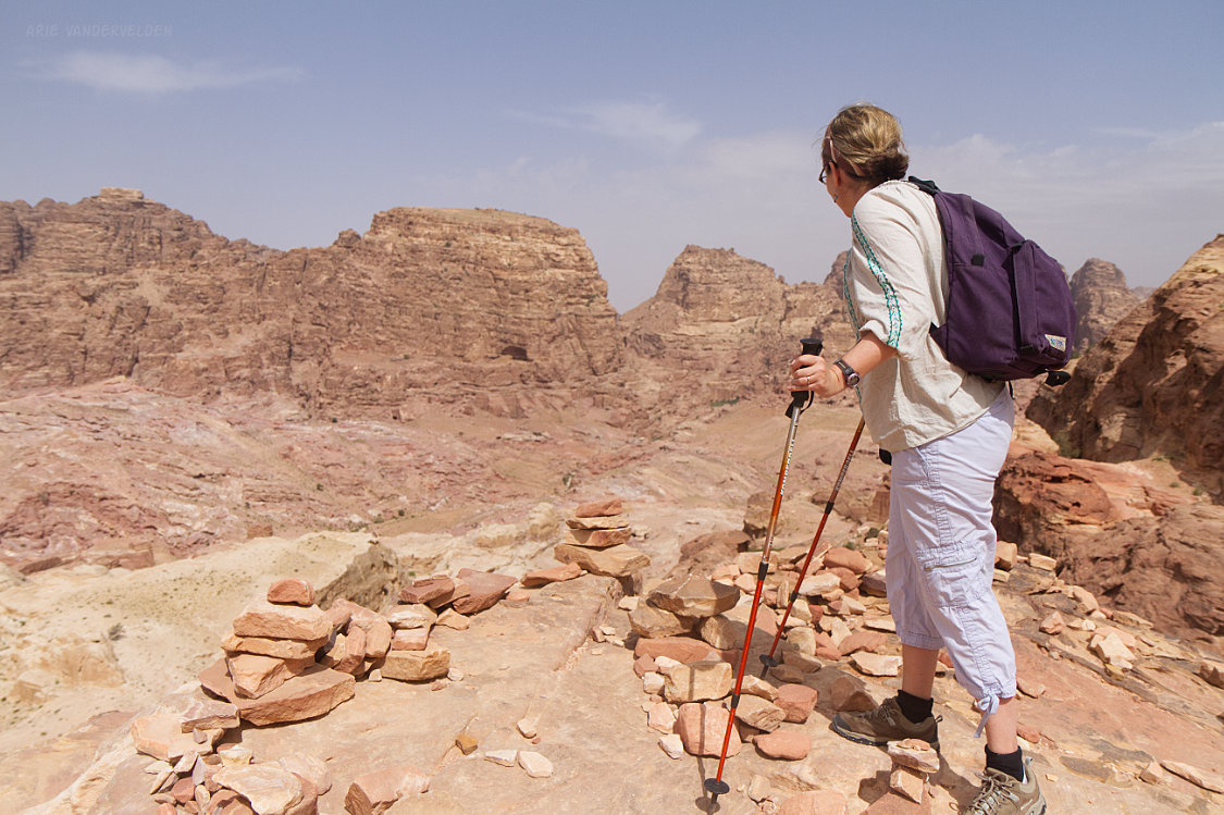
We skipped the camel rides and instead we climbed upwards, to a place called the High Place of Sacrifice. We didn’t see much here in terms of archeological structures, but there is a great view of the surrounding area.
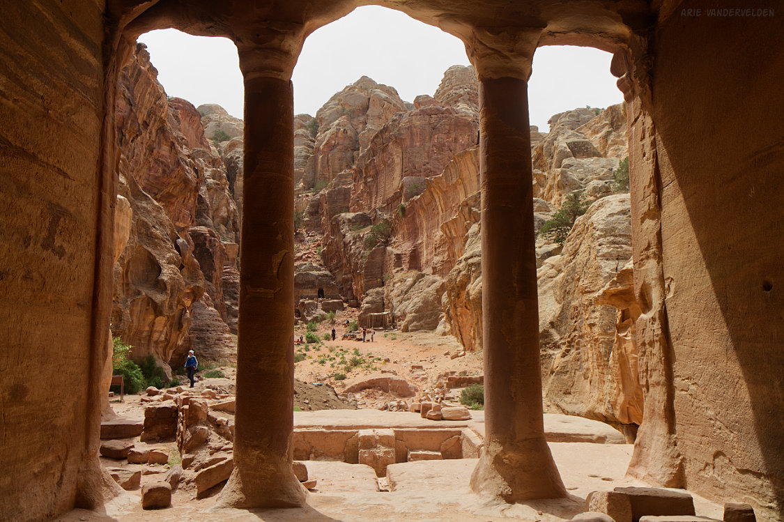
Wadi Al Farasa
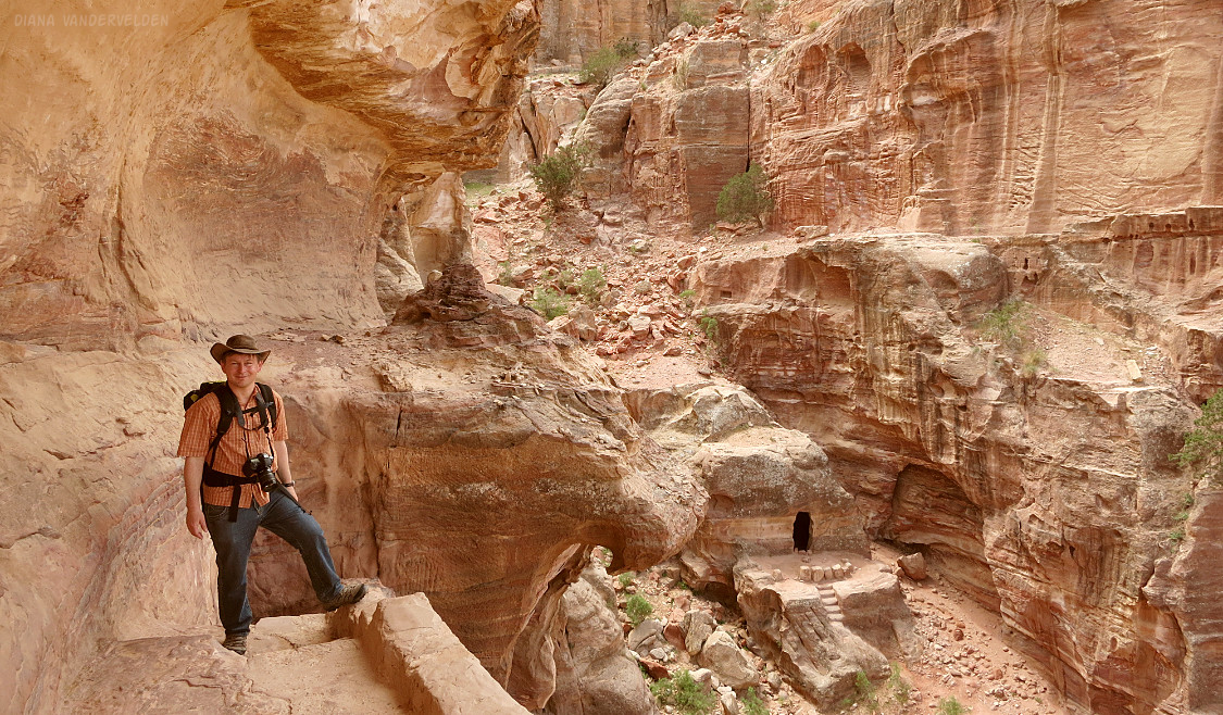
The High Place of Sacrifice is located on a pass, and on the other side of the pass is a valley called Wadi Al Farasa. Here, Diana scouts the way down.
The way down into Wadi Al Farasa is down a very steep trail.
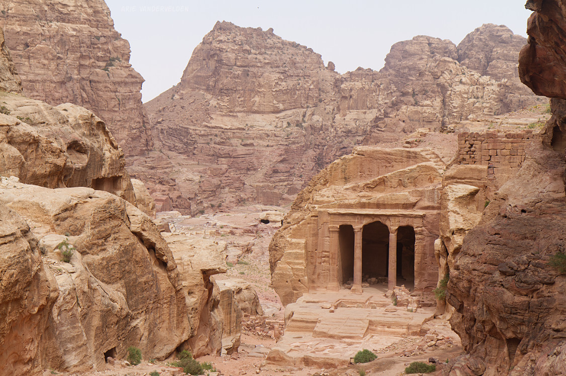
The trail levels off into a pretty hanging valley with two structures: Garden Temple and Soldier Tomb. We examined Garden Temple first.
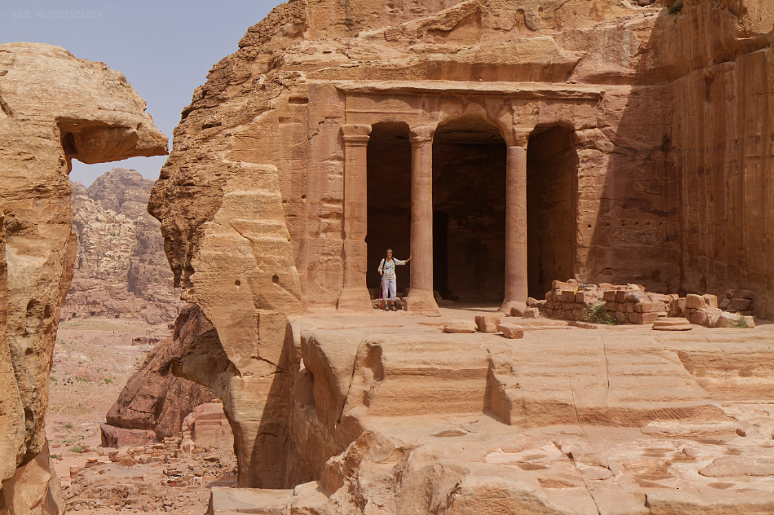
Here is Diana at Garden Temple.
Looking back uphill.
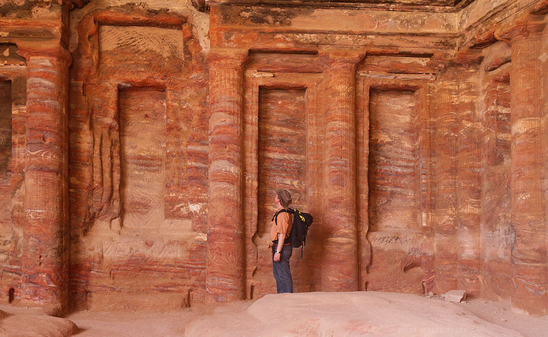
Soldier Tomb is located just a bit downhill.
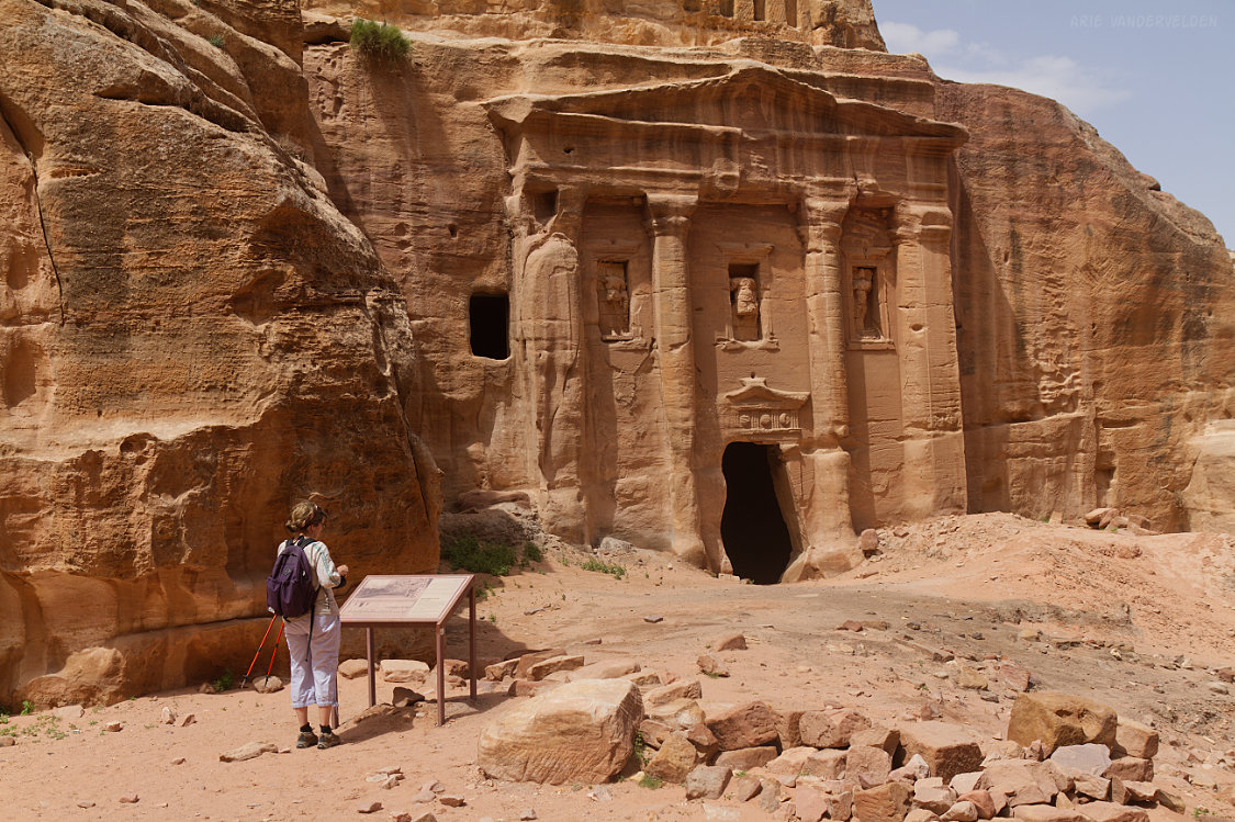
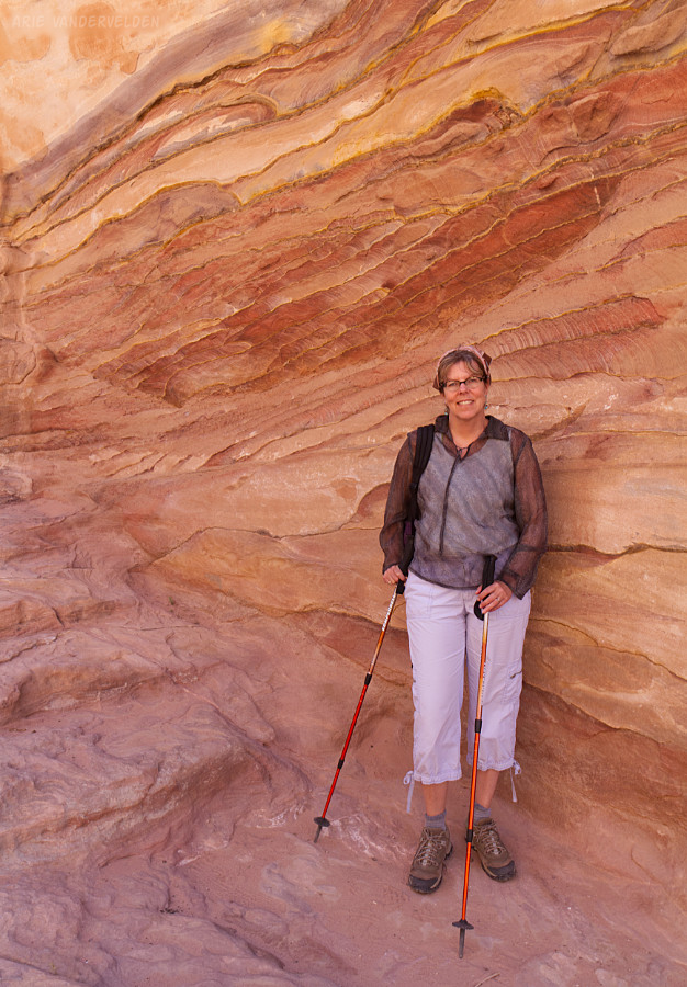
Most of the tombs we visited were unadorned square rooms, but Soldier Tomb had interior walls carved with columns and niches.
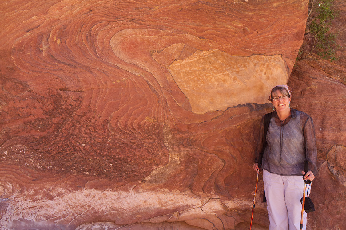
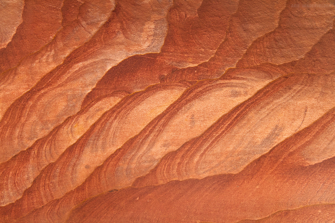
Geology
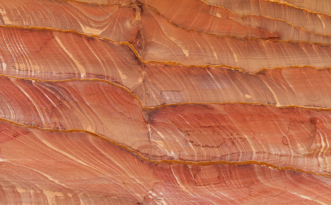
The inside of the tombs was a good place to examine some of the fascinating geology of Petra. The rock that forms the canyons and tombs is the late Cambrian sandstone of the Umm Ishrin Formation. In nearby Wadi Rum the unconformity between the sandstone and the underlying Precambrian basement rocks is exposed. The sands were deposited by river systems, which resulted in cross bedding. In many places the bedding is not visible due to effects associated with fluid flow through the rocks. One curious set of structures that is visible in the rocks are referred to as Liesegang rings. Their origins are not well understood.
Center of Petra
Past the Treasury, a wide canyon leads to the center of Petra. The bottom of the Wadi Al-Farasa trail also leads to here.
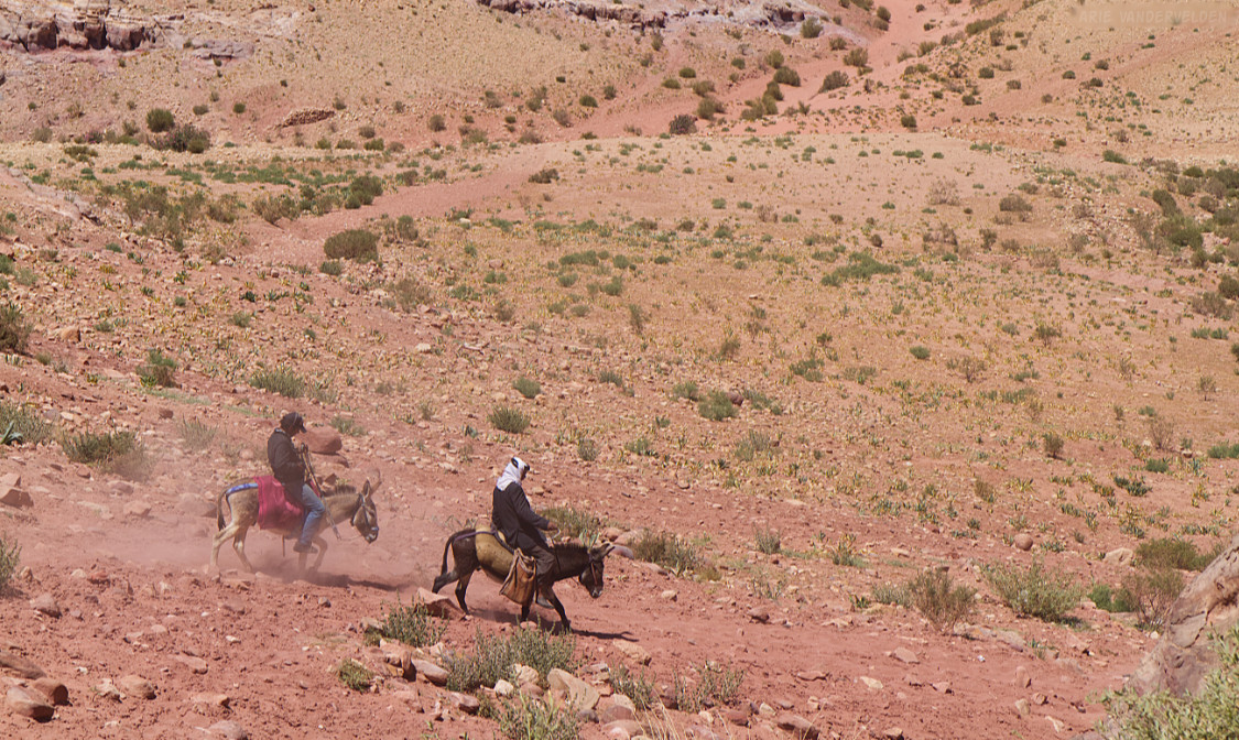
There were quite a few Bedouin with their camels in this area.
Other Bedouin ride donkeys.
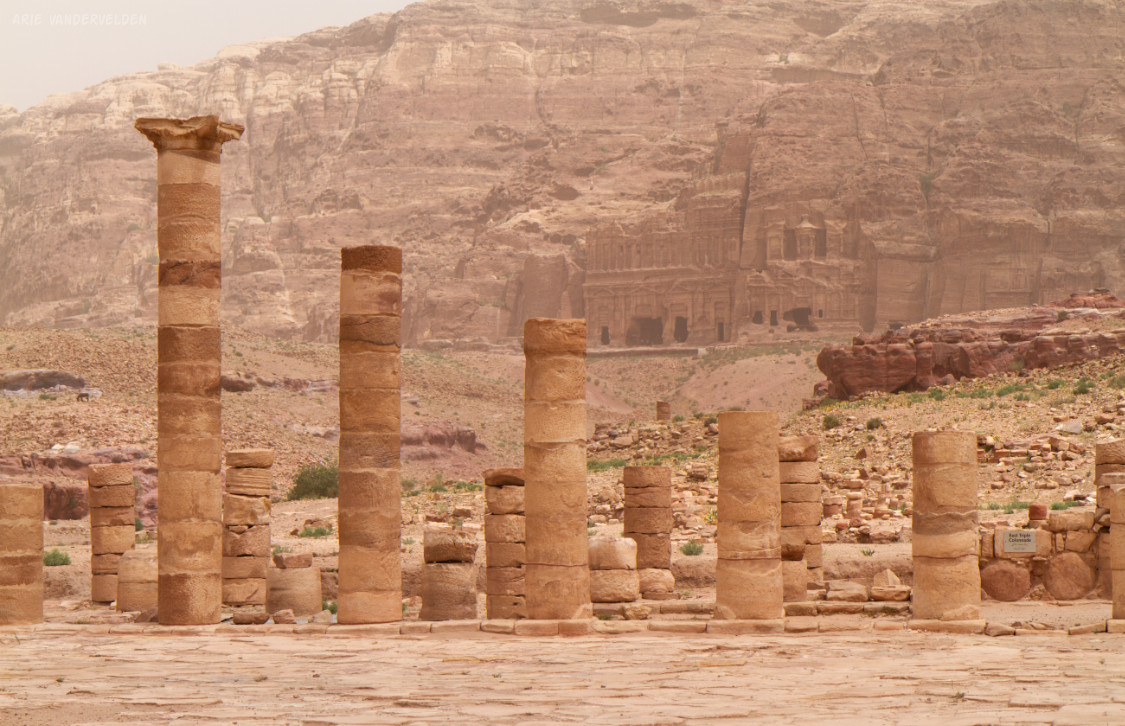
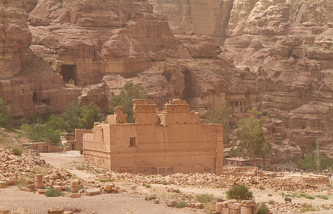
One structure that is still standing, after many earthquakes, is a temple called Qasr Al-Bint.
By now we were running out of time. We hiked back to the Treasury, up the Siq, and back to the parking lot.
Read about our second day of hiking, in which we hike up the Al-Khubtha trail, and we climb up to the Monastery.