
This is part two of our Cleveland Way hike. Go back to part 1.
Whitby to Runswick Bay
From our apartment in Whitby, we walked down to the harbour front and then onto Whitby Beach.
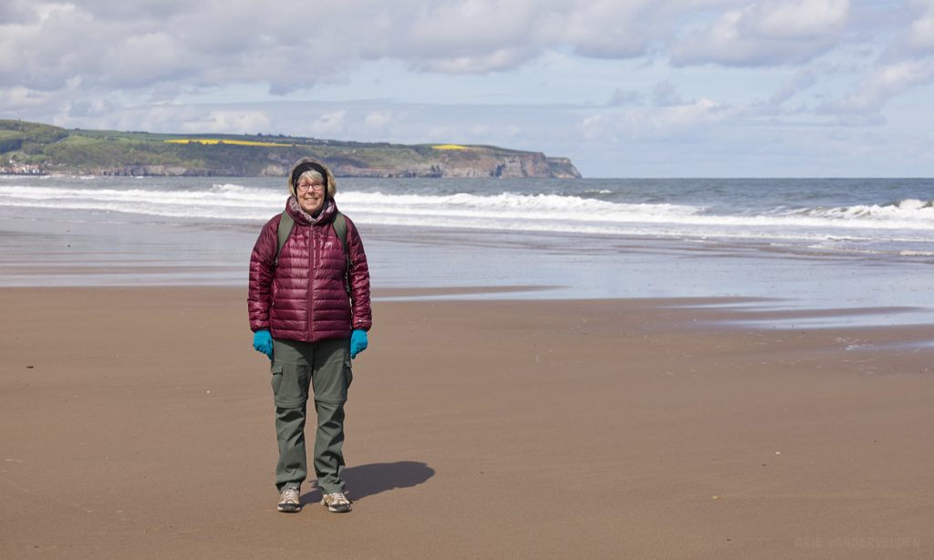
Whitby Beach is a beautiful stretch of sand. A short distance ahead, the beach is very narrow at high tide and we elected to hike the esplanade, where colorful beach huts face out to sea.
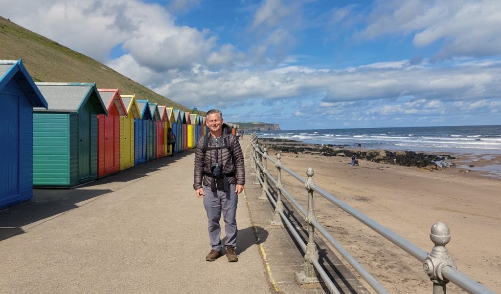
At the end of the esplanade we continued on Sandsend Beach.
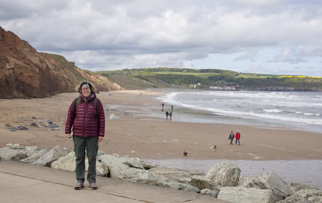
The beach ends at – you guessed it – Sandsend.
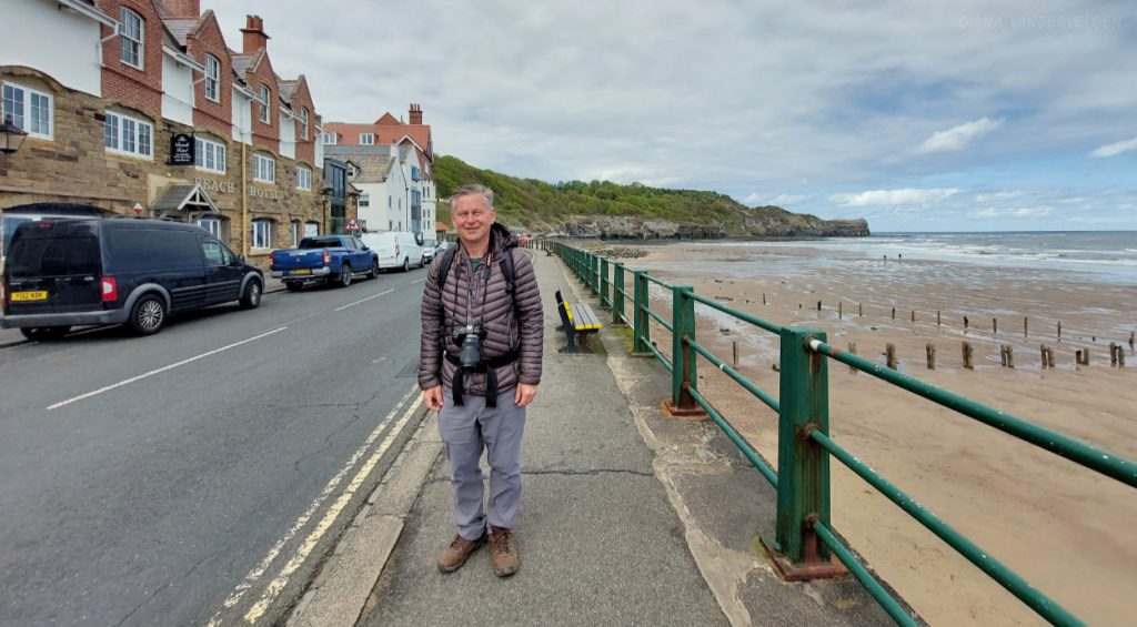
Pretty Sandsend.
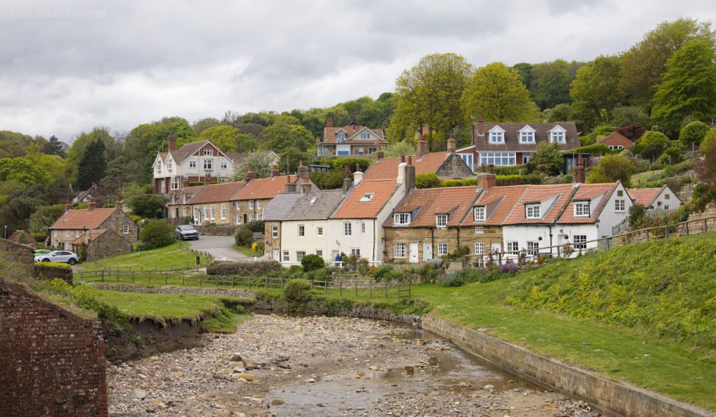
An old railway grade continued on towards the north.
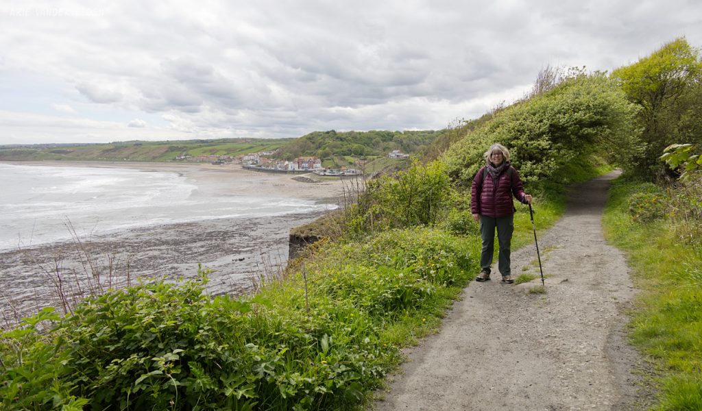
We followed the railway grade to a blocked-off tunnel.
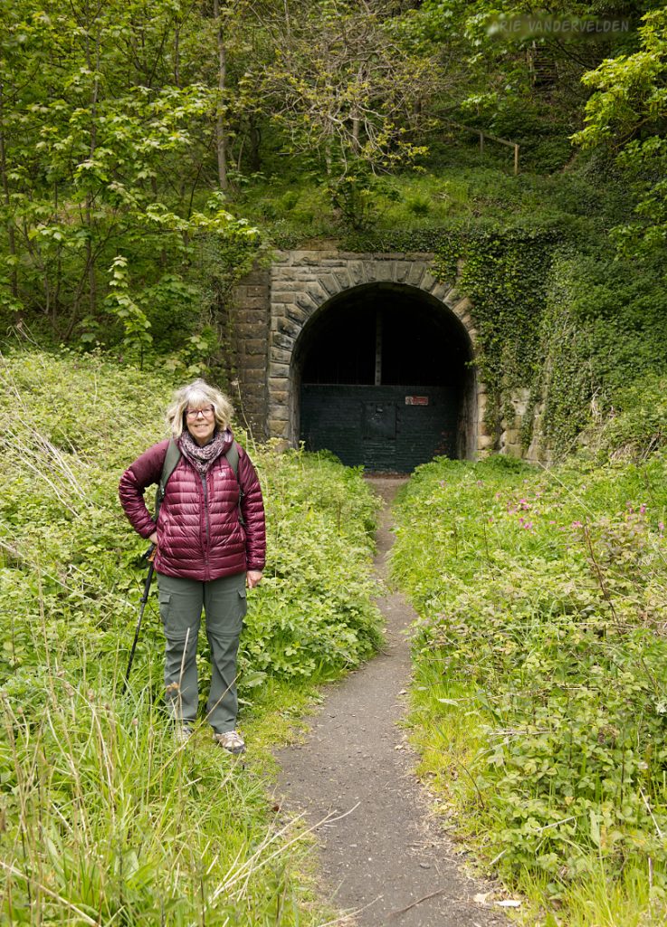
A steep path climbed up the slope above the tunnel entrance.
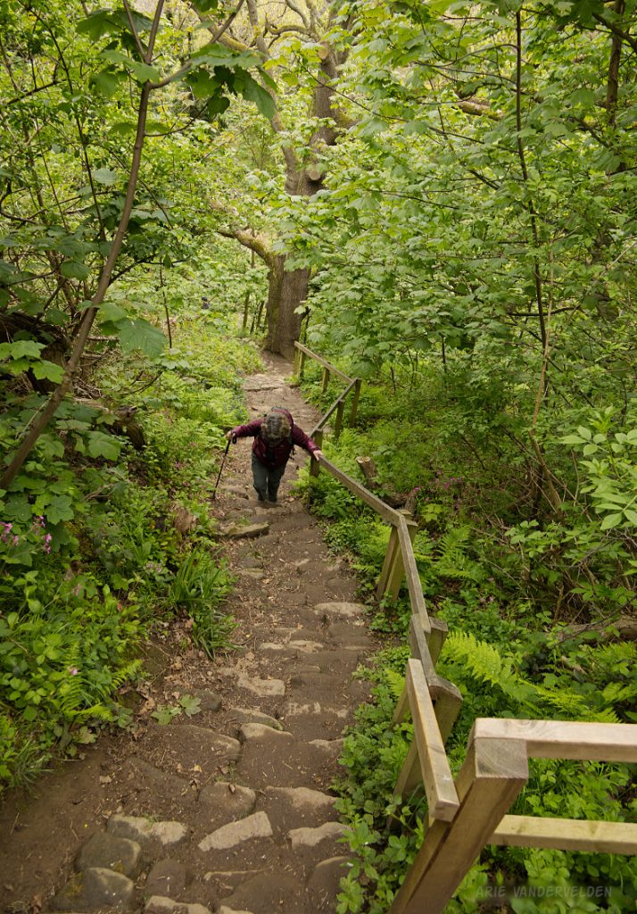
The trail topped out, unexpectedly, at a canola (rapeseed) field.
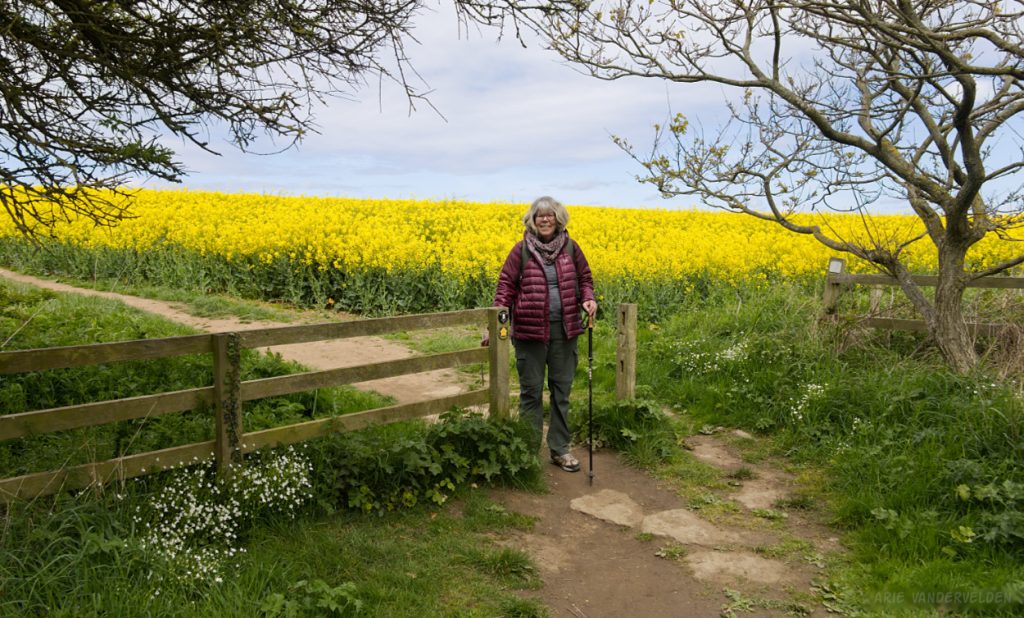
The trail continued along the clifftops, past more canola fields.

The sun came out, and we stowed away our puffy jackets.
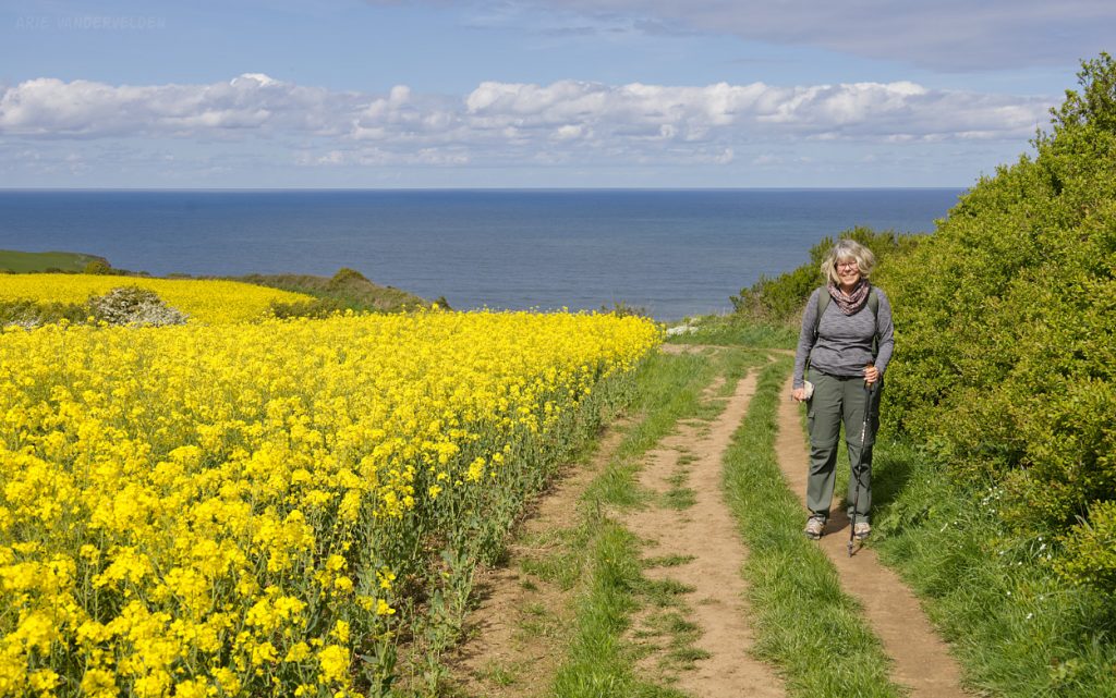
Diana hiking past Kettleness Point.
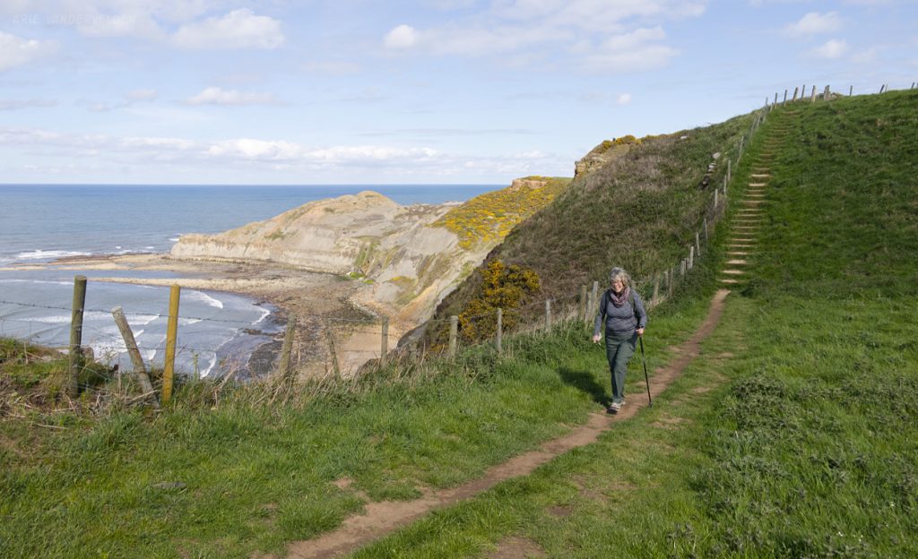
At this point we had been looking for a while for place to have lunch. We couldn’t find a bench so we plunked down in the grass. Of course, after we finished our lunch and continued on, there were about six or eight benches less than 100 m up the trail. Go figure. No matter – our spot in the grass had a great view.

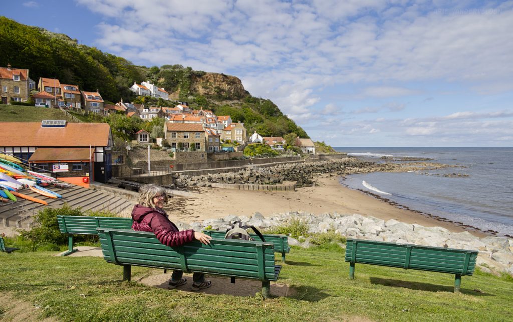
View of Runswick Bay, our destination for the day.

A steep trail through a gully led down to Runswick Bay Beach.
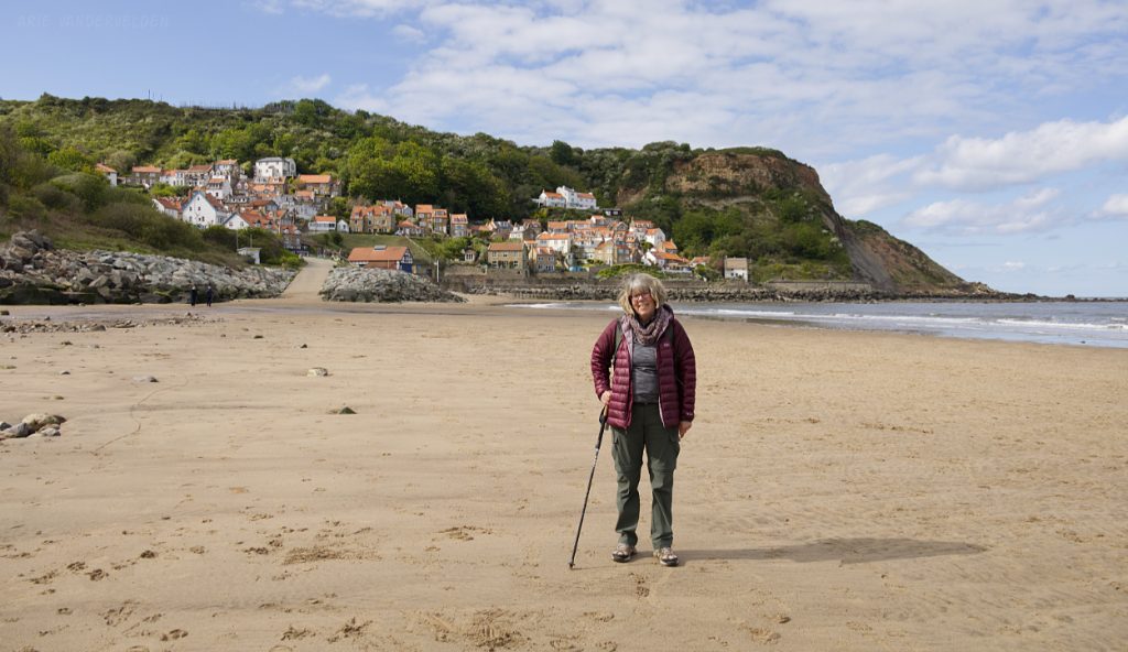
We walked down the beach to the village, where we enjoyed some sunshine before taking a bus back to Whitby.
Runswick Bay to Skinningrove
The next day we took a bus back to Runswick Bay and continued hiking towards the north. The trail followed the cliff tops, passing Port Mulgrave.
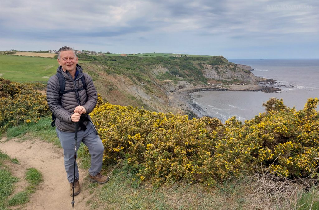
The clifftop hike had far-reaching views out to sea.

We were approaching Staithes (pronounced as “Steers” by locals). Staithes is a quaint fishing village wedged in a narrow valley between steep coastal cliffs. A colony of kittiwakes occupy ledges on the cliff beside the village (center of the picture). The hill in the distance is Boulby Cliffs, the highest point on the east coast of England.
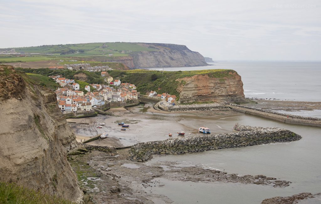
Entering Staithes from the south.
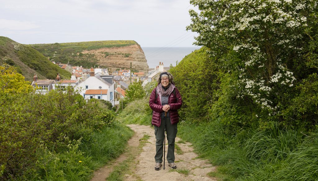
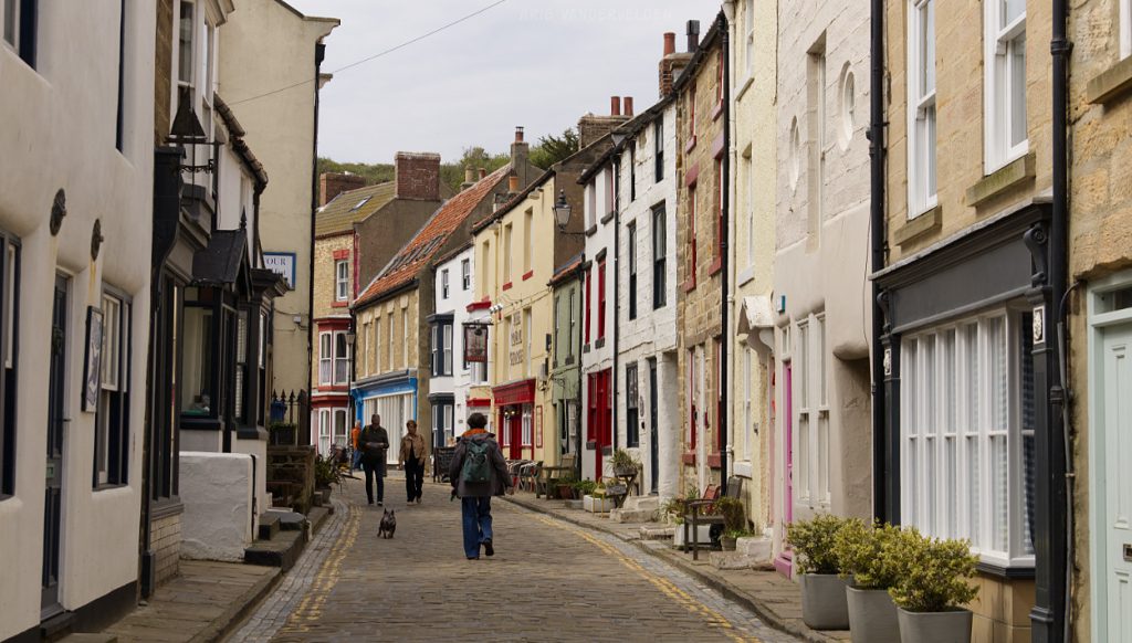
Staithes’ cobblestone streets.
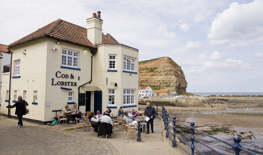
We had lunch at the Cod and Lobster, the harbourfront pub.
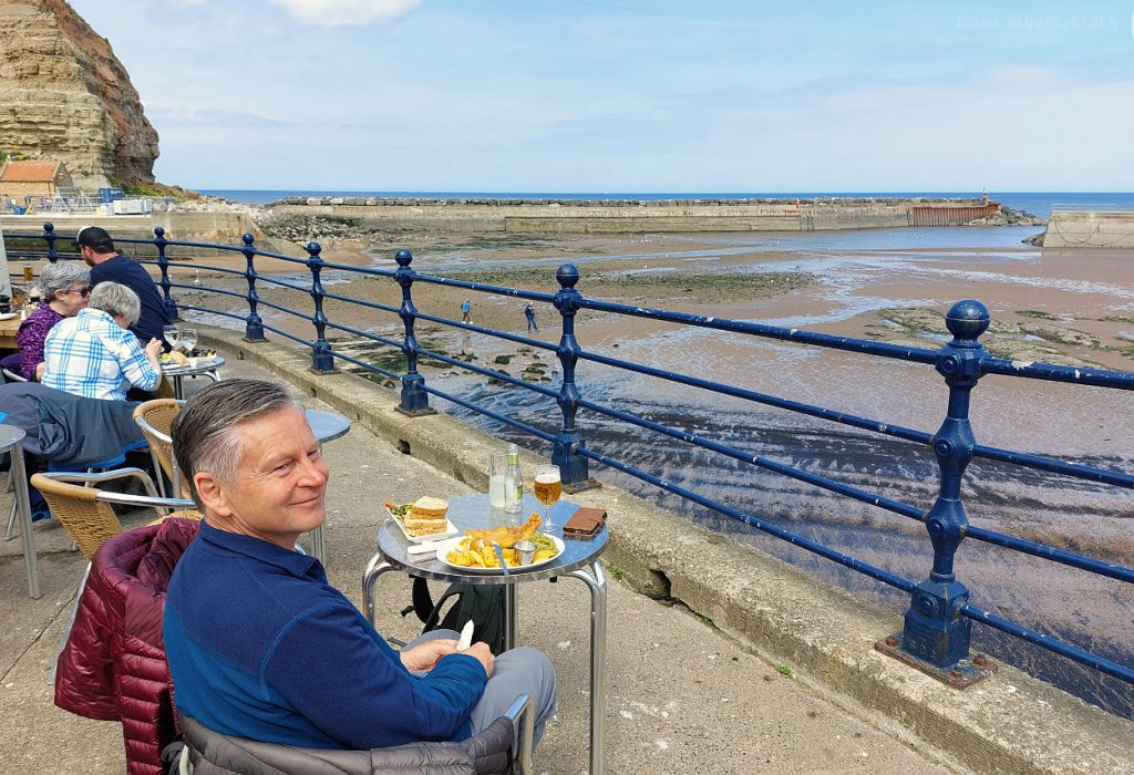
I had the fish and chips, Diana the crab sandwich. Proper job.
After lunch we continued on. The route led along scenic Staithes Beck.

Dory at low tide.

View back towards pretty Staithes.

North of Staithes we encountered a sculpture that honours this region’s mining history. Mining began in the 17th to 19th centuries with the production of alum, a substance used to fix dyes in cloth. Alum was made by boiling a local type of shale in human urine, which contains ammonia. Imagine the smell… The 19th and early 20th centuries were the heydays of Jurassic ironstone mining in this area. There is a museum in Skinningrove dedicated to ironstone mining (closed for renovations when we were in the area). In the 20th century, Permian potash production started from the Boulby mine near Staithes. In the 21st century the potash deposits became depleted, and the mine now produces polyhalite, a mineral containing potassium, calcium, magnesium, and sulphur. These minerals are used for agricultural fertilizers. Rock salt, used for melting snow on roads, is a byproduct. The mine is 1.1 km deep on average, and tunnels extend many miles beneath the North Sea.
I like this sculpture. It is immersive – you can sit down on the bench and have a cup of tea opposite the miner.
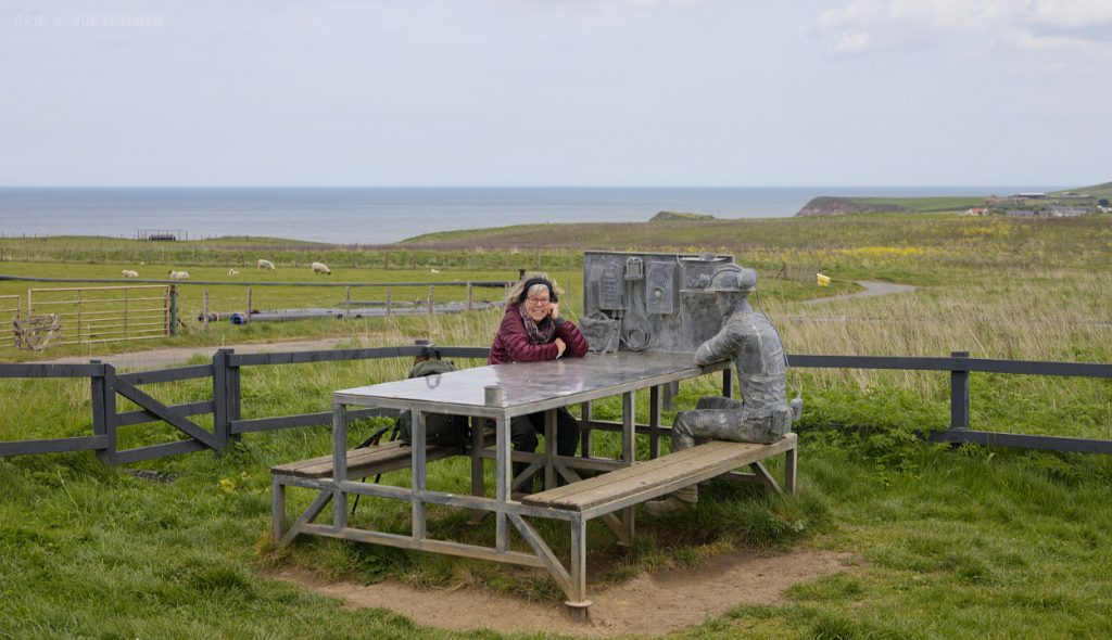
Note the mine buildings and smokestack in the distance behind the sculpture.

Ascending Boulby Cliffs. The views were extensive.
Descending towards Skinningrove.
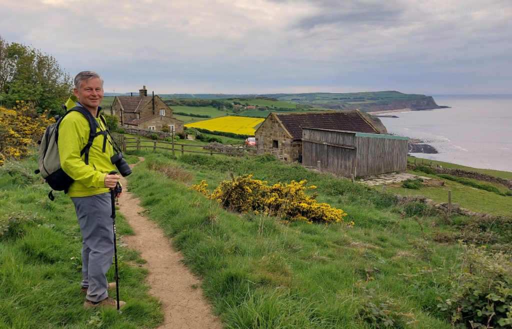
The trail went past a pretty stone farmhouse.
We ended our day at Skinningrove, from where we caught the bus back to Whitby.

Skinningrove to Saltburn-by-the-Sea
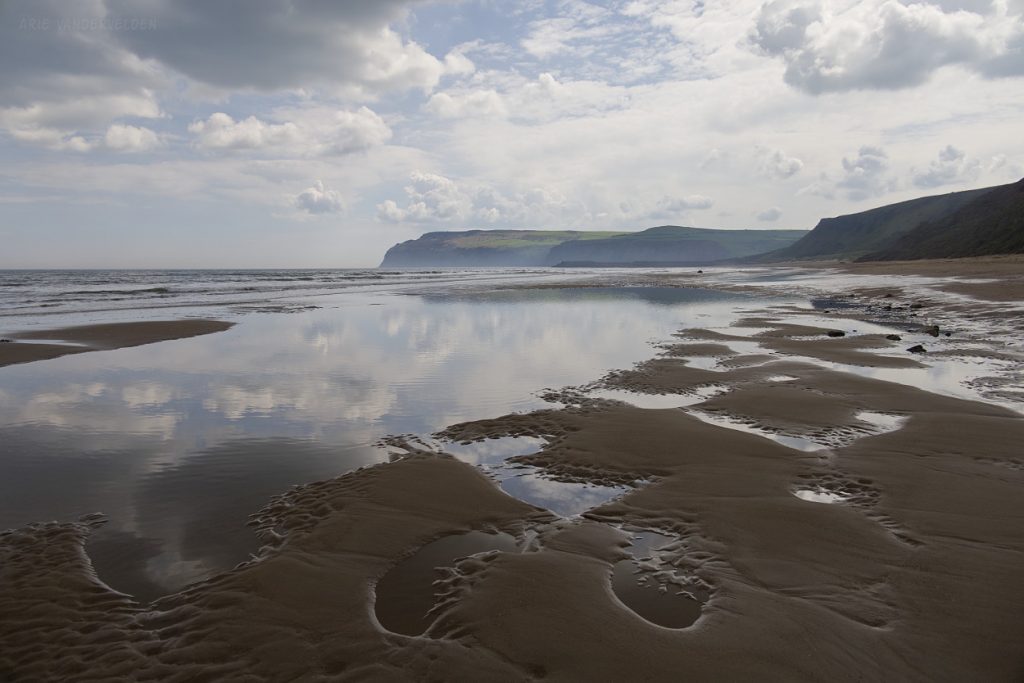
We returned the next day to Skinningrove. Before continuing on the Cleveland Way we walked up and down Skinningrove Beach. The light was very moody, which was great for photography.


Skinningrove Beach.

We crossed the headland between Skinningrove and Saltburn-by-the-Sea. Halfway along there was an interesting sculpture.

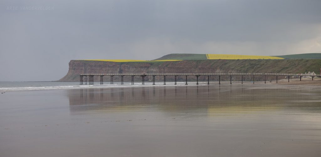
Looking towards Saltburn-by-the-Sea and its Victorian pier.
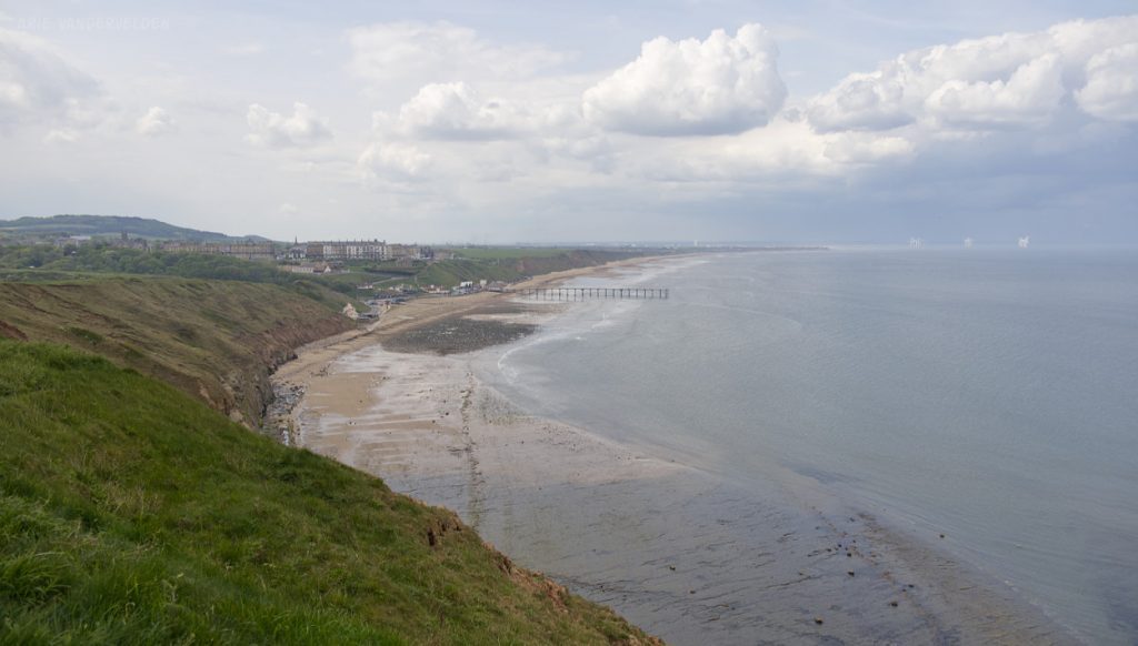
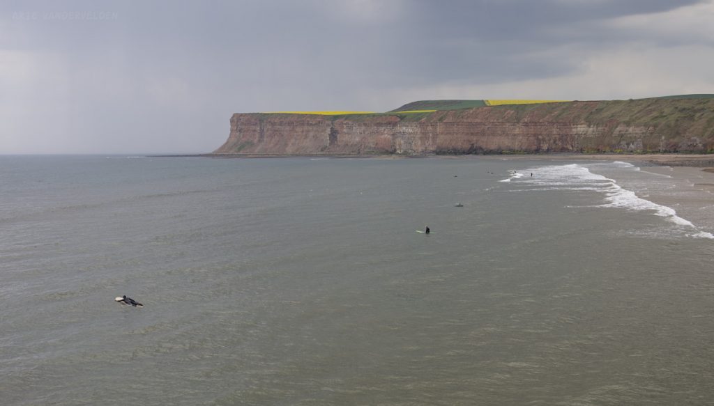
When we arrived in Saltburn, dark clouds were gathering. We managed to explore the pier before a torrential downpour sent us scuttling for cover.

Surfers were trying to catch some waves, but they didn’t have much to work with – the sea was calm.
Solitude.
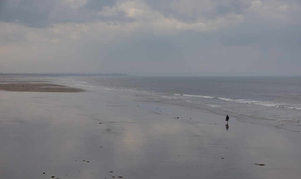
Wet sand was causing the pier to reflect.
Whitby to Robin Hoods Bay
We also hiked from Whitby in the opposite direction: to the south. Twice, in fact; first on a cloudy and windy day when we first arrived in Whitby, and then again on a sunny day later on in the week. We enjoyed our hike so much the first time around that we were keen on doing it again.
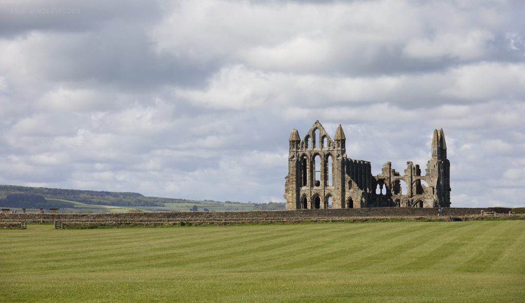
We began our hike by ascending the “199 steps” to Whitby Abbey.

Ruined Whitby Abbey sits on a windy and exposed headland. It’s quite a different setting compared to Rievalx Abbey which we visited earlier in our travels.
The trail follows the clifftops to a holiday park, where there is a side trail down to Saltwick Bay.
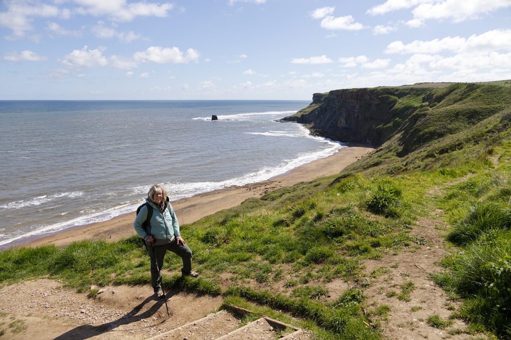
Saltwick Bay Beach.
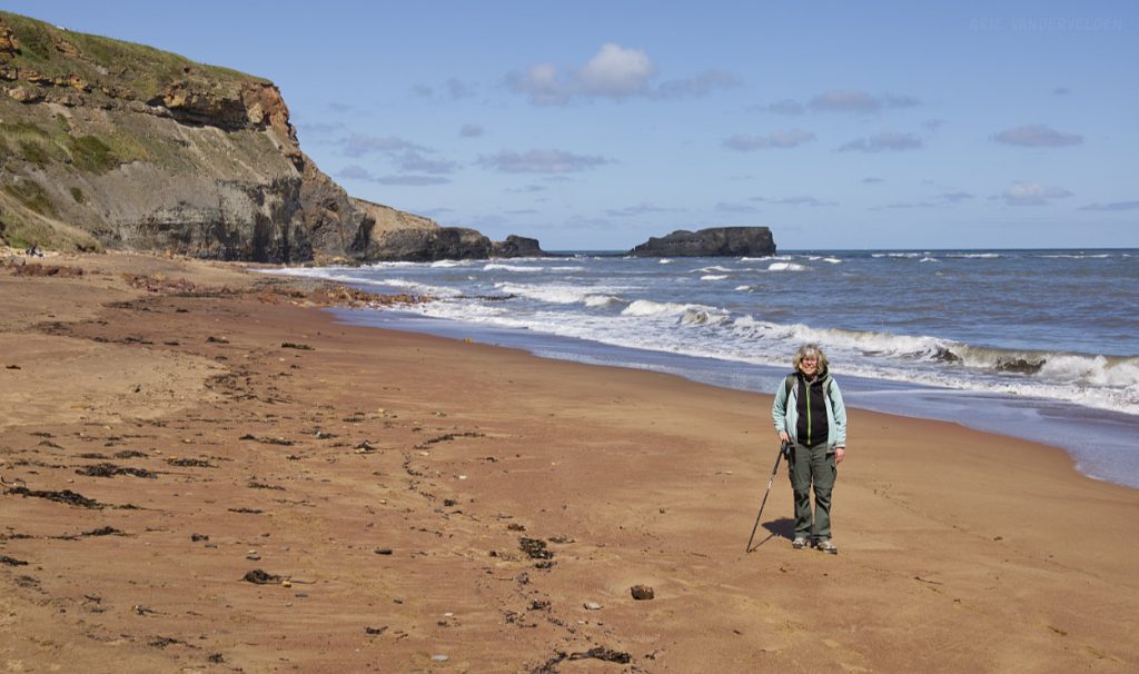
Pretty Saltwick Bay Beach.
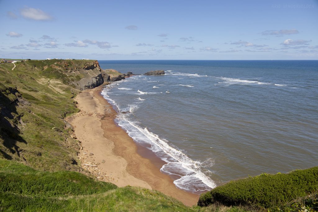
The hiking beyond Saltwick Bay was spectacular, with far-reaching views from the clifftops.
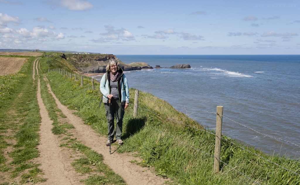
We passed a lighthouse.
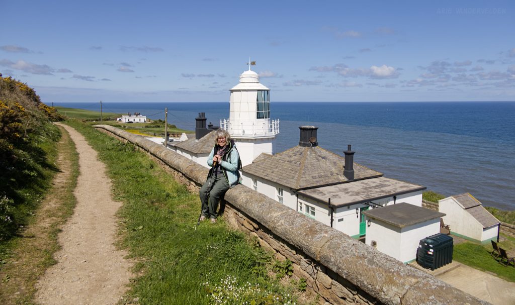
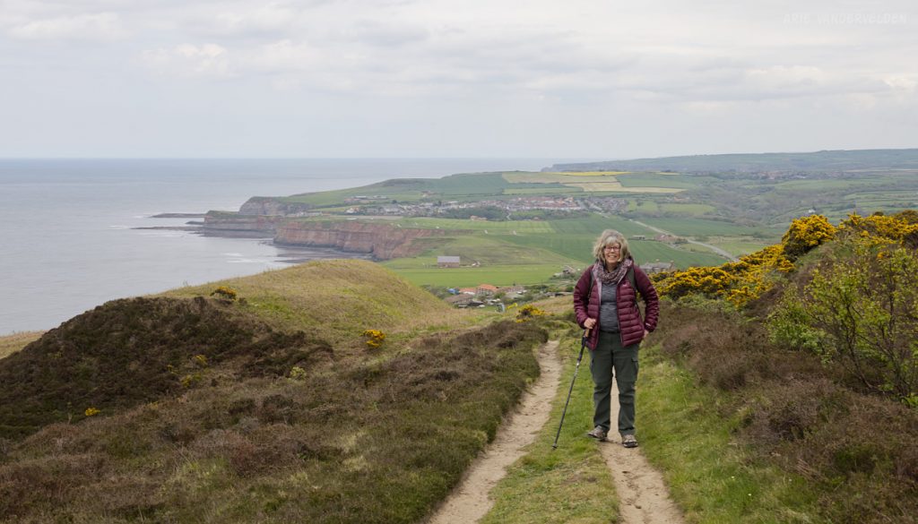
Hiking the Cleveland Way.
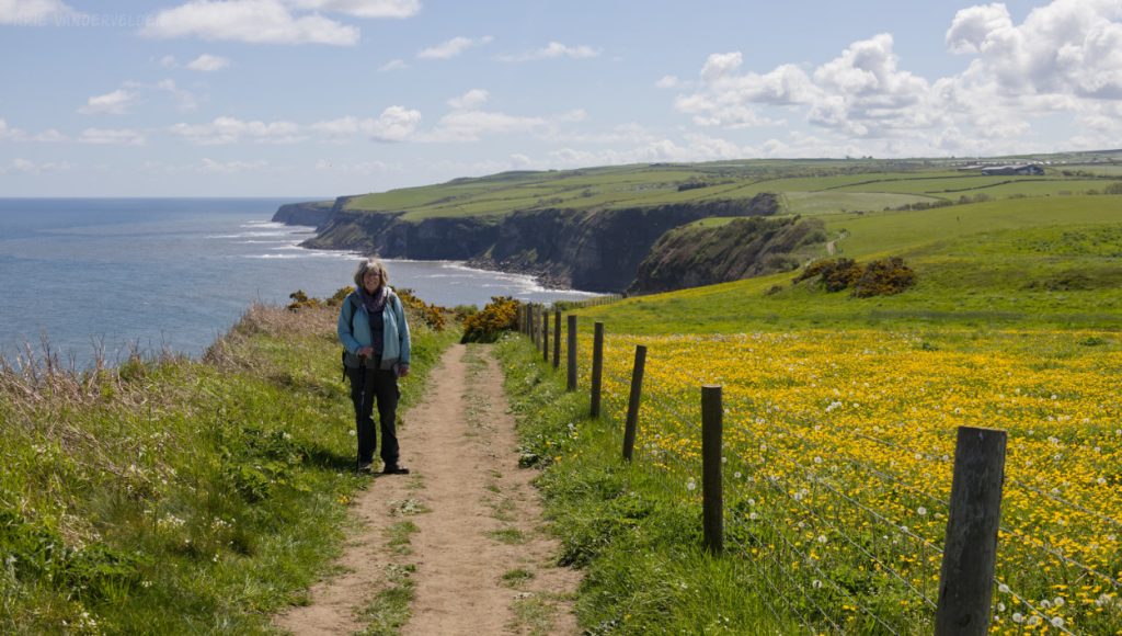
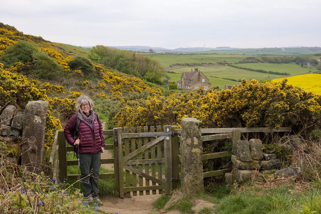
Gate along the path.
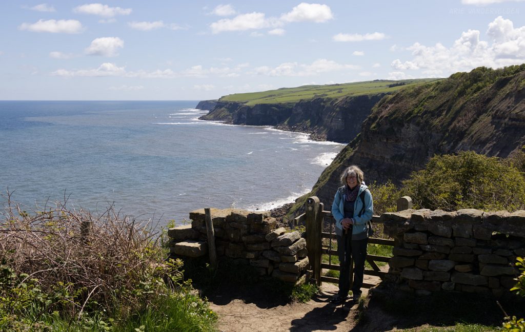
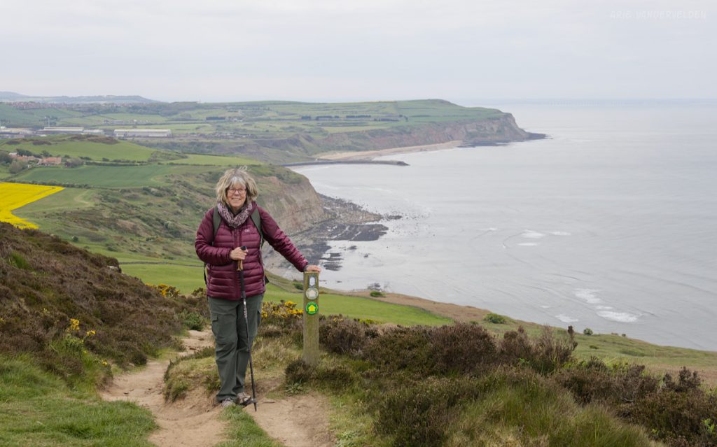
Spectacular views.

Time for tea and a scone.

View towards the final headland before Robin Hoods Bay. Here, the Coast-to-Coast long distance hiking route joins the coastal path. So on this section we were doing the Cleveland Way, The Coast-to-Coast, and the King Charles III Coast Path all at the same time. So were were killing three birds with one stone. Not that I want to kill birds. I like birds.
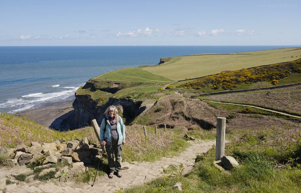
Bluebells in a shady gully.
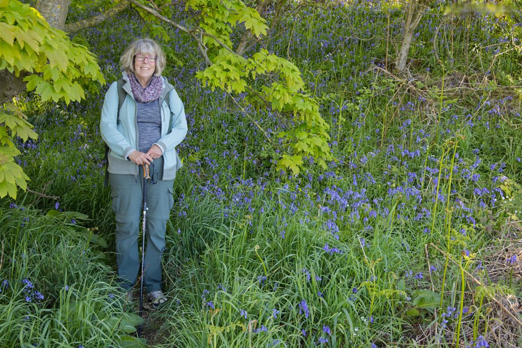
Sombre Jurassic cliffs tower over the North Sea.

Approaching Robin Hoods Bay.
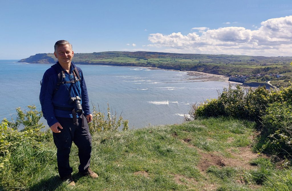
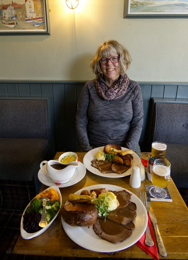
After hiking we went out for a Sunday Roast with all the trimmings at the pub in Robin Hoods Bay. It was very good.
What about Robin Hoods Bay to Scarborough? Scarborough to Filey? Well, we’ll just have to come back another day to do some more hiking.