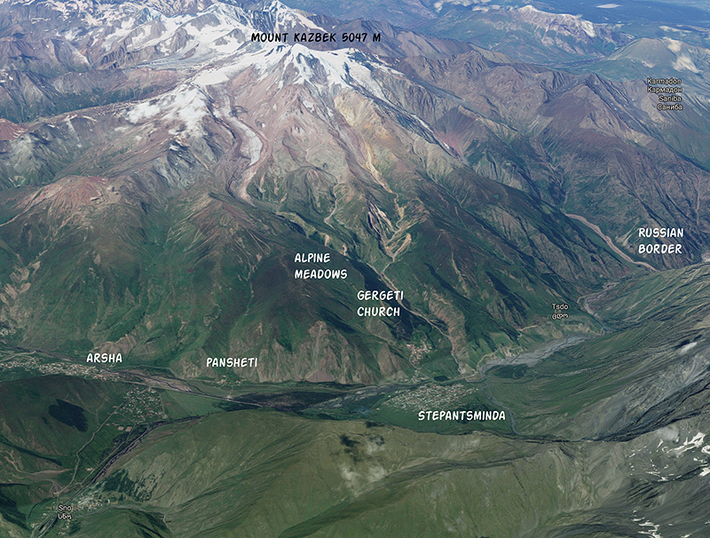
We used the town Stepantsminda as a base for some day hikes. Read about our trip out to the Kazbegi region here.
Hiking to Gergeti Trinity Church
We spent a day hiking to Gergeti Trinity Church and the alpine meadows above it. Most tourists have themselves driven up in Lada 4x4s on a rutted, rocky road. We almost got carsick just looking at the cars bouncing in the track, and decided to hike up instead.
From our guesthouse we walked down into town, crossed the river on the bridge, and then hiked through a meadow to meet up with the dirt track. The road switchbacks up a hillside with ever-expanding views.
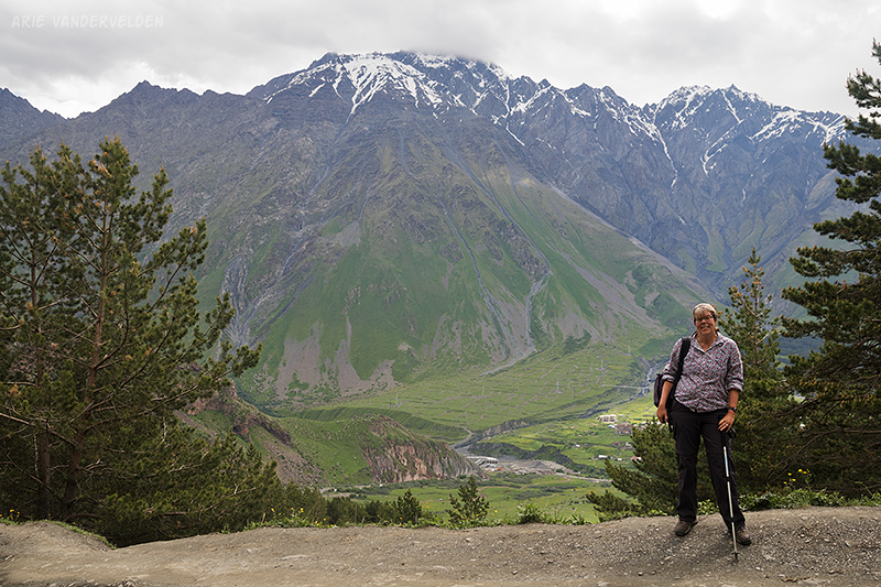
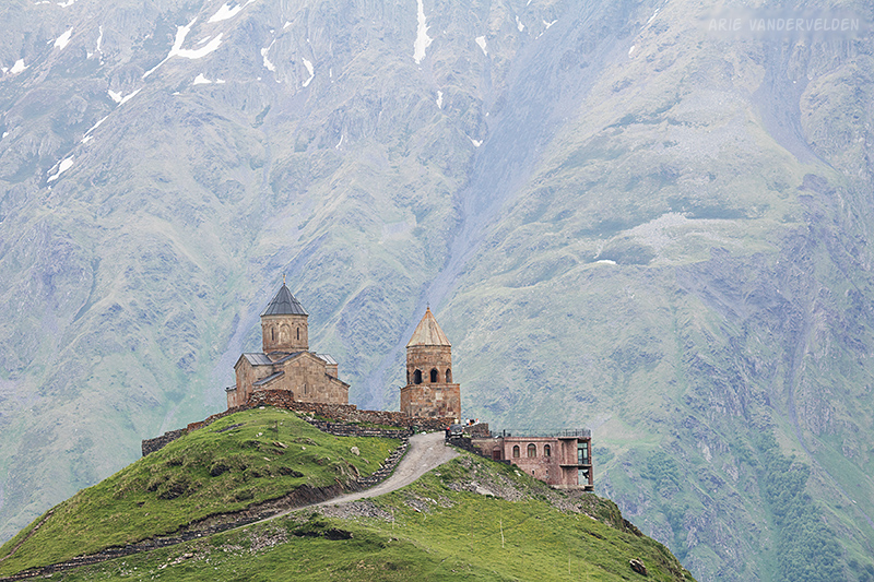
We didn’t actually go to the church. Rather, we hiked the meadows above the church which gives this classic view.
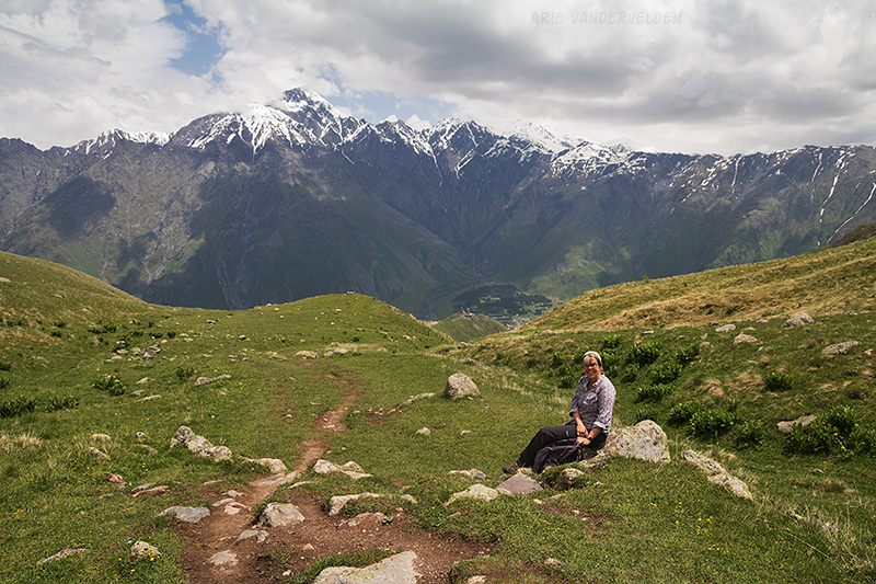
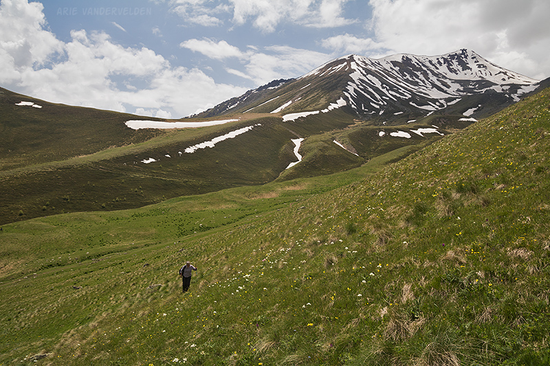
A trail continues upward. This is the climbers trail that heads to Mount Kazbek. We didn’t go nearly as far, though. We hiked a loop through the meadows.
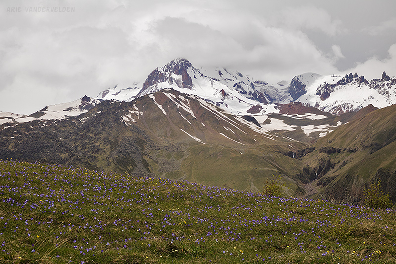
There were some pretty alpine flowers in the meadows.

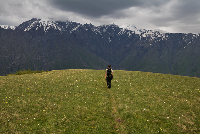
We hiked up to a ridge hoping to get views of Mount Kazbek. At 5047 m, it’s a very tall mountain.
From the top of the ridge we should have had a spectacular view of Kazbek, but sadly it was hidden in the clouds.
We pondered what to do. We noticed dark clouds coming in from the north, and I was concerned about lightning. We decided to head down.
When we got back down to the church it started to rain.
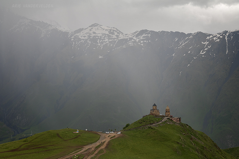
People at the church all jumped into their 4x4s and headed down. We had the place all to ourselves, except for this mysterious figure walking around with an umbrella.

We slogged back down the road in the rain, back to town.
Hiking the Terek River Valley
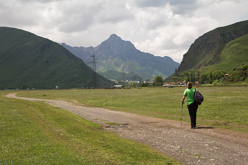
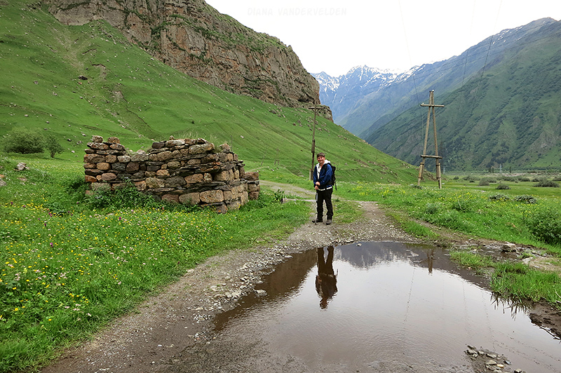
The next day we decided to walk down the main valley. We started by hiking into town, we crossed the bridge, and then followed a track on the river bank. This muddy road meets up with a Jeep track that traverses some gravel flats heads toward an artesian well.
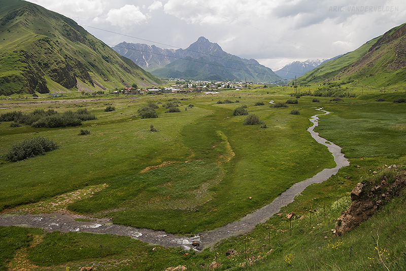
From the gravel flats there were some nice views of the surrounding countryside.
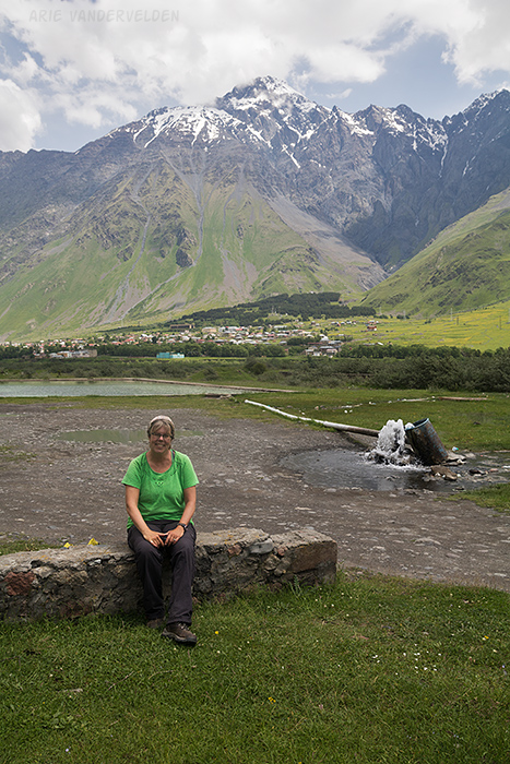
Views across the gravel flats
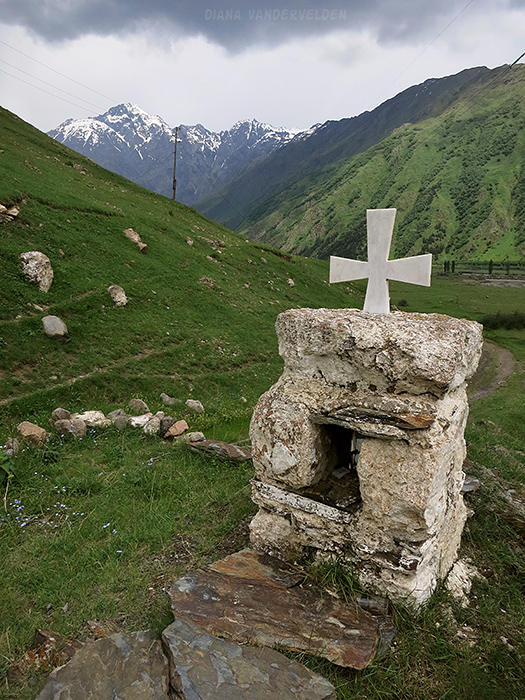
A small shrine stood beside the track.
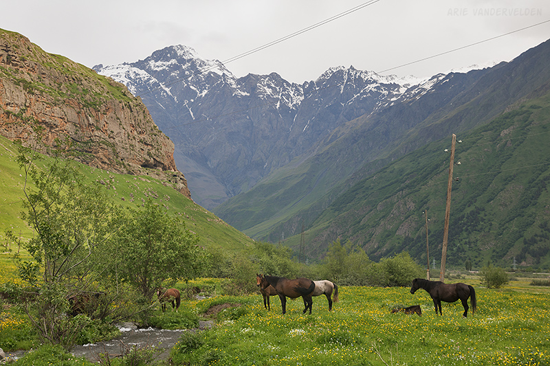
We continued on to a meadow with horses.
It was drizzling a bit off and on, but that didn’t matter.
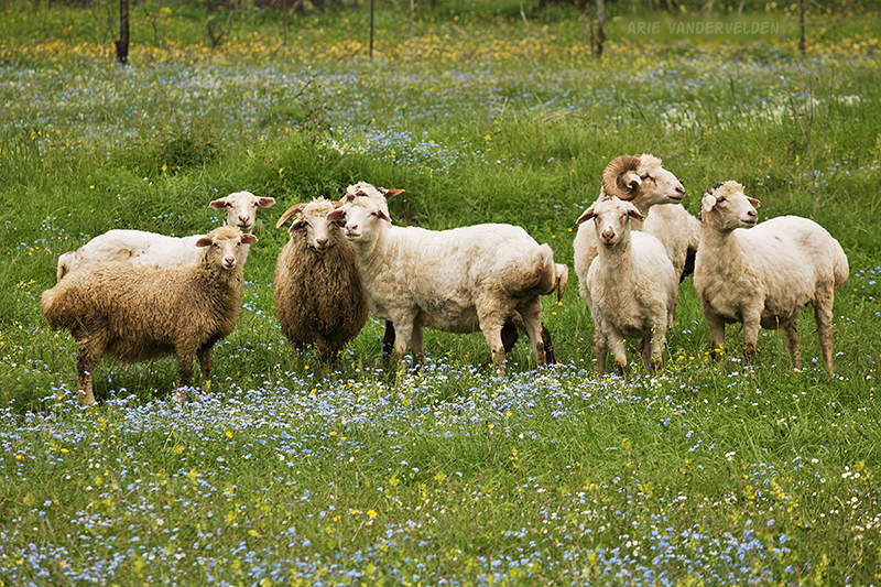
We passed a paddock with sheep.
Along the way is the ramshackle village of Pansheti. Here, just like in Stepantsminda, natural gas lines are mounted above ground.
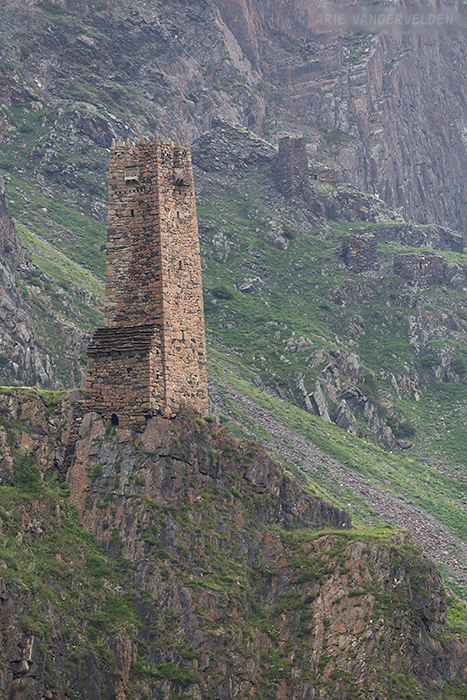
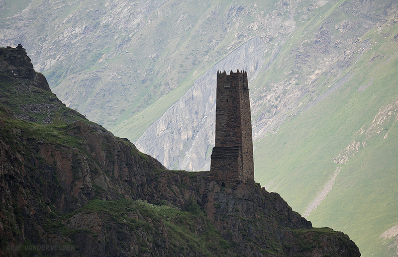
Above the village are some defensive towers. These towers served as refuges for the locals when invaders were passing through. Considering Georgia’s geographic position, this happened quite often throughout history. The Macedonian Alexander the Great, the Mongols, Persians, Ottoman Turks, Russians, and other invaders have repeatedly come through here.

The defensive towers are quite formidable looking. Note the second tower and two other tower bases higher up the slope.
We turned around at the outskirts of Arsha, and we hiked back the way we came.
Logistics
We visited Kazbegi in June 2016. We stayed at the wonderful Gogi Alibegashvili Guesthouse in Stepantsminda.
Stepantsminda is the main town in the Kazbegi region, just south of the Russian border (Chechnya).