Olle 7
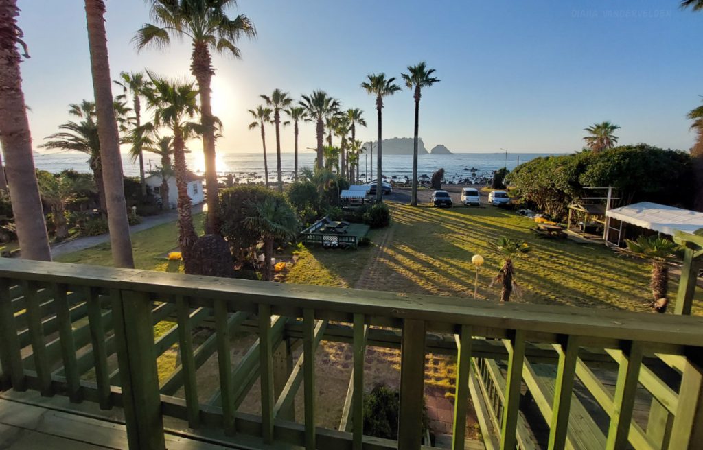
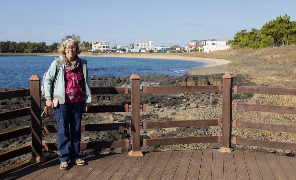
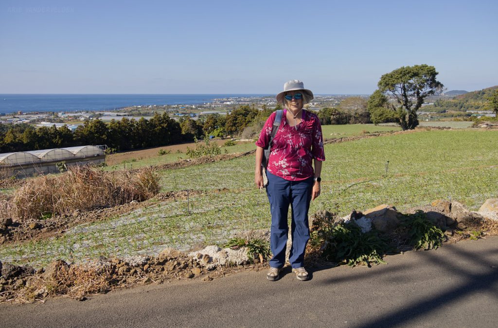
In my previous blog post, I described Olle 1-5. We hiked Olle 6 and part of Olle 7 last year. Here, I’ll continue on describing the remainder of Olle 7. To hike this section we based ourselves at Euro House near Beophwan Village. We stayed at this guesthouse last year and we liked it so much that we came back. It’s a lovely spot and the owners are super friendly. Olle 7 runs right along the shore.
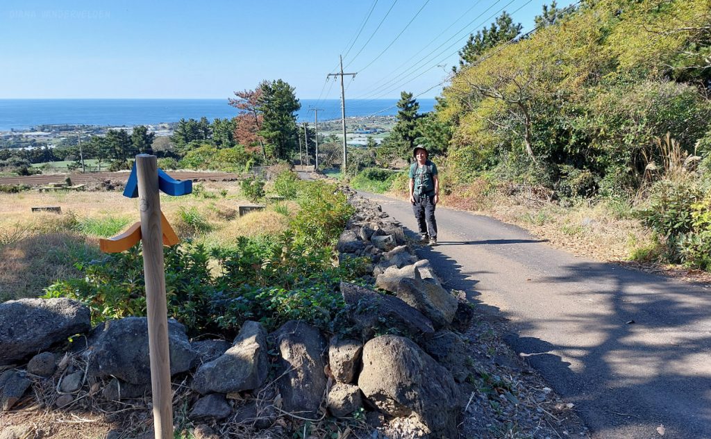
So, one fine morning we woke up, left the guesthouse, and turned right, towards the west. Only 100 m up the trail we ran into a sign indicating that the trail was closed. The suggested detour was along a busy roadway, which we weren’t to keen on hiking. As we were deliberating what to do, a Korean hiker came along and pointed up the closed trail and said: “is okay, is okay.” We followed him, scrambling on rocks along the shore, with only a smattering of a trail. Then we entered an area that was bulldozed, presumably for some sort of tourist development. We followed the Korean hiker, eventually emerging from the bush onto a road where the Olle trail was supposed to be. I would never have found this trail myself and I thanked the man for showing us the way. He told us (through Google Translate) that his daughter lives in Calgary. He had been to visit, and he showed us pictures of himself and his family in the mountains and in the badlands.
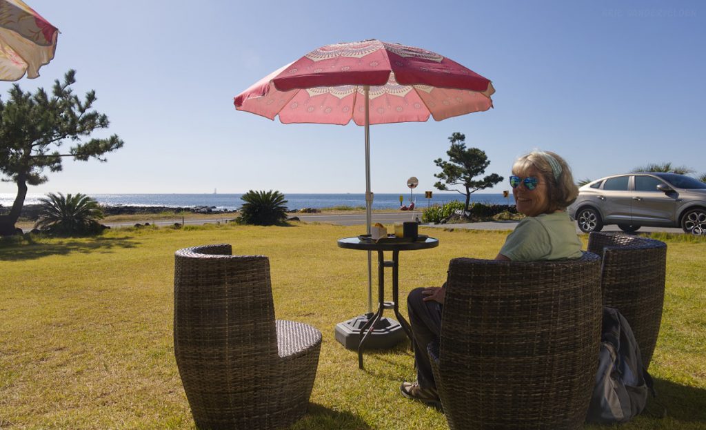
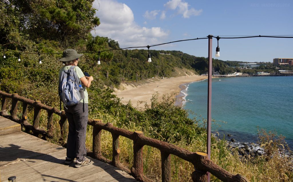
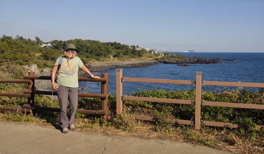
The Korean hiker was headed in another direction and we stopped to get our bearings. We were on the Olle trail but there were no signposts or ribbons to follow. So we decided to freestyle it, heading in the direction that Olle 7 was supposed to take us. We hiked around a huge cruise-ship port, and then turned left onto a coastal road. At a headland there was a fancy resort with a coffee shop. We bought some coffees and cakes and lounged in the garden.
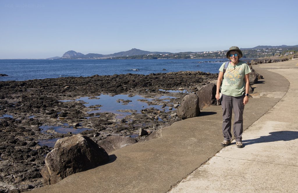
It was a beautiful day, and this section of the coast was exceptionally beautiful. The road we were hiking on virtually had no traffic on it, and we enjoyed the peace and solitude.
Soon we found out the reason for the lack of traffic: the road turned into a construction zone.
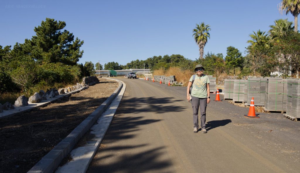
Construction seemed to be at a standstill. We decided to continue along. Hiking along the partially constructed road was eerily quiet. Eventually we did come to an area where there was activity going on. The workers gasped with surprise, and pointed towards a little lane leading into a town where we picked up the flagged trail again.
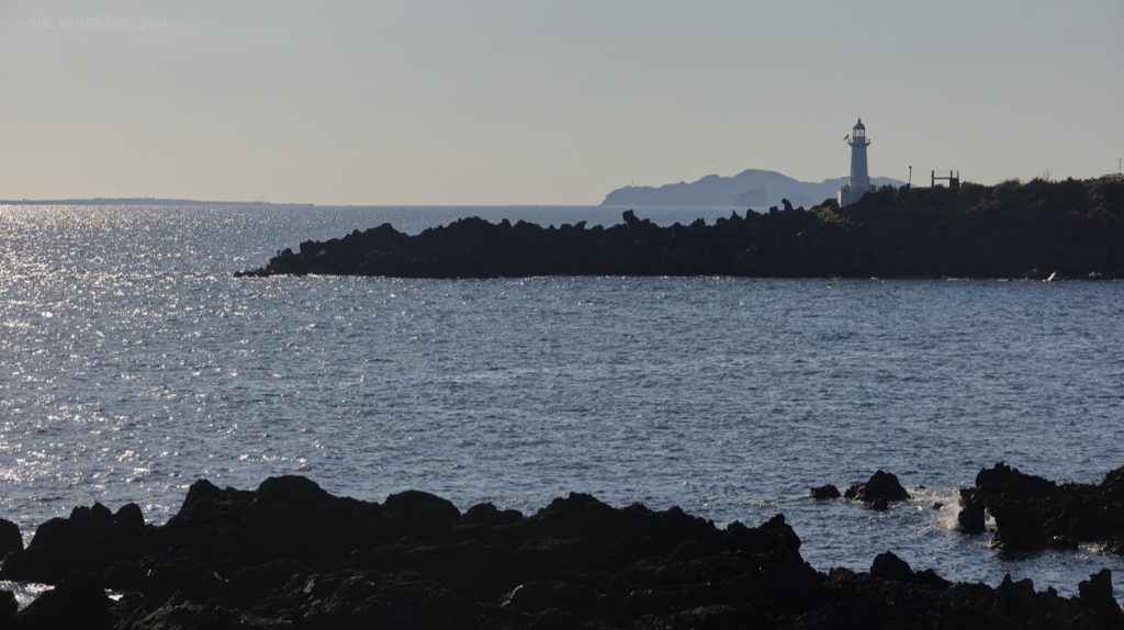
My suspicion is that the developers have taken down all trail signs along this section. As it stands now, Olle 7 goes from Seogwipo to Beophwan (bottom of World Cup-ro road) as described in the guidebook, and then heads inland to connect with Olle 7-1. Olle 7-1 loops back to Seogwipo , and there is no connection to Olle 8. So for those hikers looking to hike around Jeju on a continuous trail, the only way of doing that is to freestyle and to find your own way. It should be possible to do so without having to trespass through construction zones, as we inadvertently did.
Olle 8
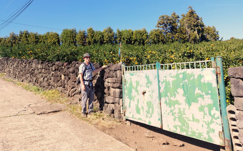
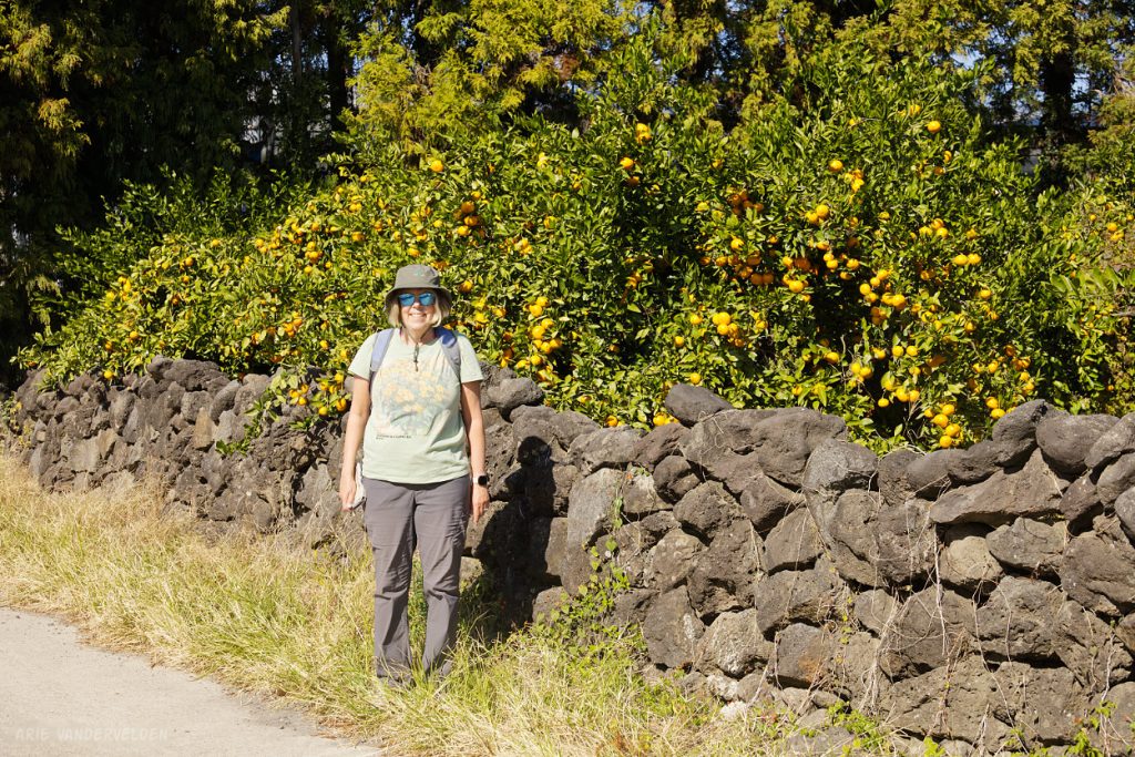
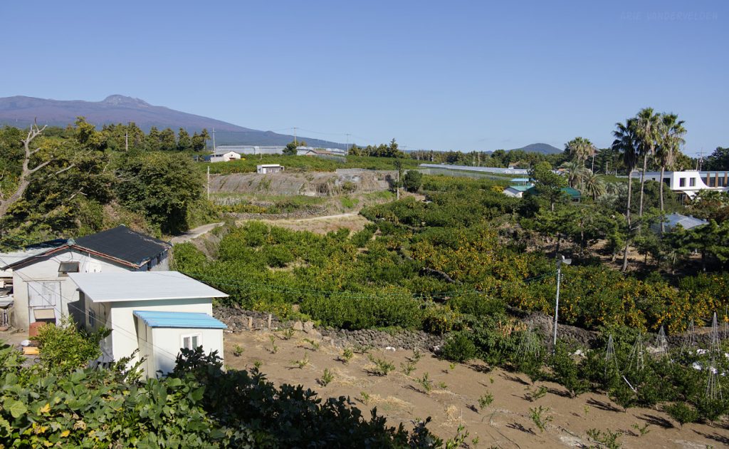
Olle 8 starts in the village of Wolpyeong and follows farm roads past orange groves.
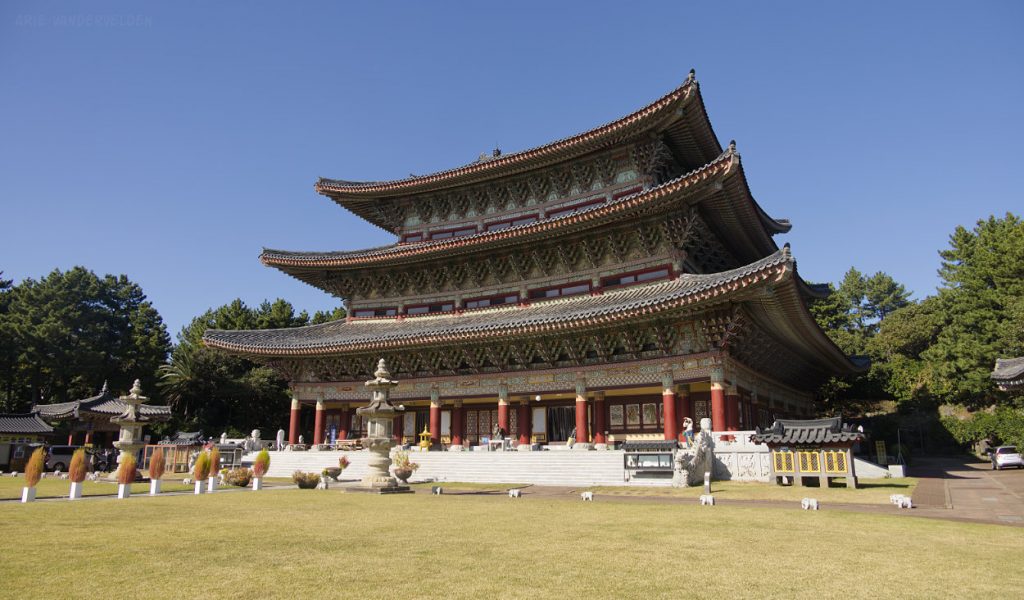
The trail then leads to Yakcheonsa Temple.
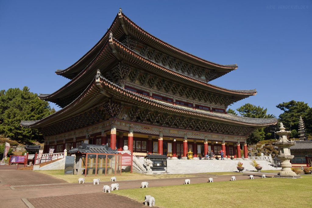
The main temple building is said to be one of the largest of its kind in Asia.
Past the temple, the trail skirted a very pretty valley that was filled with orange groves.
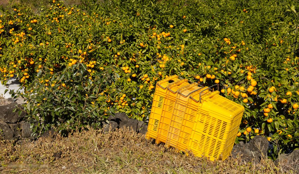
Orange Grove.
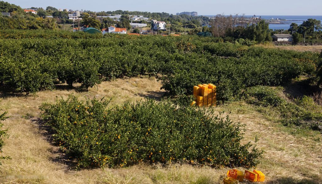
The oranges were ready for picking.
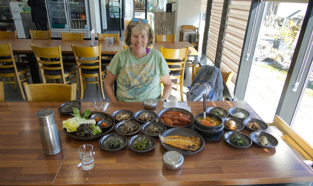
By now it was mid-afternoon and we were famished. In Daepo we found a restaurant that had a set menu only: fried fish, stewed fish, seafood soup, 12 side dishes, lettuce, sauces, rice… Oh my it was a feast.
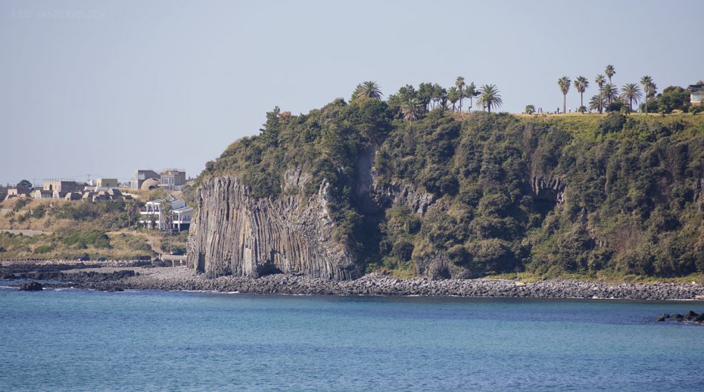
Past Daepo there was a park with a coastal path. Hiking here was very nice, but the main viewpoint was gated and by paid admission only. Apparently the attraction was some views of columnar basalts. This area was crowded with bus tourists so we decided to press on. As it was, there was a good view of an outcrop of columnar basalt a bit further along the trail that could be viewed for free.
Just past this area we entered the Jeju Tourist zone. There was a gigantic conference center, a string of massive hotels, a wax museum, a teddy bear museum, chocolate land, and lots and lots and lots more. It was a totally different world compared to the bucolic little fishing villages and orange orchards. Until now we had wondered where all the tourists went, given that the airport gets more than 100 flights per day. Now, things started to make sense. We called it a day and took the bus back to Beophwan.
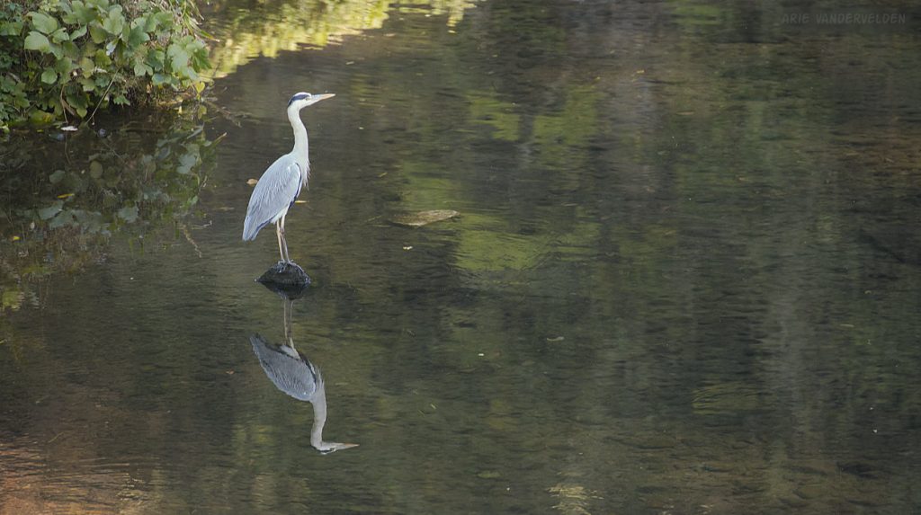
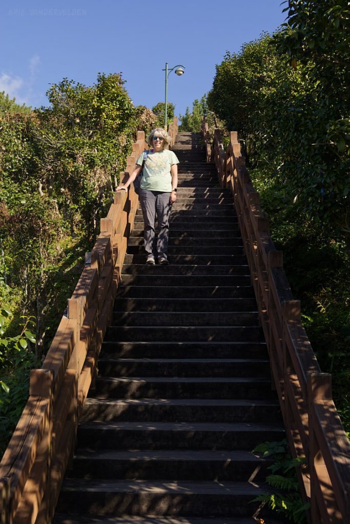
The next day we continued Olle 8 by exploring Saektal-Ch’on, a deep canyon that splits the tourist zone in two. I spotted this heron at the bottom of the canyon.
Endless stairs led up the canyon wall.
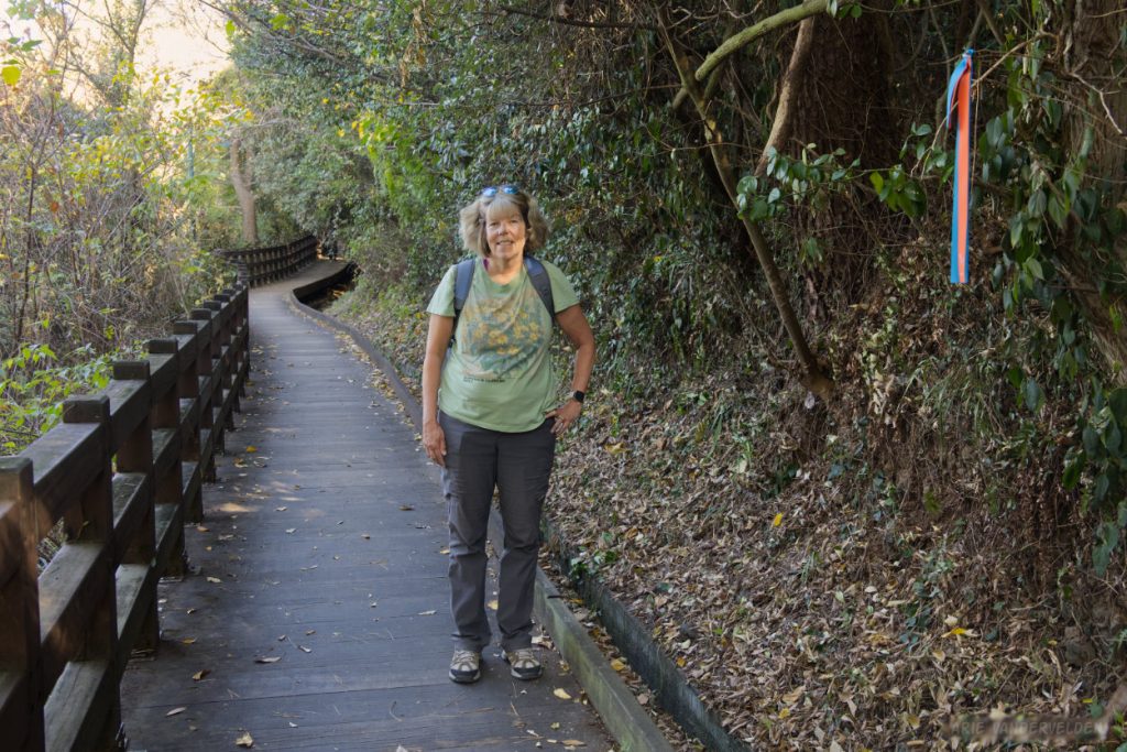
At the top of the stairs the trail leveled off and started following an irrigation canal. It reminded me of the levadas in Madeira, which also contour around steep terrain.
The trail led to a pretty little temple. It was a very peaceful spot, which was surprising given that Jeju’s tourist zone is only a stone’s throw away.
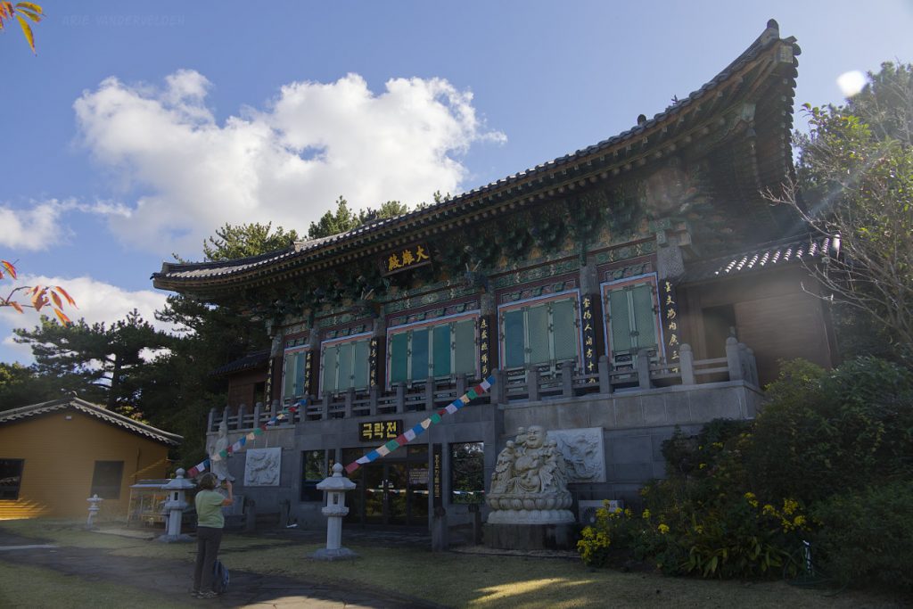
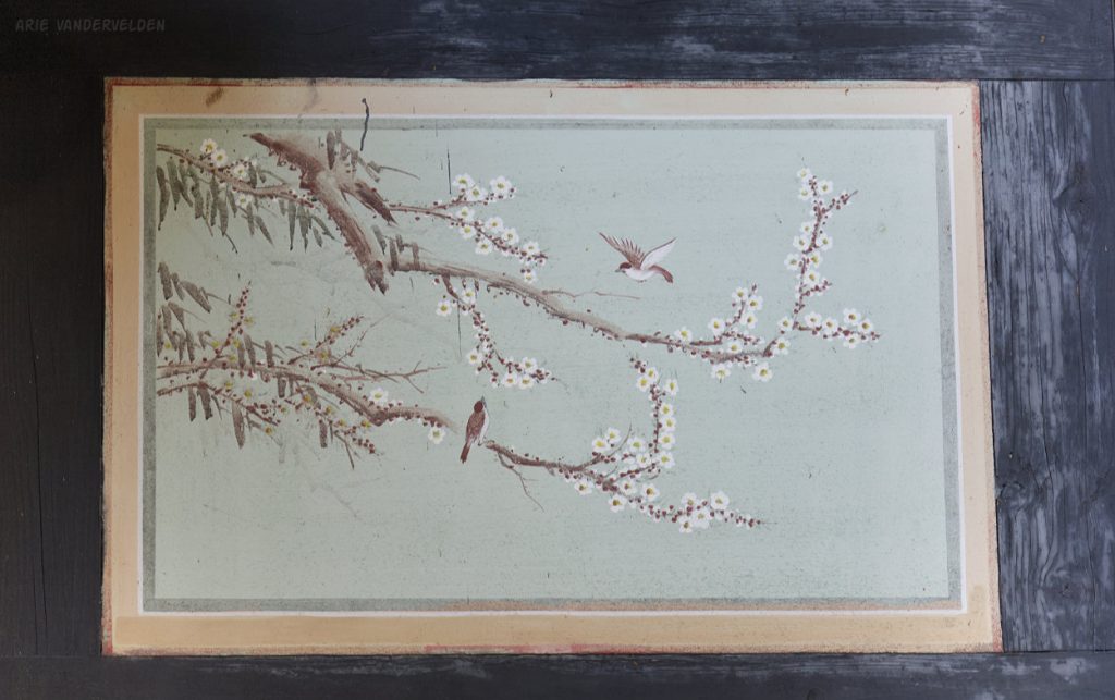
The outside walls of this temple featured some nice paintings with birds. Each painting had different pairs of birds. Although executed in a very simple manner, I liked these paintings a lot. To me they spoke of love.
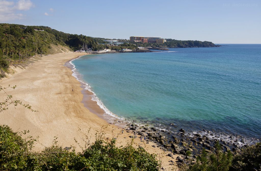
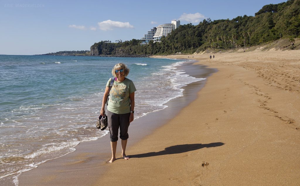
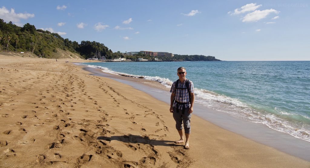
We continued down the coast. The next point of interest was Jungmun Saekdal Beach. This is easily the most spectacular beach on the south coast of Jeju Island. There were only a few people around, which is surprising given that this beach is right in the middle of the tourist zone. There are thousands upon thousands of hotel rooms nearby. Anyways, we had the beach mostly to ourselves.
We took off our shoes and waded in the surf.
Pretty Jungmun Saekdal Beach.
Viewpoint at Parnas Resort.
Ahead was an outcrop of columnar basalt called Gaekgat. On top of this bluff is the Jungmun golf course, and the only way to get past it is to hike all the way around, a 5 km slog to gain 1 km of coastline.
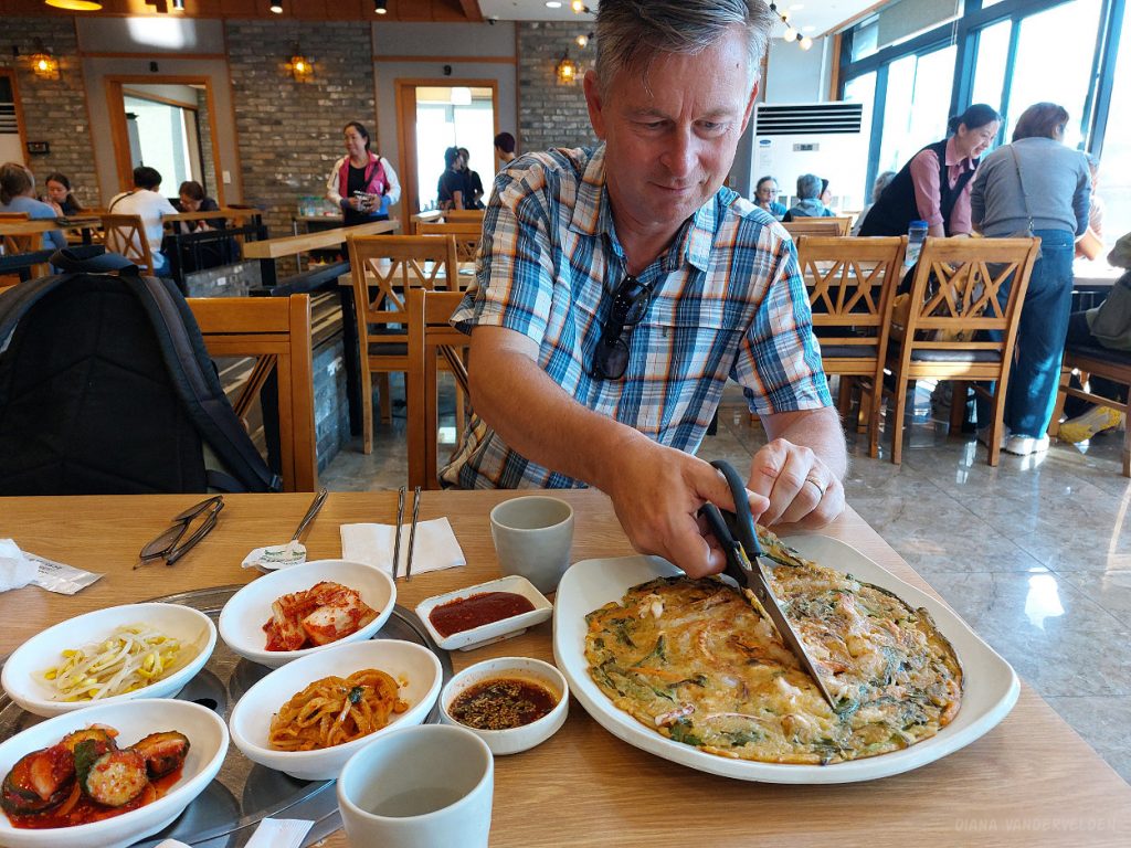
The detour took us right through the heart of the tourist zone. We stopped for lunch at a restaurant which we assumed to be a tourist trap. However, the people were very friendly, and the bibimbap (rice with toppings) and the pajeon (pancake) that we ordered were very good.
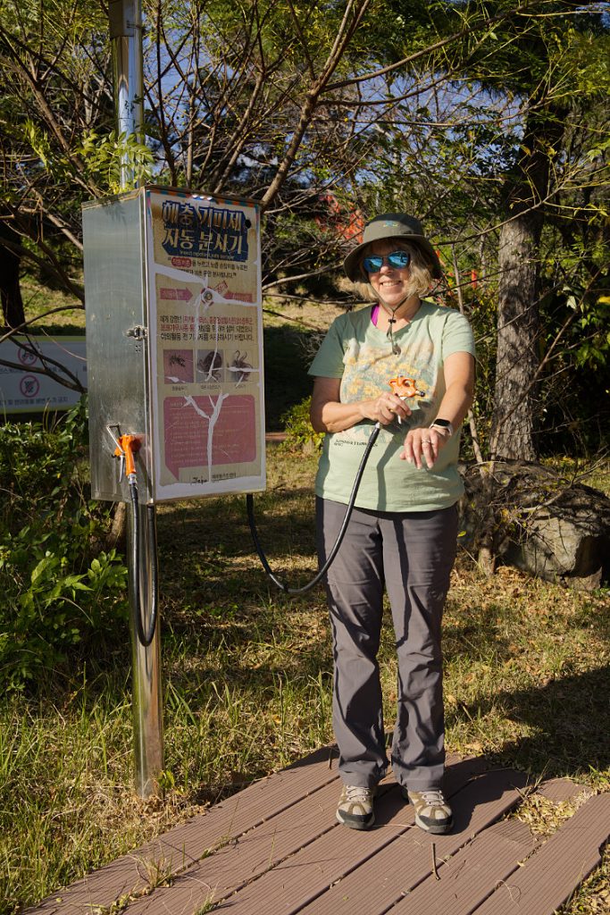
On the west side of the golf course, we left the hubbub of the tourist zone behind. Here the farmers had been evicted, the land had been bulldozed, and roads had been constructed in preparation of more tourist development. The Olle trail led through a scruffy park that followed a stream towards the sea. Along the trail was an insect repellent spraying station.
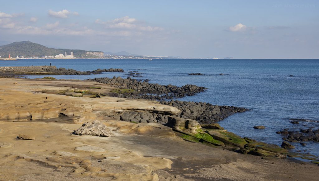
Back at the seaside, the scenery improved rapidly. Black lava flows jutted out into the sea.
We enjoyed the soft afternoon light.
Olle 9
We have not yet hiked Olle 9, nor the last 2 km of Olle 8, nor the first 2 km of Olle 10. We’ll just have to come back some day…
Olle 10
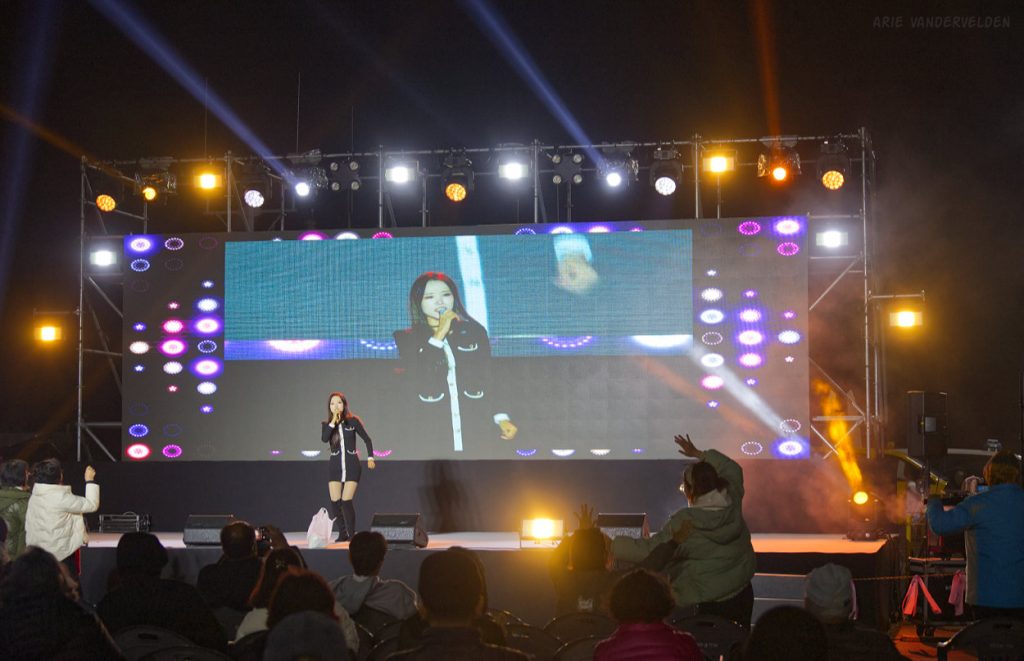
To hike Olle 10 and 11 we moved to the port town of Moseulpo. When we drove into town it suddenly became very busy, with cars and people everywhere. As it turned out there was a festival going on – surprise! Police directed us away from the harbour area where our hotel was located, so we parked along the coastal road some distance out of town, and then we hiked in towards the action. After checking in at our hotel we went to see what the hubbub was all about. There was a street with market stalls heading towards the main square where there was a stage. We watched as a young girl belted out a pop song. So now we can say we’ve watched K-pop being performed live!
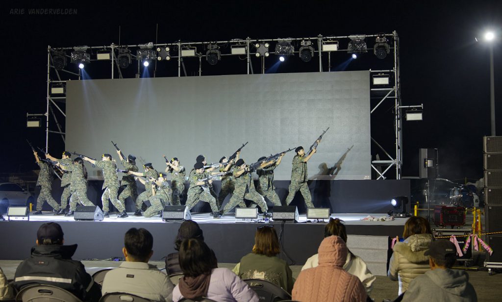
Several other acts followed, including a group of youth dressed in army fatigues, dancing hip-hop moves to some very jarring music. The rifles they were waving around didn’t look like props. Their dance had elements that symbolized struggle, aggression, and repression. It was a poignant reminder of the geopolitical situation that South Korea is in.
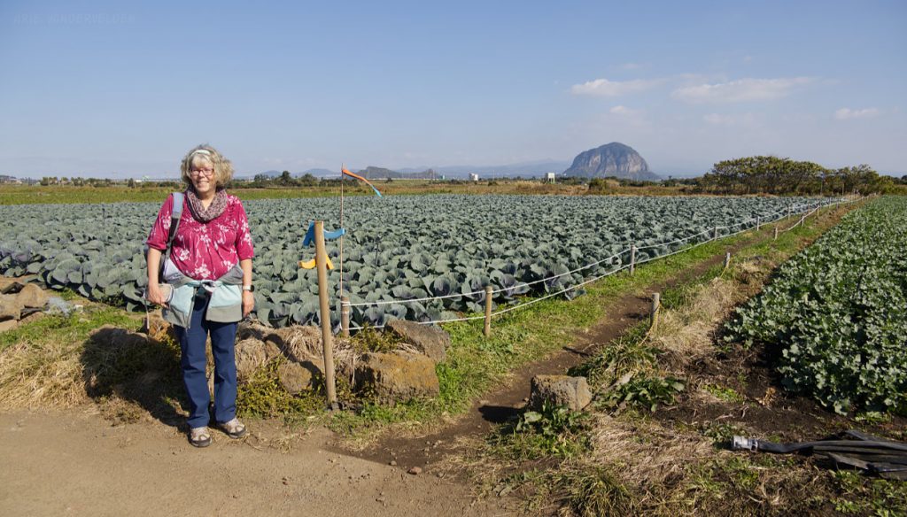
Olle 10 took us through some cabbage fields to pretty Hamo Beach.
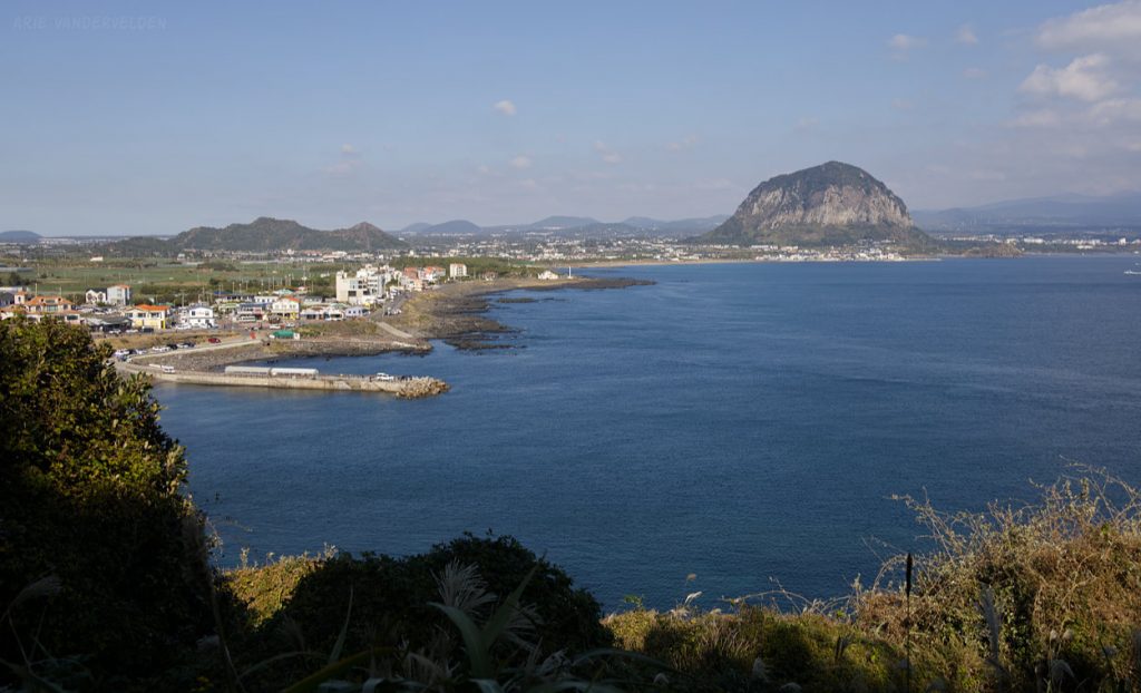
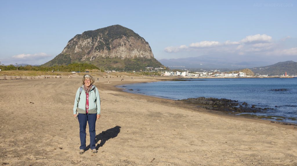
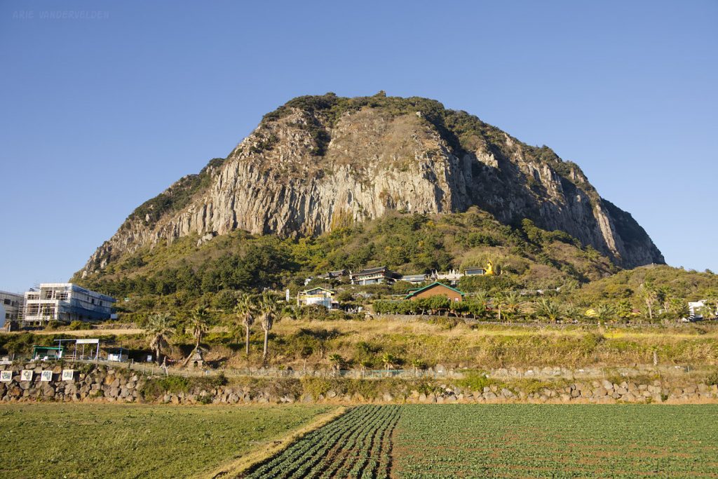
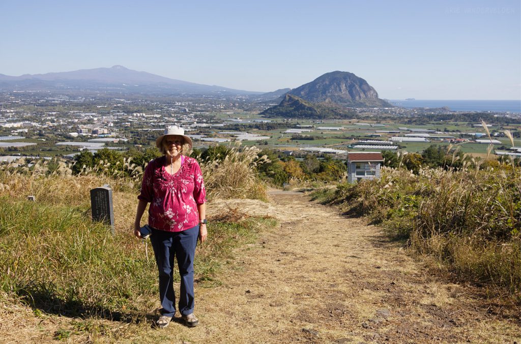
More cabbage, radish, and potato fields followed. I imagine that most of the cabbages will be turned into kimchi. Note the distinct volcanic plug in the distance. This is Sanbangsan Mountain, which was to be our destination for the day.
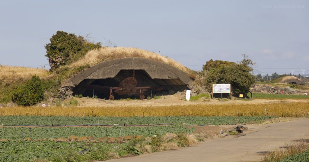
Ahead, Olle 10 crossed an area that used to be an airfield during the Japanese occupation. Concrete bunkers for hiding airplanes still remained.
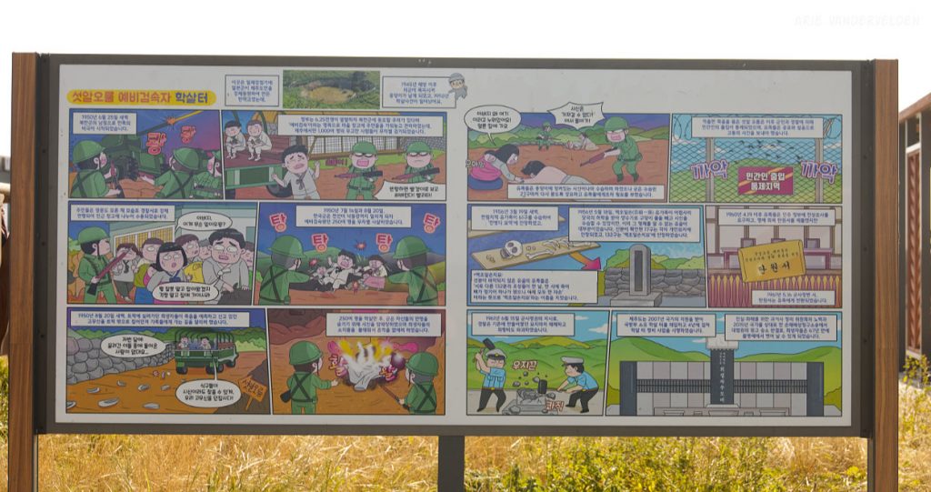
There were signboards explaining the airfield’s history with cartoons. I do not read of speak Korean, but the depiction of the atrocities committed here was crystal clear.
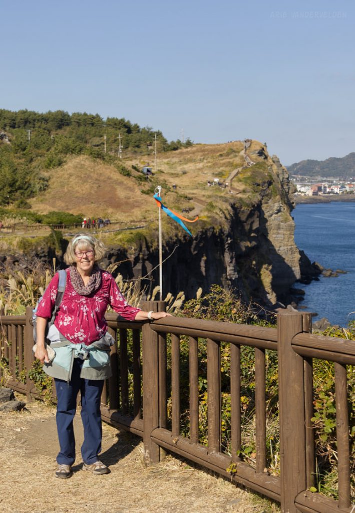
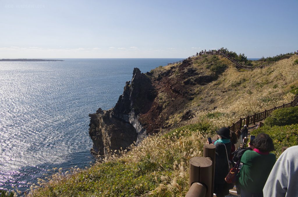
Ahead was a peninsula called Songkasan. Songkasan has steep cliffs jutting out into the sea, and a wooden boardwalk leads along the top of the cliffs, circumnavigating the perimeter of the peninsula.
There were some nice views from the trail.
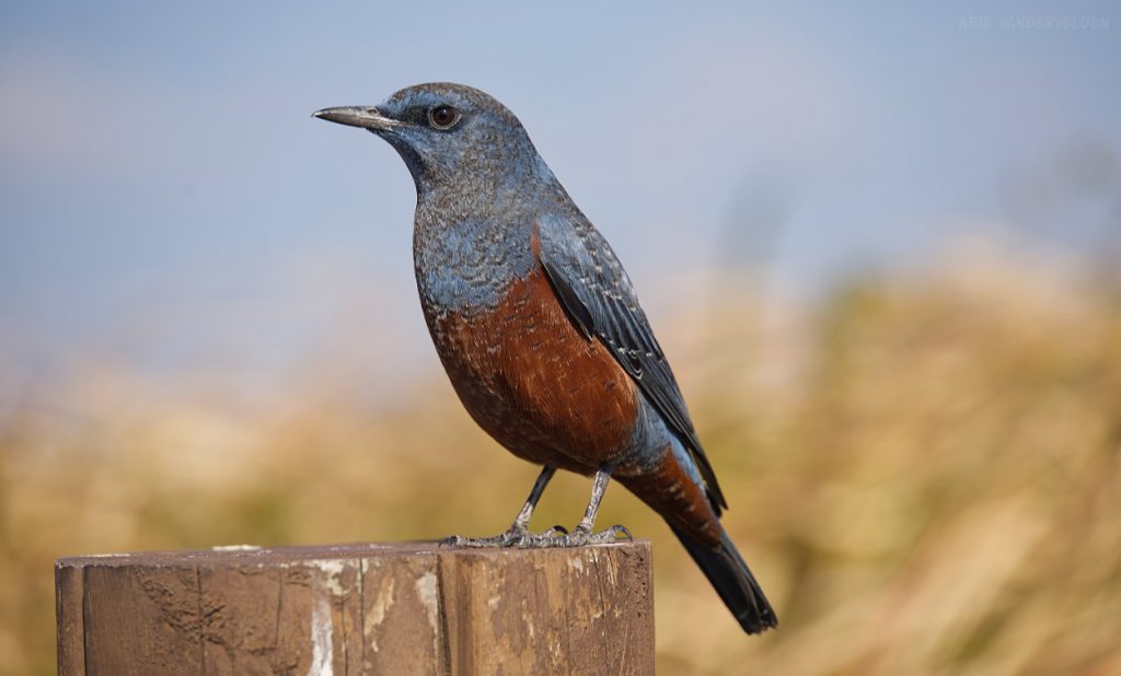
A blue rock-thrush posed for me.
The boardwalk around Songkasan is a popular tourist attraction.
After our circumambulation of Songkasan we had worked up an appetite. We stopped at a cafeteria and had eggs Benedict, Korean style. Oh my, it was good.
After lunch we walked along Sagye Beach towards Sanbangsan Mountain.
There was an interesting geological outcrop at the beach: pale yellow sandstone unconformably overlying black blocky basalt.
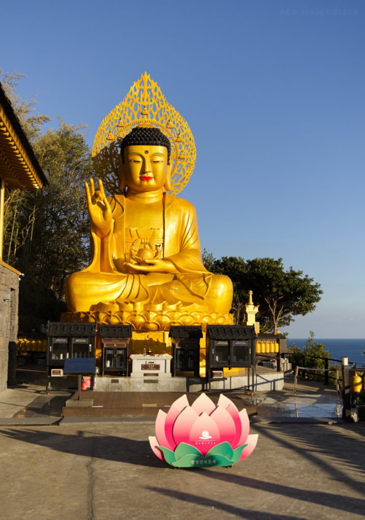
Approaching Sanbangsan Mountain, our destination for the day. On the lower slope of the mountain is a temple with a golden Buddha.
Golden Buddha.
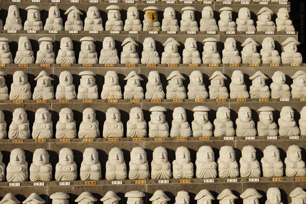
Small statues, which I assume represent people who have passed away, were lined up next to the Buddha.
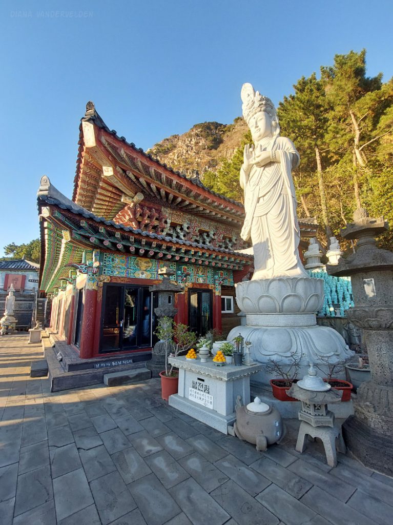
Sanbangsa Temple.
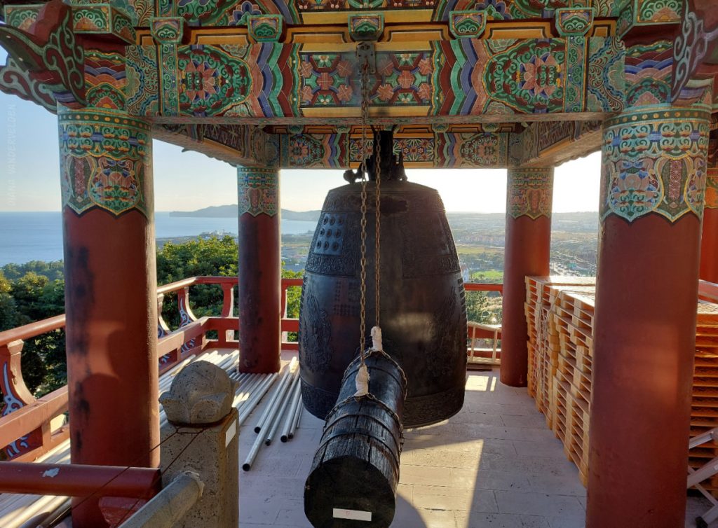
Gong.
Olle 11
On our last day on Jeju, we hiked the first two-thirds of Olle 11. Starting in Moseulpo, it heads northwest along the coast for a short distance before heading inland.
The trail led us to the top of Moseulbong. There was a nice view from the top.
The trail then went down the backside of Moseulbong and wandered around farmland. At the village of Sinpyeong, we had lunch and then caught the bus back to town.
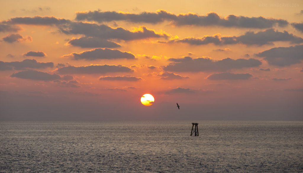
Sunset, Moseulpo.
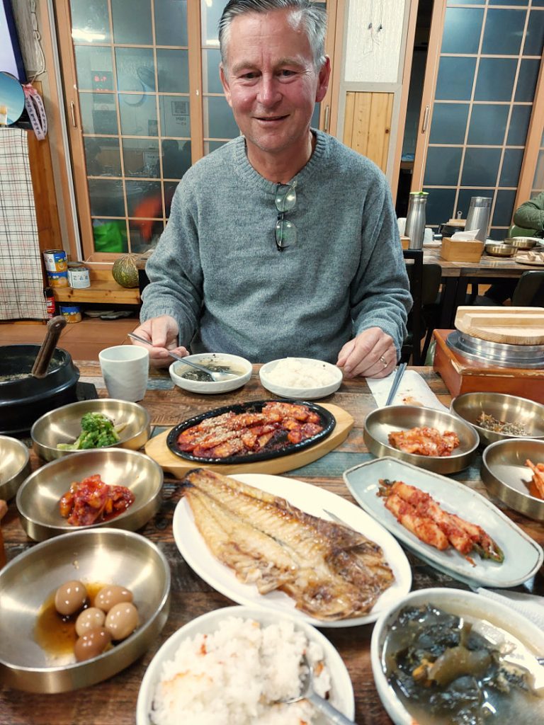
Dinner in Moseulpo.
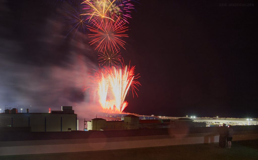
Our last night in Moseulpo was also our last night on Jeju Island. That same night, the festival came to an end with a display of fireworks. It seemed like a fitting ending.
Go to part 3 – the northwest.